Welshpool is worth a stop: 10 minutes from Guilsfield, 29km from B4391 Milltir Gerrig.
Welshpool is in Wales, United Kingdom, with about 6,800 people. You drive on the left here. The nearest town is Guilsfield, about 4 km away.
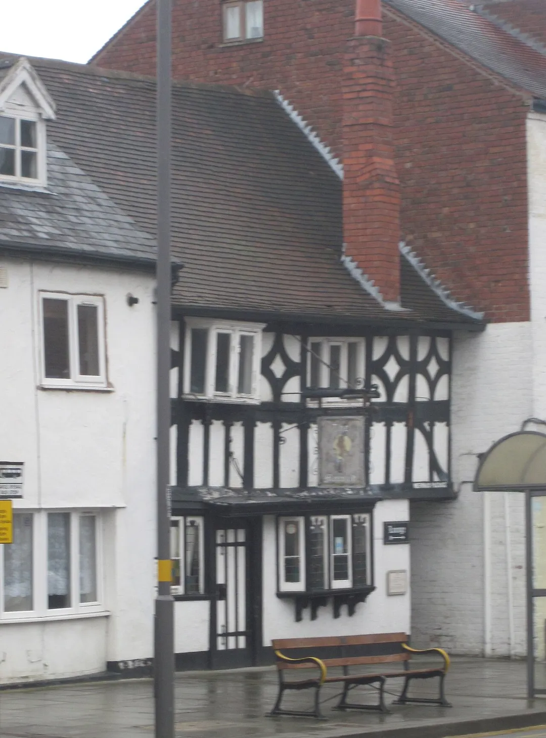
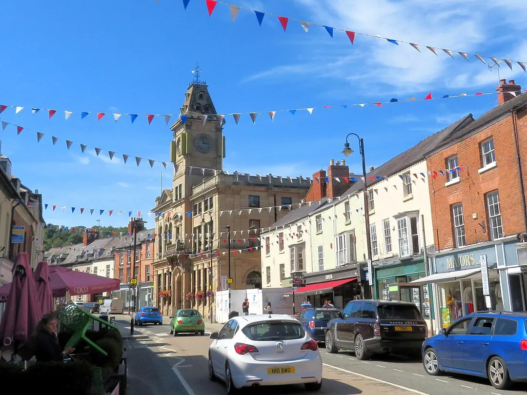
Welshpool (Welsh: Y Trallwng ) is a market town and community in Powys, Wales, historically in the county of Montgomeryshire. The town is four miles (six kilometres) from the Wales–England border and low-lying on the River Severn. The community, which also includes Cloddiau and Pool Quay, has a population of 6,664 (asRead more of the 2011 United Kingdom census), with the town having 5,948. There are many examples of Georgian architecture within the town. Powis Castle is located to the south-west.
Within an hour or so of Welshpool: Loton Park (15 km), Pistyll Rhaeadr (27 km), B4391 Milltir Gerrig (29 km), Bwlch y Groes (Pass of the Cross) (35 km).
Are there any good drives near Welshpool?
The nearest famous roads are B4391 Milltir Gerrig, Bwlch y Groes (Pass of the Cross) and Horseshoe Pass.
Where is Welshpool?
Welshpool is in Wales, United Kingdom, about 4 km from Guilsfield.
Road trip
Drive to Welshpool
Add it as a stop and the planner works out the driving, the nights and what's worth seeing on the way.
A 1,475-yard hillclimb running through the deer park of a Shropshire country estate, twisting between mature trees with the hill's Museum Corner and Fallow bends. One of Britain's most scenic speed venues.
15 km · about 30 min drive
waterfall
Pistyll Rhaeadr
Wales's tallest single-drop waterfall at 73 metres, cascading through a natural rock arch in a remote Berwyn Mountains valley.
27 km · about 30 min drive
famous road
B4391 Milltir Gerrig
A high, empty moorland crossing of the Berwyn range between Bala and Llangynog, all long sightlines and sheep.
29 km · about 35 min drive
mountain pass
Bwlch y Groes (Pass of the Cross)
Wales's highest public road at 545m, a 1-in-4 climb from Llanuwchllyn used for pre-war motoring hill-climb tests.
35 km · about 40 min drive
natural wonder
Llyn Clywedog
A reservoir near Llanidloes held by Britain's tallest concrete dam, with a scenic loop road and views to Plynlimon.
37 km · about 45 min drive
famous road
Bwlch y Groes (Hellfire Pass)
Wales's highest public road at 545m, a 1-in-4 single-track climb from Llanuwchllyn used for decades as a motoring hill-climb test.
38 km · about 45 min drive
mountain pass
Horseshoe Pass
Sweeping A542 mountain pass curling above Llangollen in a giant horseshoe, climbing to 417m past the Ponderosa Cafe with wide views over the Dee Valley. A classic North Wales driving and biking road.
40 km · about 45 min drive
mountain pass
Horseshoe Pass (Bwlch yr Oernant)
A sweeping 417m moorland pass on the A542 above Llangollen, with the Ponderosa cafe at the top and views to the Berwyns.
40 km · about 45 min drive
Driving roads near Welshpool
7 named roads, passes and coastal drives within 60km.
29 kmB4391 Milltir GerrigA high, empty moorland crossing of the Berwyn range between Bala and Llangynog, all long sightlines and sheep.
35 kmBwlch y Groes (Pass of the Cross)Wales's highest public road at 545m, a 1-in-4 climb from Llanuwchllyn used for pre-war motoring hill-climb tests.
38 kmBwlch y Groes (Hellfire Pass)Wales's highest public road at 545m, a 1-in-4 single-track climb from Llanuwchllyn used for decades as a motoring hill-climb test.
40 kmHorseshoe PassSweeping A542 mountain pass curling above Llangollen in a giant horseshoe, climbing to 417m past the Ponderosa Cafe with wide views over the Dee Valley. A classic North Wales driving and biking road.
40 kmHorseshoe Pass (Bwlch yr Oernant)A sweeping 417m moorland pass on the A542 above Llangollen, with the Ponderosa cafe at the top and views to the Berwyns.
48 kmElan Valley Mountain Road (Rhayader to Aberystwyth)An empty 1930s-built mountain road over the Cambrian desert past Claerwen, with cattle grids and no villages for 20 miles.