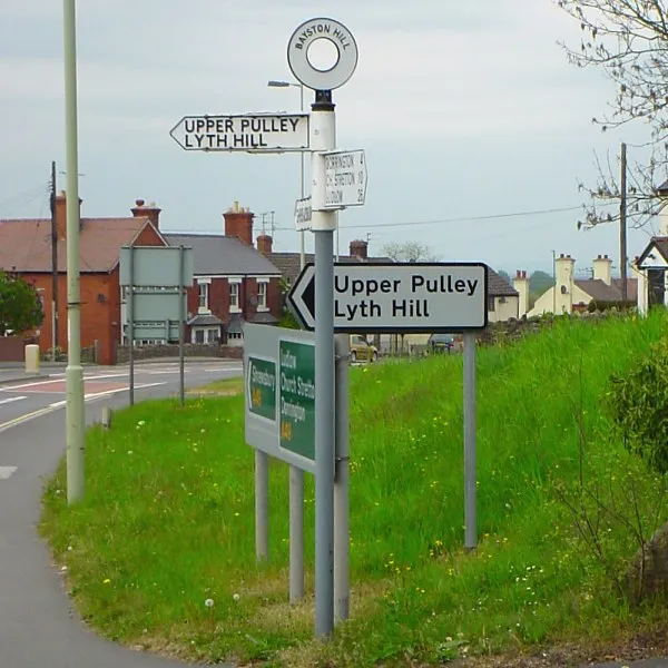
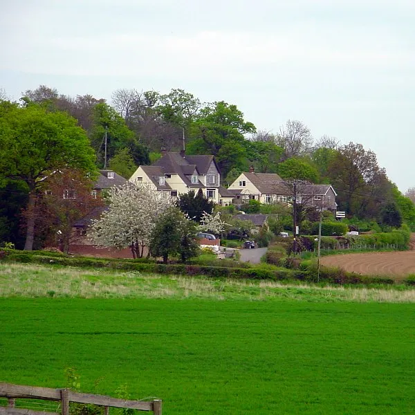
Bayston Hill is worth a stop: 5 minutes from Great Hanwood, 46km from Pistyll Rhaeadr.
Bayston Hill is in England, United Kingdom, with about 5,100 people. You drive on the left here. The nearest town is Great Hanwood, about 4 km away.
Bayston Hill is a village and civil parish in Shropshire, England. It is 3 miles (5 km) south of the county town Shrewsbury and located on the main A49 road, the Shrewsbury to Hereford road.
Occupied continuously since before the Middle Ages, the village had a population of 5,079 residents in 2,172 households in theRead more 2011 census. Bayston Hill has three public houses, two built churches (Church of England and Methodist), one primary school called Oakmeadow, and a public library.
Lyth Hill lies to the south of the village.
A 1,475-yard hillclimb running through the deer park of a Shropshire country estate, twisting between mature trees with the hill's Museum Corner and Fallow bends. One of Britain's most scenic speed venues.
14 km · about 25 min drive
landmark
Ironbridge Gorge
Birthplace of the Industrial Revolution and UNESCO World Heritage Site, home to the world's first iron bridge built in 1779.
19 km · about 20 min drive
waterfall
Pistyll Rhaeadr
Wales's tallest single-drop waterfall at 73 metres, cascading through a natural rock arch in a remote Berwyn Mountains valley.
46 km · about 55 min drive
mountain pass
Horseshoe Pass
Sweeping A542 mountain pass curling above Llangollen in a giant horseshoe, climbing to 417m past the Ponderosa Cafe with wide views over the Dee Valley. A classic North Wales driving and biking road.
48 km · about 55 min drive
mountain pass
Horseshoe Pass (Bwlch yr Oernant)
A sweeping 417m moorland pass on the A542 above Llangollen, with the Ponderosa cafe at the top and views to the Berwyns.
48 km · about 55 min drive
cafe
Ponderosa Cafe
A legendary biker stop high on the Horseshoe Pass above Llangollen with panoramic views across the Welsh valleys.
49 km · about 55 min drive
museum
Black Country Living Museum
Open-air museum rebuilding an industrial Black Country town: canal boats, a working replica Newcomen engine, 1930s fish and chips fried in beef dripping, and a coal mine walk. A key Peaky Blinders filming location.
49 km · about 55 min drive
film location
Black Country Living Museum (Peaky Blinders)
The open-air museum in Dudley provides the canal-side streets and workshops of Peaky Blinders' Small Heath.
49 km · about 55 min drive
Driving roads near Bayston Hill
48 kmHorseshoe PassSweeping A542 mountain pass curling above Llangollen in a giant horseshoe, climbing to 417m past the Ponderosa Cafe with wide views over the Dee Valley. A classic North Wales driving and biking road.
48 kmHorseshoe Pass (Bwlch yr Oernant)A sweeping 417m moorland pass on the A542 above Llangollen, with the Ponderosa cafe at the top and views to the Berwyns.
50 kmB4391 Milltir GerrigA high, empty moorland crossing of the Berwyn range between Bala and Llangynog, all long sightlines and sheep.
59 kmBwlch y Groes (Pass of the Cross)Wales's highest public road at 545m, a 1-in-4 climb from Llanuwchllyn used for pre-war motoring hill-climb tests.
62 kmBwlch y Groes (Hellfire Pass)Wales's highest public road at 545m, a 1-in-4 single-track climb from Llanuwchllyn used for decades as a motoring hill-climb test.
68 kmEvo TriangleLegendary 20-mile loop of the A5, A543 and B4501 across the empty Denbigh Moors, made famous as evo magazine's road-test circuit. Fast, open sightlines past Llyn Brenig make it a pilgrimage for keen drivers.