ancient ruins
Gyeongju Tumuli Park (Daereungwon)
A vast royal burial ground containing massive grass-covered tomb mounds of Silla Dynasty kings and queens.
25 km · about 30 min drive
Gyeongsangbuk-do, South Korea · Asia
Pohang works well as a base: 10 minutes from Yeonil, 44km from Juwangsan National Park.
Pohang is in Gyeongsangbuk-do, South Korea, with about 490,000 people. You drive on the right here. The nearest town is Yeonil, about 5 km away.
Pohang (Korean: 포항; Korean pronunciation: [pʰo.ɦaŋ]) is the largest city in North Gyeongsang Province, South Korea, with a population of 499,363 as of 2022, bordering the East Sea to the east, Yeongcheon to the west, Gyeongju to the south, and Cheongsong and Yeongdeok County to the north.
The city has food, textile,Read more
and metal industries. Agricultural products such as grapes, persimmons and garlic chives are abundant, and the city's proximity to the East Sea has led to the development of a fishing industry. Gwamegi is a local specialty.
The South Korean Marine Corps 1st Division is stationed in Pohang, and their Education and Training Command is located there as well.
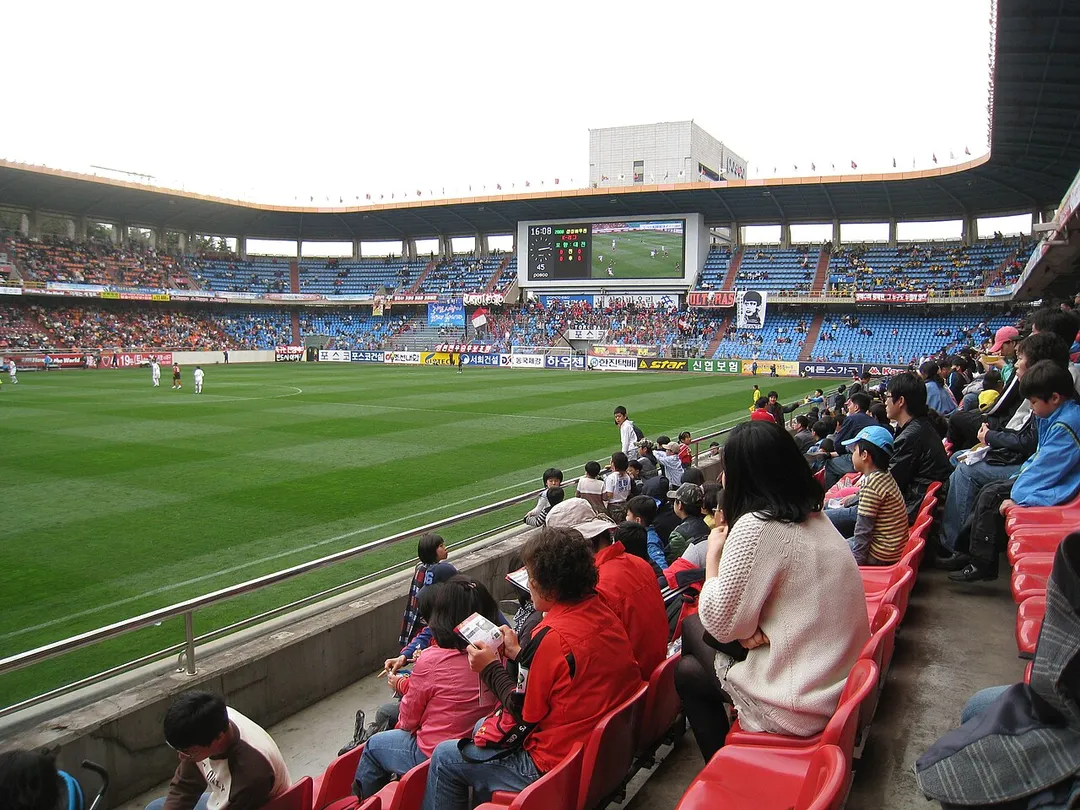
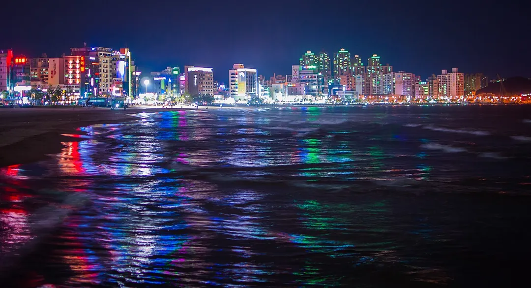
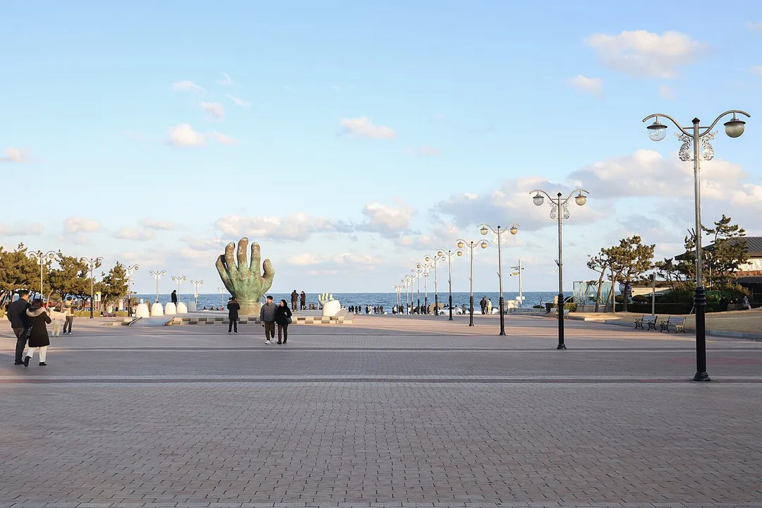
Tourist attractions include the Jukdo Fish Market, where fresh seafood is sold, as well as the Yeongildae Beach, Wolpo Beach, and Pohang Songdo Beach. Naejangsan Mountain divides Pohang and Yeongdeok and has twelve waterfalls.
Compare prices across Booking.com, Airbnb, Expedia, and more. Select your dates to see availability.
Pick your must-haves once: provider links open pre-filtered. Each filter lists which sites it applies to.
Compare before you book!
Prices can vary significantly between platforms. We recommend checking at least 2-3 sites to find the best deal for your stay in Pohang.
Discover famous landmarks, scenic roads, and more near Pohang.
Within an hour or so of Pohang: Gyeongju Tumuli Park (Daereungwon) (25 km), Gyeongju Historic Areas (경주역사유적지구) (25 km), Seokguram Grotto (26 km), Bulguksa Temple (27 km).
Pohang is in Gyeongsangbuk-do, South Korea, about 5 km from Yeonil.
Road trip
Add it as a stop and the planner works out the driving, the nights and what's worth seeing on the way.
Start planningSwipe through places to go
Places within a drive of Pohang. Keep the ones you like and add them to your trip.
Essential numbers in South Korea
Tourist helpline (English): 1330.
Full driving guide for South Korea6 notable places within an hour's drive.
ancient ruins
A vast royal burial ground containing massive grass-covered tomb mounds of Silla Dynasty kings and queens.
25 km · about 30 min drive
ancient ruins
The ancient capital of the Silla Kingdom with royal tombs, Buddhist temples, and the oldest astronomical observatory in Asia.
25 km · about 30 min drive
landmark
A stunning eighth-century Buddhist hermitage grotto housing a monumental seated Buddha overlooking the East Sea.
26 km · about 30 min drive
landmark
A UNESCO masterpiece of ancient Korean Buddhist art and architecture, featuring exquisite stone bridges, pagodas, and golden Buddha statues.
27 km · about 30 min drive
ancient ruins
The ruins of a 7th-century Silla temple with two 13 m triple-storey stone pagodas still standing, built by King Sinmun near the coast where his father's underwater tomb lies offshore.
33 km · about 40 min drive
national park
A compact park of vertical rhyolite spires and narrow gorges in North Gyeongsang, with a walking route threading between cliff walls to a series of waterfalls.
44 km · about 50 min drive
Other places to explore near Pohang.
Your trip starts here
Pick the days, drop in the stops, and share it with whoever's coming.