

natural wonder
Brimham Rocks
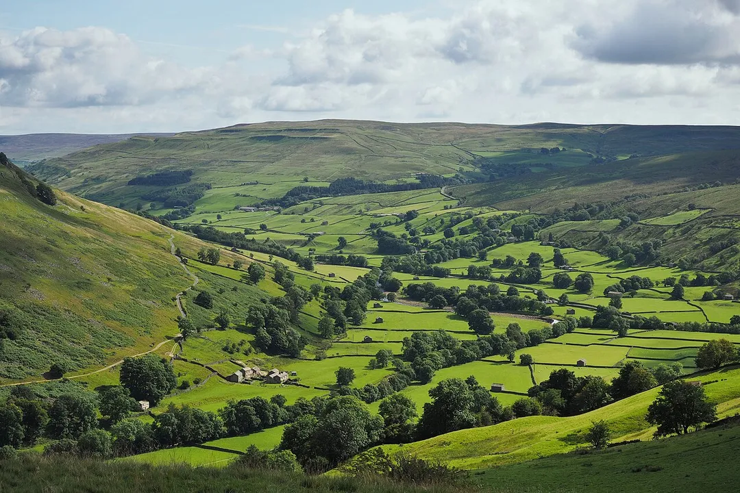
Wind-carved millstone grit outcrops on a Nidderdale moor, a natural playground of balanced boulders.
5 km · about 10 min drive
England, United Kingdom · Europe
Pateley Bridge works well as a base: 30 minutes from Grassington, 5km from Brimham Rocks.
Pateley Bridge is in England, United Kingdom, with about 1,400 people. You drive on the left here. The nearest town is Grassington, about 16 km away.
Pateley Bridge (known locally as Pateley) is a market town in the civil parish of High and Low Bishopside, in Nidderdale, in the county and district of North Yorkshire, England. Historically part of the West Riding of Yorkshire, it lies on the River Nidd. It is in the Yorkshire Dales and just outside the YorkshireRead more
Dales National Park.
The town has the oldest sweet shop in the world. Established in 1827, it is housed in one of the earliest buildings in Pateley Bridge, dating from 1661. Pateley Bridge is also the home of the Nidderdale Museum.
The last Dales agricultural show of the year, the Nidderdale Show, is held annually on the showground by the River Nidd. The show attracts more than 14,000 visitors each year.
The town is within the Nidderdale National Landscape, an Area of Outstanding Natural Beauty. The town was listed in both the 2017 and 2018 Sunday Times reports on Best Places to Live in northern England. The local tourist authority bills it as "the perfect place to start your exploration of the Yorkshire Dales".
Compare prices across Booking.com, Airbnb, Expedia, and more. Select your dates to see availability.
Pick your must-haves once: provider links open pre-filtered. Each filter lists which sites it applies to.
Compare before you book!
Prices can vary significantly between platforms. We recommend checking at least 2-3 sites to find the best deal for your stay in Pateley Bridge.
Discover famous landmarks, scenic roads, and more near Pateley Bridge.
Within an hour or so of Pateley Bridge: Brimham Rocks (5 km), How Stean Gorge (10 km), Fountains Abbey (12 km), The Strid, Bolton Abbey (13 km).
The nearest famous roads are A684 Wensleydale (Sedbergh to Leyburn), B6270 Swaledale and Buttertubs Pass.
Pateley Bridge is in England, United Kingdom, about 16 km from Grassington.
Road trip
Add it as a stop and the planner works out the driving, the nights and what's worth seeing on the way.
Start planningSwipe through places to go
Places within a drive of Pateley Bridge. Keep the ones you like and add them to your trip.
Essential numbers in United Kingdom
112 also works. NHS non-emergency medical advice: 111. National Highways breakdown assistance on motorways: 0300 123 5000.
Full driving guide for United Kingdom8 notable places within an hour's drive.
natural wonder
Wind-carved millstone grit outcrops on a Nidderdale moor, a natural playground of balanced boulders.
5 km · about 10 min drive
natural wonder
A narrow limestone ravine in Nidderdale with walkways above the water, caves and a via ferrata course.
10 km · about 20 min drive
ancient ruins
Largest and best-preserved Cistercian monastery ruins in England, set within the elegant Studley Royal Water Garden UNESCO World Heritage Site.
12 km · about 20 min drive
natural wonder
A narrow chasm where the whole River Wharfe squeezes into a few feet of rock - beautiful and genuinely lethal.
13 km · about 25 min drive
ancient ruins
Romantic 12th-century Augustinian priory ruins on the banks of the River Wharfe, surrounded by 30,000 acres of moorland and woodland.
14 km · about 25 min drive
natural wonder
The valley of the River Wharfe, running from Kettlewell and Grassington down to Bolton Abbey through classic Dales scenery.
16 km · about 30 min drive
landmark
A cobbled Dales village and walking base in Wharfedale, used as the fictional Darrowby in the recent All Creatures Great and Small.
16 km · about 30 min drive
cafe
A motorcycle-friendly cafe nestled in the Yorkshire Dales, perfectly positioned on some of northern England's finest riding roads.
17 km · about 20 min drive
April to October
Other places to explore near Pateley Bridge.
Your trip starts here
Pick the days, drop in the stops, and share it with whoever's coming.