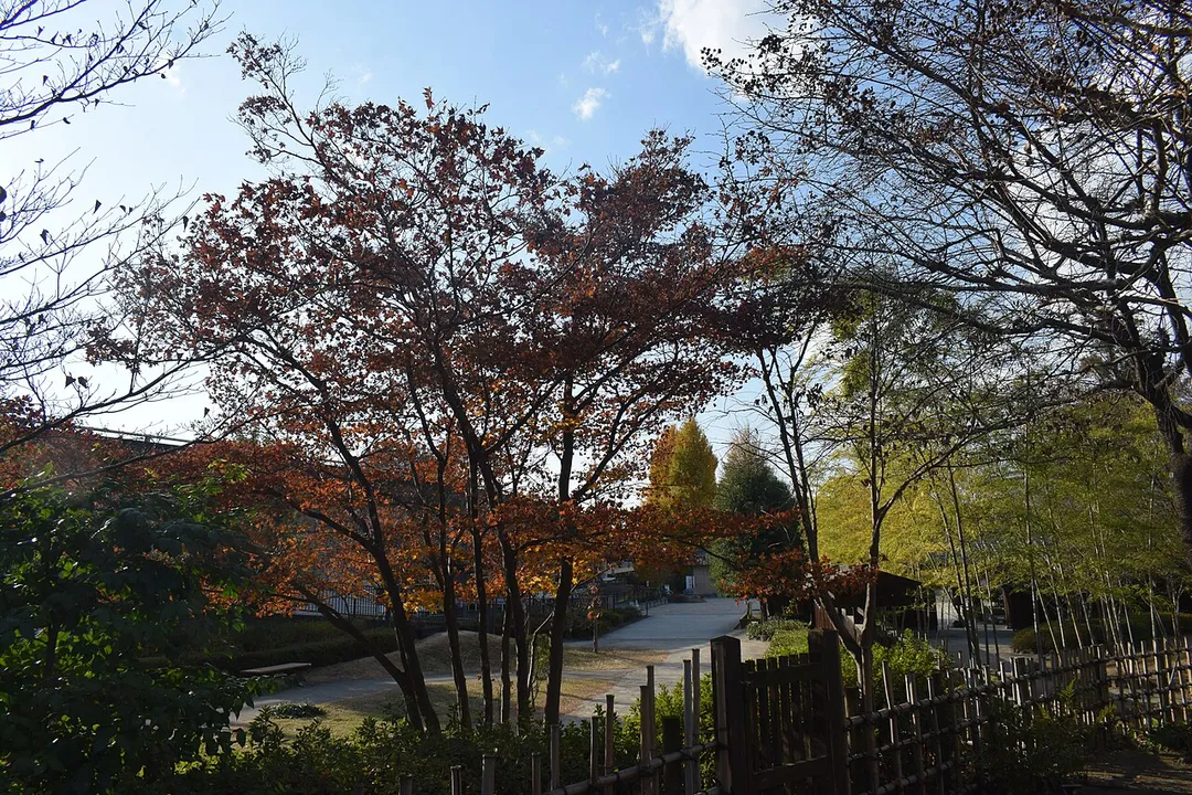
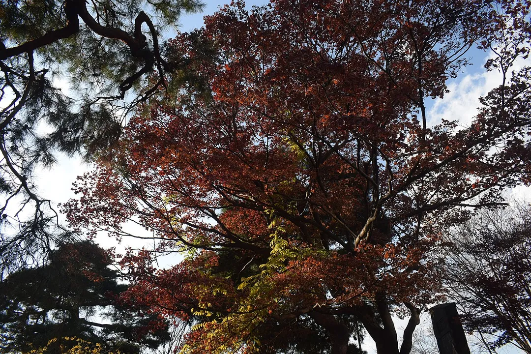
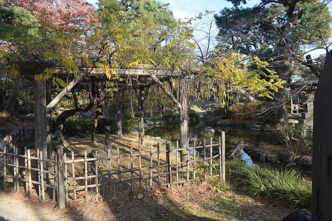
Maebashi is worth a stop: 15 minutes from Kanekomachi, 21km from Mount Haruna Touge.
Maebashi is in Gunma, Japan, with about 330,000 people. You drive on the left here. The nearest town is Kanekomachi, about 8 km away.
Maebashi (前橋市, Maebashi-shi; Japanese pronunciation: [ma.eꜜ.ba.ɕi, maꜜ.e-, ma.e.ba.ɕiꜜ.ɕi], locally [ma.e.ba.ɕi]) is the capital city of Gunma Prefecture, in the northern Kantō region of Japan. As of 31 August 2020, the city had an estimated population of 335,352 in 151,171 households, and a population density of 1100Read more persons per km2. The total area of the city is 311.59 km2 (120.31 sq mi). It was the most populous city within Gunma Prefecture until Takasaki merged with nearby towns between 2006 and 2009. Maebashi is known to be the "City of Water, Greenery and Poets" because of its pure waters, its rich nature and because it gave birth to several Japanese contemporary poets, such as Sakutarō Hagiwara.
The winding climb to Lake Haruna in Gunma, immortalised as 'Mount Akina' in Initial D. Gentle hairpins, a crater lake at the top, and constant pilgrimages by fans of Japan's street-racing manga.
21 km · about 25 min drive
waterfall
Fukiware Falls
A 7 m fall where the Katashina River drops into a fissure worn through flat rock, earning it the name the Niagara of the East. A riverside walkway runs right along the rim.
35 km · about 40 min drive
mountain pass
Usui Pass
Historic pass on the old Nakasendo route between Gunma and Karuizawa, packed with 180-plus corners and the brick Megane-bashi viaduct. Another Initial D battleground beloved by drivers and rail historians alike.
39 km · about 45 min drive
photogenic
Kusatsu Yubatake
The steaming timber sluice at the centre of Kusatsu, where 4,000 litres a minute of highly acidic spring water is cooled across wooden channels before reaching the baths. Floodlit and clouded in steam after dark.
50 km · about 60 min drive
famous road
Irohazaka Winding Road
Twin one-way mountain roads with 48 hairpin bends linking Nikko to Lake Chuzenji, each curve named after a character of the old Japanese alphabet. Spectacular in autumn and legendary among touge drivers.
53 km · about 60 min drive
mountain pass
Shibu Pass
At 2,172 m this is the highest point on any Japanese national highway, on Route 292 between Nagano and Gunma. In spring the road is cut through snow walls several metres high.
57 km · about 65 min drive
Driving roads near Maebashi
21 kmMount Haruna TougeThe winding climb to Lake Haruna in Gunma, immortalised as 'Mount Akina' in Initial D. Gentle hairpins, a crater lake at the top, and constant pilgrimages by fans of Japan's street-racing manga.
39 kmUsui PassHistoric pass on the old Nakasendo route between Gunma and Karuizawa, packed with 180-plus corners and the brick Megane-bashi viaduct. Another Initial D battleground beloved by drivers and rail historians alike.
53 kmIrohazaka Winding RoadTwin one-way mountain roads with 48 hairpin bends linking Nikko to Lake Chuzenji, each curve named after a character of the old Japanese alphabet. Spectacular in autumn and legendary among touge drivers.
57 kmShibu PassAt 2,172 m this is the highest point on any Japanese national highway, on Route 292 between Nagano and Gunma. In spring the road is cut through snow walls several metres high.