waterfall
Fukiware Falls
A 7 m fall where the Katashina River drops into a fissure worn through flat rock, earning it the name the Niagara of the East. A riverside walkway runs right along the rim.
35 km · about 40 min drive
Gunma, Japan · Asia
Kiryū sits on the route: 10 minutes from Ōmamachō-ōmama, 40km from Irohazaka Winding Road.
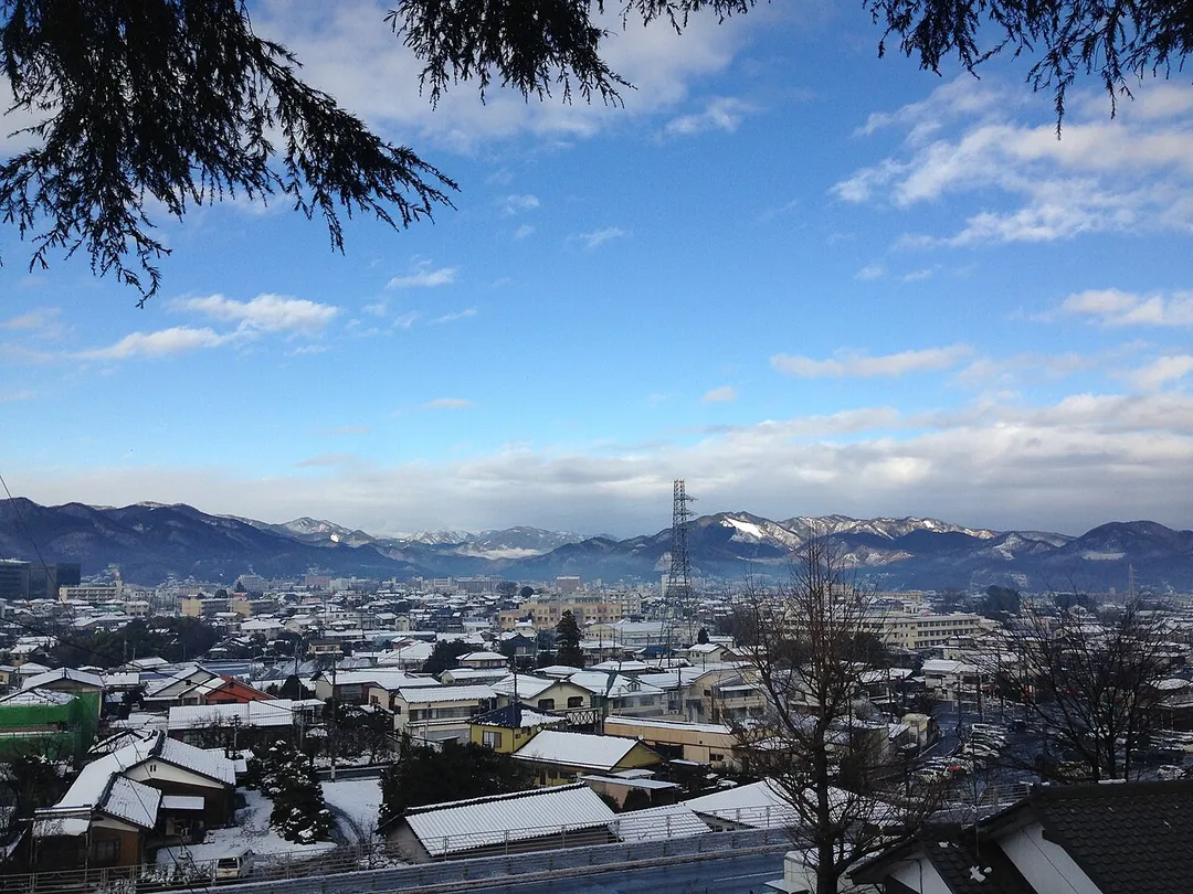
Kiryū is in Gunma, Japan, with about 110,000 people. You drive on the left here. The nearest town is Ōmamachō-ōmama, about 6 km away.
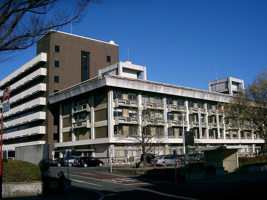
Kiryū Station (桐生駅, Kiryū-eki) is a junction railway station in the city of Kiryū, Gunma, Japan, jointly operated by the East Japan Railway Company (JR East) and the third-sector railway operating company Watarase Keikoku Railway. Kiryu Station is the easternmost JR station in Gunma Prefecture.
Compare prices across Booking.com, Airbnb, Expedia, and more. Select your dates to see availability.
Pick your must-haves once: provider links open pre-filtered. Each filter lists which sites it applies to.
Compare before you book!
Prices can vary significantly between platforms. We recommend checking at least 2-3 sites to find the best deal for your stay in Kiryū.
Discover famous landmarks, scenic roads, and more near Kiryū.
Within an hour or so of Kiryū: Fukiware Falls (35 km), Irohazaka Winding Road (40 km), Mount Haruna Touge (43 km), Nikko Toshogu Shrine (46 km).
The nearest famous roads are Irohazaka Winding Road, Mount Haruna Touge and Usui Pass.
Kiryū is in Gunma, Japan, about 6 km from Ōmamachō-ōmama.
Road trip
Add it as a stop and the planner works out the driving, the nights and what's worth seeing on the way.
Start planningSwipe through places to go
Places within a drive of Kiryū. Keep the ones you like and add them to your trip.
Essential numbers in Japan
Japan Helpline (24h English assistance): 0570-000-911. An International Driving Permit (1949 convention) is required to drive.
Full driving guide for Japan5 notable places within an hour's drive.
waterfall
A 7 m fall where the Katashina River drops into a fissure worn through flat rock, earning it the name the Niagara of the East. A riverside walkway runs right along the rim.
35 km · about 40 min drive
famous road
Twin one-way mountain roads with 48 hairpin bends linking Nikko to Lake Chuzenji, each curve named after a character of the old Japanese alphabet. Spectacular in autumn and legendary among touge drivers.
40 km · about 45 min drive
famous road
The winding climb to Lake Haruna in Gunma, immortalised as 'Mount Akina' in Initial D. Gentle hairpins, a crater lake at the top, and constant pilgrimages by fans of Japan's street-racing manga.
43 km · about 50 min drive
landmark
A lavishly decorated UNESCO shrine complex set among towering cryptomeria trees in the mountains north of Tokyo.
46 km · about 55 min drive
racetrack
Compact 2.045 km Ibaraki track that became the world benchmark for time attack, hosting legendary Hot Version and Best Motoring battles. A sub-minute lap here is the holy grail of tuner culture.
60 km · about 70 min drive
Other places to explore near Kiryū.
Your trip starts here
Pick the days, drop in the stops, and share it with whoever's coming.