PYRTPlan Your Road Trips
Create TripCommunityMerchandise
PYRTPlan Your Road Trips
Create TripCommunityMerchandise
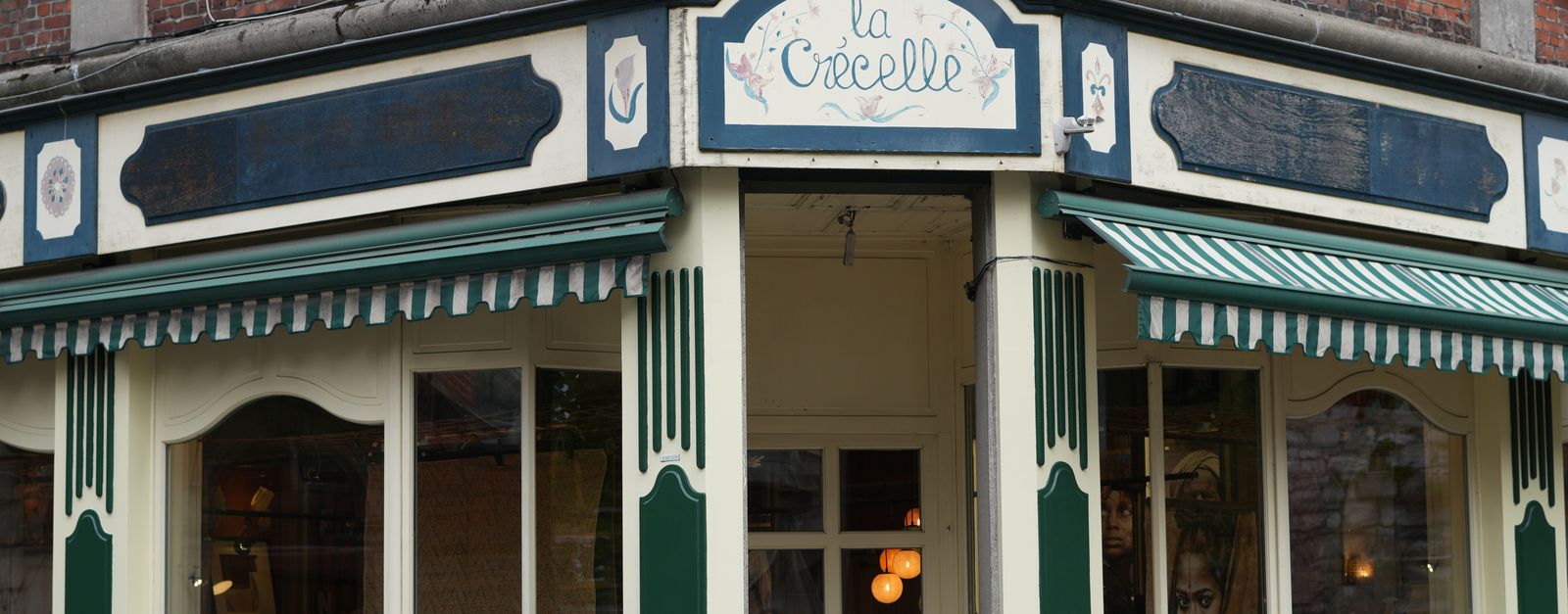
Historic storefront of 'La Crécelle' in Dinant, Belgium.
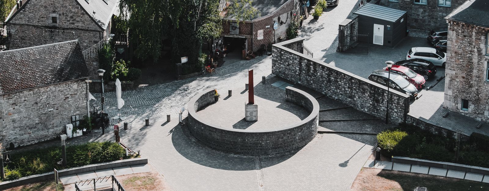
Aerial perspective of cobblestone streets and stone buildings in charming Durbuy, Belgium.
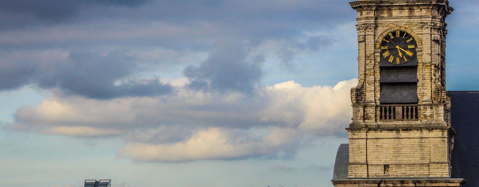
Historic clock tower against urban skyline under cloudy sky. Captivating blend of old and new architecture.
Photo by Diogo Digital Art on Pexels
Destinations
Home›Destinations›La Reid
EuropeBelgiumWallonia

La Reid

Wallonia, Belgium · Europe

About La Reid

La Reid works well as a base: 10 minutes from Theux, 4km from Ninglinspo Valley.

La Reid is in Wallonia, Belgium, with about 2,900 people. You drive on the right here. The nearest town is Theux, about 5 km away.

Where to Stay in La Reid

Compare prices across Booking.com, Airbnb, Expedia, and more. Select your dates to see availability.

Filter presets

Pick your must-haves once: provider links open pre-filtered. Each filter lists which sites it applies to.

Booking.comExpediaTripAdvisorHotels.comAgodaAirbnb

Compare before you book!

Prices can vary significantly between platforms. We recommend checking at least 2-3 sites to find the best deal for your stay in La Reid.

Explore the Area

Discover famous landmarks, scenic roads, and more near La Reid.

Loading map...
Open in Google Maps

Frequently Asked Questions

What is there to see near La Reid?

Within an hour or so of La Reid: Ninglinspo Valley (4 km), Circuit de Spa-Francorchamps (14 km), Stavelot Abbey (14 km), Gileppe Dam (17 km).

Are there any good drives near La Reid?

The nearest famous roads are Baraque de Fraiture, Moselle Valley Road (B53) and Route du Vin.

Where is La Reid?

La Reid is in Wallonia, Belgium, about 5 km from Theux.

Road trip

Drive to La Reid

Add it as a stop and the planner works out the driving, the nights and what's worth seeing on the way.

Start planning

What's nearby?

Swipe through places to go

Places within a drive of La Reid. Keep the ones you like and add them to your trip.

Explore now

Quick Information

Population
2,874
Continent
Europe
Country
Belgium
Region
Wallonia
Timezone
Europe/Brussels
Coordinates
50.4891, 5.7910

Emergency & Services

Essential numbers in Belgium

Police
101
Ambulance
112
Fire
112
All emergencies
112
Driving side
right
Full driving guide for Belgium

Tags

EuropeBelgiumWalloniaTown

Worth the detour from La Reid

8 notable places within an hour's drive.

natural wonder

Ninglinspo Valley

Belgium's only true mountain stream, tumbling through the Aywaille woods in a chain of red-rock cascades and natural bathing pools with names like 'Bain de Diane'; the trail starts directly at the Sedoz roadside parking.

4 km · about 5 min drive

racetrack

Circuit de Spa-Francorchamps

Home of the Belgian Grand Prix, featuring the legendary Eau Rouge corner

14 km · about 25 min drive

museum

Stavelot Abbey

A 1,000-year-old abbey minutes from Spa-Francorchamps housing the circuit's official racing museum, with historic F1 and endurance cars in its vaulted cellars.

14 km · about 25 min drive

scenic viewpoint

Gileppe Dam

A 19th-century dam near Spa crowned by a 13-ton stone lion, with a 78 m panorama tower and forested Ardennes reservoir views a short detour off the Verviers road.

17 km · about 20 min drive

national park

Hautes Fagnes

Belgium's highest, wildest plateau of peat bog and boardwalk trails, often the snowiest corner of the country.

21 km · about 25 min drive

scenic viewpoint

Signal de Botrange

At 694m this is the highest point in Belgium, marked by a stone tower on the Hautes Fagnes plateau.

21 km · about 25 min drive

mountain pass

Baraque de Fraiture

Belgium's second-highest point at 652 m, a windswept Ardennes plateau crossroads on the N89 with a small ski station and sweeping high-fen scenery.

27 km · about 30 min drive

landmark

Durbuy

Billed as the smallest town in the world, a cluster of grey-stone houses and a castle in a green Ardennes valley.

28 km · about 30 min drive

Driving roads near La Reid

5 named roads, passes and coastal drives within 150km.

  • 17 kmGileppe DamA 19th-century dam near Spa crowned by a 13-ton stone lion, with a 78 m panorama tower and forested Ardennes reservoir views a short detour off the Verviers road.
  • 21 kmSignal de BotrangeAt 694m this is the highest point in Belgium, marked by a stone tower on the Hautes Fagnes plateau.
  • 27 kmBaraque de FraitureBelgium's second-highest point at 652 m, a windswept Ardennes plateau crossroads on the N89 with a small ski station and sweeping high-fen scenery.
  • 34 kmVaalserberg DrielandenpuntThe Netherlands' highest mainland point at 322.4 metres, where the Dutch, Belgian and German borders meet near Vaals.
Driving in Belgium

Drives on
the right
Petrol
~€1.74/litre
Motorway tolls
None

When to drive here

April to October

Nearby Destinations

Other places to explore near La Reid.

Theux

🇧🇪 Belgium

5 km awayPop. 11,587

Spa

🇧🇪 Belgium

5 km awayPop. 10,756

Aywaille

🇧🇪 Belgium

8 km awayPop. 10,636

Pepinster

🇧🇪 Belgium

9 km awayPop. 9,530

Sprimont

🇧🇪 Belgium

10 km awayPop. 12,945

Harzé

🇧🇪 Belgium

10 km awayPop. 2,030

Trooz

🇧🇪 Belgium

11 km awayPop. 7,559

Verviers

🇧🇪 Belgium

12 km awayPop. 52,824

Plan a trip around La Reid

Europe road trip planner

Your trip starts here

Plan a road trip from La Reid.

Pick the days, drop in the stops, and share it with whoever's coming.

Start planning
PYRT

The ultimate road trip planning platform. Discover 150,000+ destinations worldwide, plan scenic routes, and create unforgettable adventures.

Inspiration

  • Discover Trips
  • Travel Guides
  • Community

The Product

  • Calendar Planner
  • Integrations
  • How It Works
  • Collaboration Mode
  • Get the App
  • Merchandise: PYRT Supply Co.
  • Become a Creator
  • Trip Marketplace

Plan Your Trip

  • Road Trip Planner
  • Famous Routes
  • Drive Times & Distances
  • Planners by Country
  • Best Road Trip Planner App
  • Discover Road Trips
  • Events
  • Travel Guides
  • How It Works
  • My Trips
  • Community Groups

Company

  • Terms of Service
  • Privacy Policy
  • About PYRT
  • Support
  • Contact Us
  • Sign In
  • Create Account

© 2026 Plan Your Road Trips. All rights reserved.

•[email protected]
Data sources:GeoNames (CC BY 4.0)•Wikimedia Commons (CC BY-SA)•Mapbox•Photography: George Lawrence