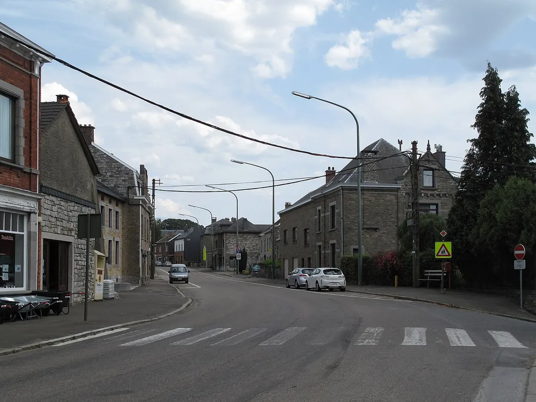
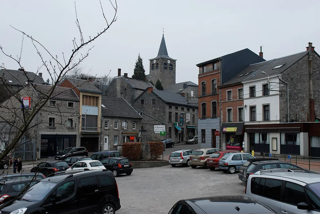
Sprimont works well as a base: 5 minutes from Dolembreux, 8km from Ninglinspo Valley.
Sprimont is in Wallonia, Belgium, with about 13,000 people. You drive on the right here. The nearest town is Dolembreux, about 4 km away.
Sprimont (French pronunciation: [spʁimɔ̃]; Walloon: Sprumont) is a municipality of Wallonia located in the province of Liège, Belgium.
The municipality consists of the following districts: Dolembreux, Gomzé-Andoumont, Louveigné, Rouvreux, and Sprimont.
Other villages: Banneux, Damré, Florzé, Lincé, Ogné, Presseux,Read more and Rivage.
On January 1, 2006, Sprimont had a total population of 12,782. The total area is 74.2 square kilometres (28.6 sq mi) which gives a population density of 172 inhabitants/km2 (450 inhabitants/sq mi).
Belgium's only true mountain stream, tumbling through the Aywaille woods in a chain of red-rock cascades and natural bathing pools with names like 'Bain de Diane'; the trail starts directly at the Sedoz roadside parking.
8 km · about 15 min drive
racetrack
Circuit de Spa-Francorchamps
Home of the Belgian Grand Prix, featuring the legendary Eau Rouge corner
23 km · about 25 min drive
landmark
Durbuy
Billed as the smallest town in the world, a cluster of grey-stone houses and a castle in a green Ardennes valley.
23 km · about 25 min drive
museum
Stavelot Abbey
A 1,000-year-old abbey minutes from Spa-Francorchamps housing the circuit's official racing museum, with historic F1 and endurance cars in its vaulted cellars.
23 km · about 25 min drive
scenic viewpoint
Gileppe Dam
A 19th-century dam near Spa crowned by a 13-ton stone lion, with a 78 m panorama tower and forested Ardennes reservoir views a short detour off the Verviers road.
23 km · about 25 min drive
mountain pass
Baraque de Fraiture
Belgium's second-highest point at 652 m, a windswept Ardennes plateau crossroads on the N89 with a small ski station and sweeping high-fen scenery.
29 km · about 35 min drive
national park
Hautes Fagnes
Belgium's highest, wildest plateau of peat bog and boardwalk trails, often the snowiest corner of the country.
30 km · about 35 min drive
scenic viewpoint
Signal de Botrange
At 694m this is the highest point in Belgium, marked by a stone tower on the Hautes Fagnes plateau.
31 km · about 35 min drive
Driving roads near Sprimont
5 named roads, passes and coastal drives within 150km.
23 kmGileppe DamA 19th-century dam near Spa crowned by a 13-ton stone lion, with a 78 m panorama tower and forested Ardennes reservoir views a short detour off the Verviers road.
29 kmBaraque de FraitureBelgium's second-highest point at 652 m, a windswept Ardennes plateau crossroads on the N89 with a small ski station and sweeping high-fen scenery.
31 kmSignal de BotrangeAt 694m this is the highest point in Belgium, marked by a stone tower on the Hautes Fagnes plateau.
37 kmVaalserberg DrielandenpuntThe Netherlands' highest mainland point at 322.4 metres, where the Dutch, Belgian and German borders meet near Vaals.