Banská Bystrica is worth a stop: 5 minutes from Nemce, 43km from Demänovská Ice Cave.
Banská Bystrica is in Banská Bystrica Region, Slovakia, with about 75,000 people. You drive on the right here. The nearest town is Nemce, about 4 km away.
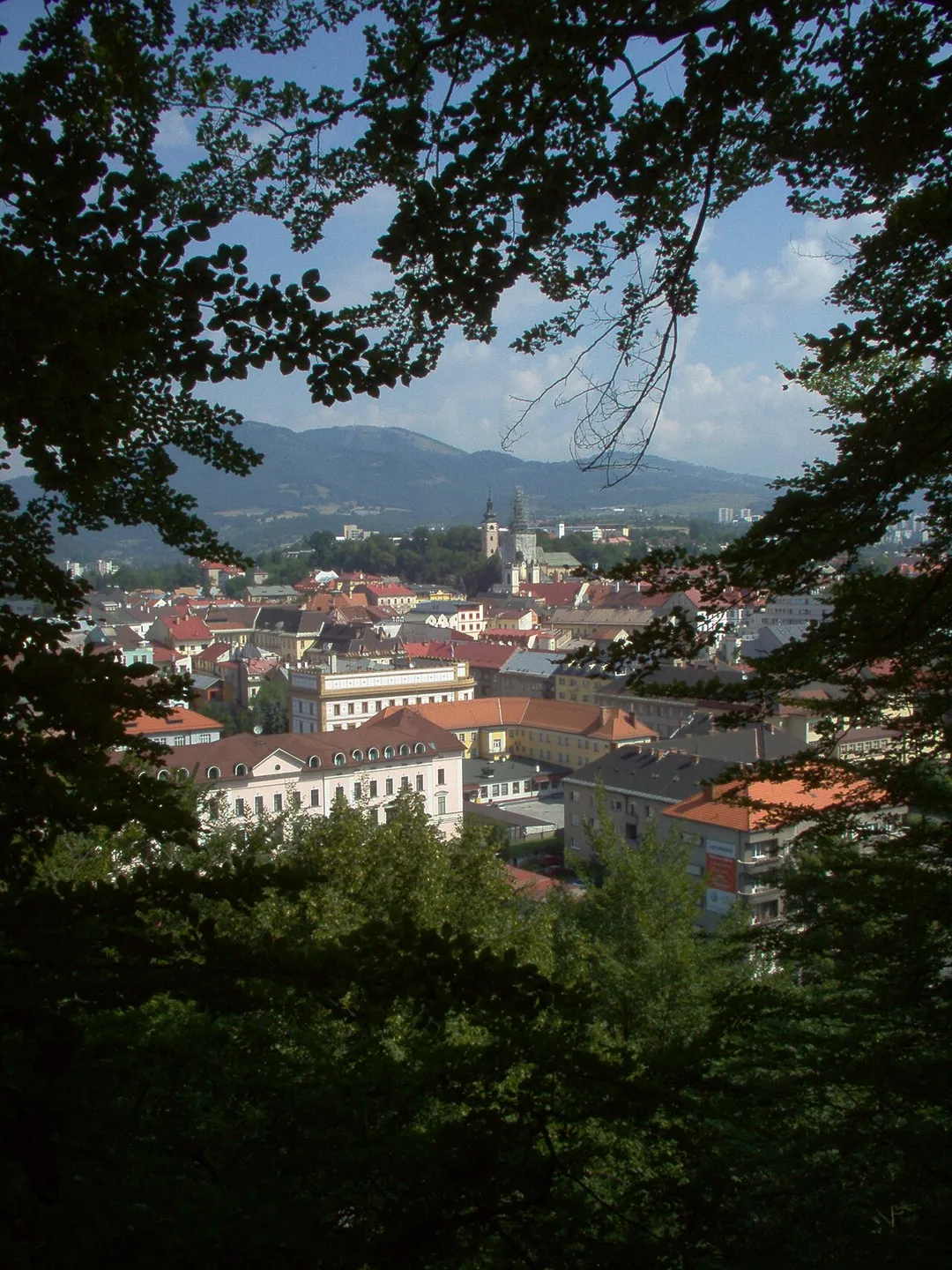
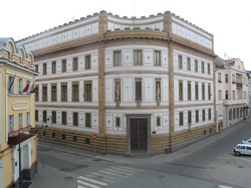
Banská Bystrica (Slovak pronunciation: [ˈbanskaː ˈbistritsa] , Hungarian: Besztercebánya, German: Neusohl) is a city in central Slovakia, located on the Hron River in a long and wide valley encircled by the mountain chains of the Low Tatras, the Veľká Fatra, and the Kremnica Mountains. With approximately 76,000Read more inhabitants, Banská Bystrica is the sixth most populous municipality in Slovakia. The present-day town was founded by German settlers who were invited by the Hungarian Árpád kings during the Middle Ages (as part of the Ostsiedlung), but it was built upon a former Slavic/Slovak/Avar settlement. It became a part of Zólyom County after Hungarian conquest. In 1255, during the reign of Béla IV of Hungary, it obtained the municipal privileges of a free royal town of the Kingdom of Hungary and was resettled by Germans from Thüringen. The copper mining town acquired its present picturesque look in the late Middle Ages when the prosperous burghers built its central churches, mansions, and fortifications. It is the capital of the kraj (more specifically Banská Bystrica Region) and the okres (Banská Bystrica District). It is also the home of Matej Bel University. As a historical town with easy access to the surrounding mountains, Banská Bystrica is a popular winter and summer tourist destination.
A steep copper-mining village at 728 m above Banská Bystrica, mined since the Bronze Age, its miners' houses stacked around a square with a 162-step covered wooden staircase climbing to the 13th-century church.
8 km · about 15 min drive
mountain pass
Donovaly Pass
A 960 m mountain resort saddle on Route 59 between Banska Bystrica and Ruzomberok, threading between the Low Tatras and Great Fatra with a flowing climb popular among Slovak drivers.
17 km · about 20 min drive
landmark
Vlkolínec
A remarkably well-preserved UNESCO village of traditional log houses representing a complete example of a medieval central European settlement.
35 km · about 40 min drive
landmark
Banská Štiavnica
A UNESCO-listed historic mining town with Renaissance palaces, open-air mining museums, and scenic artificial lakes called tajchy.
36 km · about 40 min drive
castle
Bojnice Castle
A romantic neo-Gothic chateau of fairytale spires above a spa town, Slovakia's most-visited castle.
42 km · about 50 min drive
natural wonder
Demänovská Ice Cave
A spectacular cave system in the Low Tatras featuring permanent ice formations, frozen waterfalls, and underground lakes.
43 km · about 50 min drive
natural wonder
Demanovska Cave of Liberty
Show cave in the Low Tatras with flowstone formations and an underground river, on the Demanovska Dolina valley road south of Liptovsky Mikulas.
43 km · about 50 min drive
mountain pass
Certovica Pass
The 'Devil's Pass' carries Route 72 over the spine of the Low Tatras at 1,238 m: the highest paved road pass in Slovakia, with hairpin descents on both flanks and big ridge-top views.
47 km · about 55 min drive
Driving roads near Banská Bystrica
4 named roads, passes and coastal drives within 100km.
17 kmDonovaly PassA 960 m mountain resort saddle on Route 59 between Banska Bystrica and Ruzomberok, threading between the Low Tatras and Great Fatra with a flowing climb popular among Slovak drivers.
47 kmCertovica PassThe 'Devil's Pass' carries Route 72 over the spine of the Low Tatras at 1,238 m: the highest paved road pass in Slovakia, with hairpin descents on both flanks and big ridge-top views.