scenic viewpoint
Gornergrat
A 3,089-metre viewpoint above Zermatt reached by Europe's highest open-air cogwheel railway, with 29 peaks over 4,000 metres in view.
5 km · about 10 min drive
Valais, Switzerland · Europe
Zermatt works well as a base: 20 minutes from Saas-Fee, 34km from Simplon Pass.
Zermatt is in Valais, Switzerland, with about 6,600 people. You drive on the right here. The nearest town is Saas-Fee, about 17 km away.
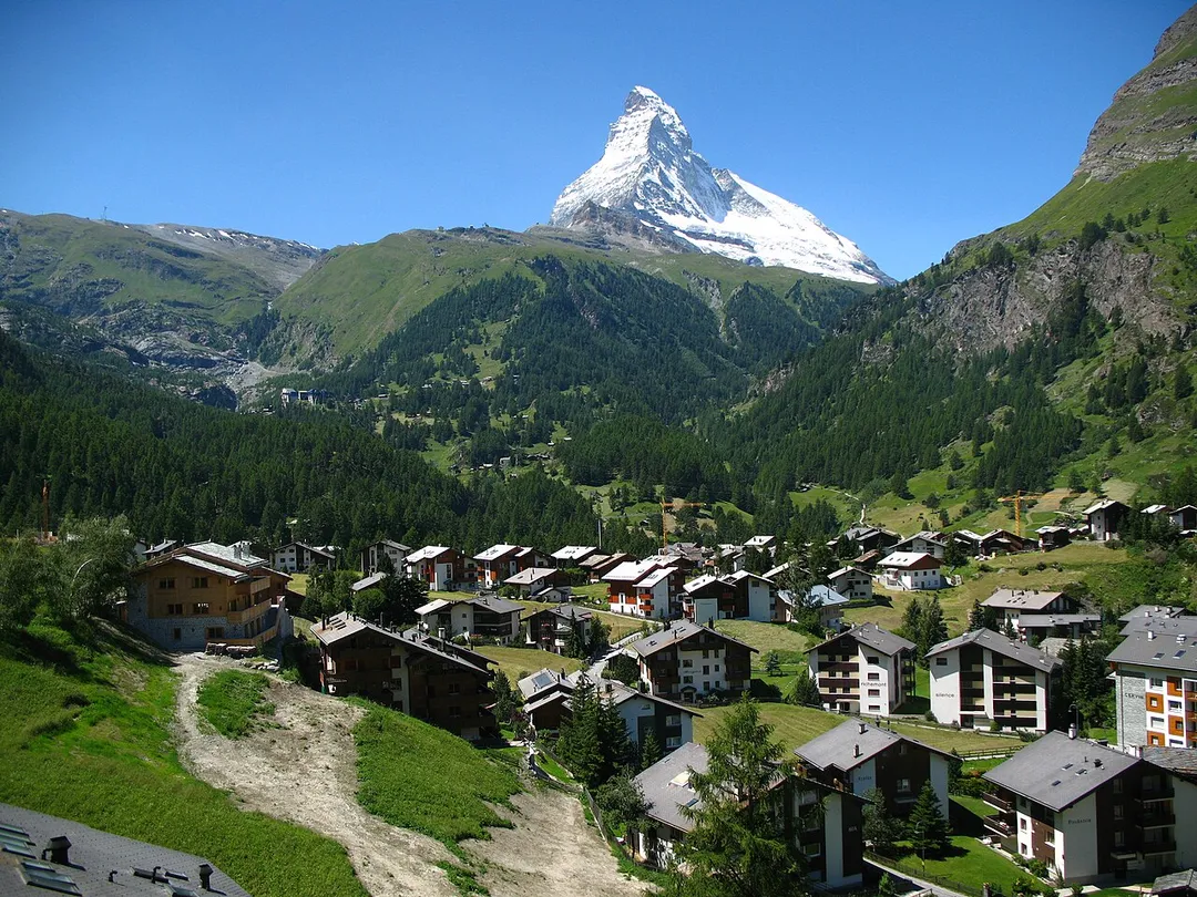
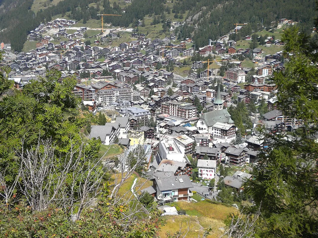
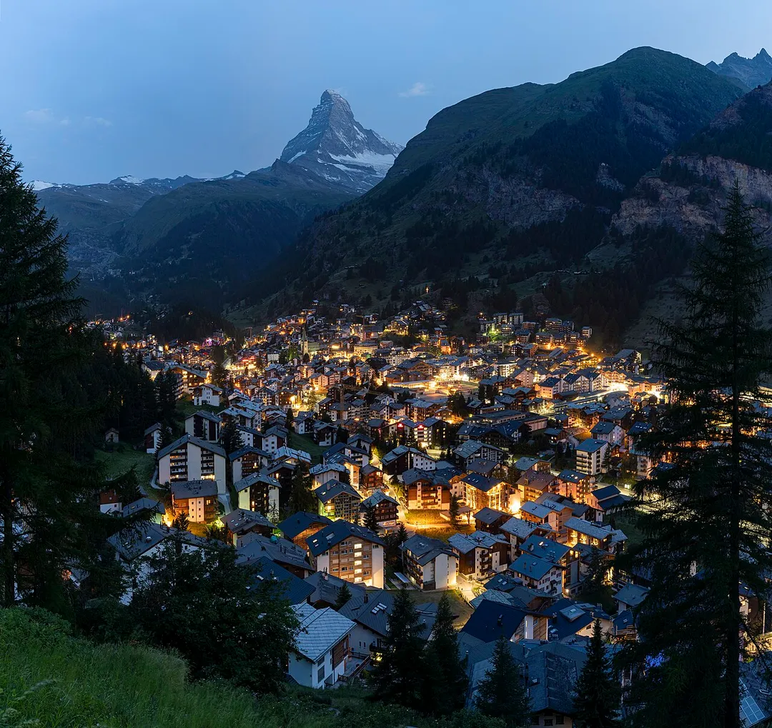
Zermatt (German: [tsɛʁˈmat] , Swiss Standard German: [tsɛrˈmat]; Highest Alemannic: Zärmatt) is a municipality in the district of Visp in the German-speaking section of the canton of Valais in Switzerland. It has a year-round population of about 5,800 and is classified as a town by the Swiss Federal Statistical OfficeRead more
(FSO).
It lies at the upper end of Mattertal at an elevation of 1,620 m (5,310 ft), at the foot of Switzerland's highest peaks. It lies about 10 km (6.2 mi) from the over 3,292 m (10,801 ft) high Theodul Pass bordering Italy. Zermatt is the southernmost commune of the German Sprachraum.
Zermatt is famed as a mountaineering and ski resort of the Swiss Alps. Until the mid-19th century, it was predominantly an agricultural community; the first and tragic ascent of the Matterhorn in 1865 was followed by a rush on the mountains surrounding the village, leading to the construction of many tourist facilities. The year-round population (as of December 2020) is 5,820, though there may be several times as many tourists in Zermatt at any one time. Much of the local economy is based on tourism, with about half of the jobs in town in hotels or restaurants and just under half of all apartments are vacation apartments. Just over one-third of the permanent population was born in the town, while another third moved to Zermatt from outside Switzerland.
Compare prices across Booking.com, Airbnb, Expedia, and more. Select your dates to see availability.
Pick your must-haves once: provider links open pre-filtered. Each filter lists which sites it applies to.
Compare before you book!
Prices can vary significantly between platforms. We recommend checking at least 2-3 sites to find the best deal for your stay in Zermatt.
Discover famous landmarks, scenic roads, and more near Zermatt.
Within an hour or so of Zermatt: Gornergrat (5 km), Matterhorn (8 km), Grimentz (22 km), Grande Dixence Dam (27 km).
The nearest famous roads are Simplon Pass, Great St Bernard Pass and Sanetsch Pass.
Zermatt is in Valais, Switzerland, about 17 km from Saas-Fee.
Road trip
Add it as a stop and the planner works out the driving, the nights and what's worth seeing on the way.
Start planningSwipe through places to go
Places within a drive of Zermatt. Keep the ones you like and add them to your trip.
Essential numbers in Switzerland
Motorway vignette (toll sticker) required: buy at the border or online. Roadside assistance (TCS): 140.
Full driving guide for Switzerland8 notable places within an hour's drive.
scenic viewpoint
A 3,089-metre viewpoint above Zermatt reached by Europe's highest open-air cogwheel railway, with 29 peaks over 4,000 metres in view.
5 km · about 10 min drive
landmark
Iconic pyramid-shaped peak rising to 4,478 metres on the Swiss-Italian border, one of the most recognizable mountains in the world.
8 km · about 15 min drive
landmark
Val d'Anniviers village at 1,620 m where sun-blackened larch chalets, some from the 15th century, sag under prize-winning geranium displays; the road continues up to the glacier lake of Moiry.
22 km · about 25 min drive
landmark
At 285 m the world's tallest gravity dam seals the Val d'Hérémence with more concrete than the Great Pyramid; a cable car rides to the crest, with guided gallery tours and a zip line across the wall.
27 km · about 30 min drive
famous road
A historic Alpine crossing at 2,005 meters built by Napoleon, connecting Switzerland's Valais to Italy's Piedmont.
34 km · about 40 min drive
mountain pass
At 2,469 m, this ancient pass between Switzerland and Italy shelters the hospice that bred St Bernard rescue dogs; travellers have crossed here since Roman times, Napoleon among them.
48 km · about 55 min drive
famous road
The historic 2,469m pass between Switzerland and Italy with its hospice and dogs; the old road runs beside the modern tunnel.
48 km · about 55 min drive
mountain pass
A spectacular dead-end climb from the Rhône vineyards above Sion past the Tsanfleuron glacier to 2,242 m; because no through road exists it stays near-empty, and only a cable car continues to Gsteig.
50 km · about 55 min drive
April to October
Other places to explore near Zermatt.
Your trip starts here
Pick the days, drop in the stops, and share it with whoever's coming.