PYRTPlan Your Road Trips
Create TripCommunityMerchandise
PYRTPlan Your Road Trips
Create TripCommunityMerchandise
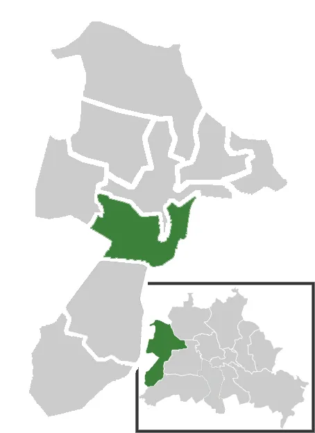
Lage des Ortsteil Wilhelmstadt im Berliner Bezirk Spandau
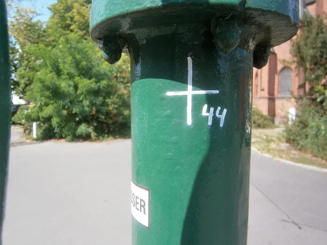
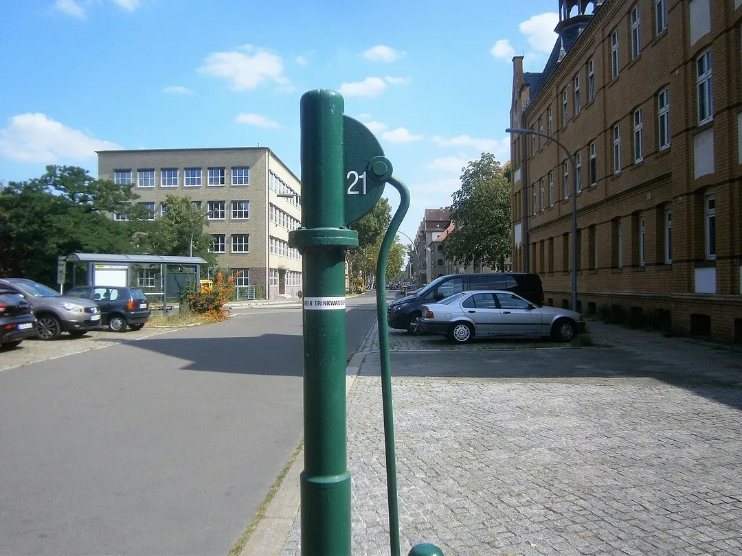
Auf dem gelisteten Grundstück Adamstraße 24 (Drucksache zur Anfrage 17-15418) steht das Gebäude der Paul-Mohr-Schule[1] und das Grundstück liegt östlich vom Melanchthonplatz.[2] Der Schulbau entstand 1930. Für eine Umsetzung des Brunnens gibt es keine Anzeichen. Der Standort des Brunnens liegt am Norden des Melachthonplatzes am Gehwegrand des Parkplatzes der die Adamstraße verlängert. Der Bogen in der  Straßenführung erfolgte in den 1960er Jahren, zuvor verlief die Adamstraße im Süden der Melanchthonkirche gerade und die Melanchthonstraße kreuzte rechtwinkling mit dem Verlauf auf dem Westen des Schulgeländes. Die direkte Führung über die Wilhelmstraße zur Schmidt-Knobelsdorf-Straße erfolgte unter Nutzung der Kolonie Diederich. Dadurch wurde der Melchthonplatz mit dem Kirchenbau neu gefasst. Gegenüber der Kirche auf der Brunnenseite steht ein Seniorenwohnhaus[3] Der Brunnenstandort entspricht dem Rand des südlichen Gehwegs. Deer Austritt ist an einer langen Hülse verschraubt und der Abfluss gelangt auf die Gehwegplatten zwischen Parkfläche und Ausfahrt vom Heim. Der FSH-Brunnen steht mindestens seit Beginn der 2000er Jahre.
Photo by Christian Liebscher (Platte)
Destinations
Home›Destinations›Wilhelmstadt
EuropeGermanyState of Berlin

Wilhelmstadt

State of Berlin, Germany · Europe

About Wilhelmstadt

Wilhelmstadt works well as a base: 5 minutes from Haselhorst, 6km from AVUS.

Wilhelmstadt is in State of Berlin, Germany, with about 40,000 people. You drive on the right here. The nearest town is Haselhorst, about 4 km away.

Wilhelmstadt (German pronunciation: [ˈvɪlhɛlmsˌʃtat] ) is a German locality (Ortsteil) of Berlin in the borough (Bezirk) of Spandau.

Read more on Wikipedia

Where to Stay in Wilhelmstadt

Compare prices across Booking.com, Airbnb, Expedia, and more. Select your dates to see availability.

Filter presets

Pick your must-haves once: provider links open pre-filtered. Each filter lists which sites it applies to.

Booking.comExpediaTripAdvisorHotels.comAgodaAirbnb

Compare before you book!

Prices can vary significantly between platforms. We recommend checking at least 2-3 sites to find the best deal for your stay in Wilhelmstadt.

Explore the Area

Discover famous landmarks, scenic roads, and more near Wilhelmstadt.

Loading map...
Open in Google Maps

Frequently Asked Questions

What is there to see near Wilhelmstadt?

Within an hour or so of Wilhelmstadt: AVUS (6 km), Classic Remise Berlin (9 km), Berlin Zoological Garden (10 km), German Spy Museum Berlin (13 km).

Are there any good drives near Wilhelmstadt?

The nearest famous roads are AVUS.

Where is Wilhelmstadt?

Wilhelmstadt is in State of Berlin, Germany, about 4 km from Haselhorst.

Road trip

Drive to Wilhelmstadt

Add it as a stop and the planner works out the driving, the nights and what's worth seeing on the way.

Start planning

What's nearby?

Swipe through places to go

Places within a drive of Wilhelmstadt. Keep the ones you like and add them to your trip.

Explore now

Quick Information

Population
40,463
Continent
Europe
Country
Germany
Region
State of Berlin
Timezone
Europe/Berlin
Coordinates
52.5238, 13.1892

Emergency & Services

Essential numbers in Germany

Police
110
Ambulance
112
Fire
112
All emergencies
112
Driving side
right

ADAC roadside assistance: +49 89 22 22 22. No general speed limit on some autobahn sections but advisory 130 km/h.

Full driving guide for Germany

Tags

EuropeGermanyState of BerlinTown

Worth the detour from Wilhelmstadt

8 notable places within an hour's drive.

66 US ROUTE

historic highway

AVUS

The world's first limited-access motor road (1921), a Berlin autobahn stretch that doubled as a terrifyingly fast race circuit with a 43-degree brick banking until 1998.

6 km · about 10 min drive

landmark

Classic Remise Berlin

A stunning classic car centre in a former tram depot housing specialist dealers, workshops, and a permanent exhibition of automotive art.

9 km · about 15 min drive

landmark

Berlin Zoological Garden

Germany's oldest zoo and one of the most species-rich in the world, located in the heart of Berlin.

10 km · about 20 min drive

museum

German Spy Museum Berlin

An interactive museum exploring the world of espionage from ancient times through the Cold War to modern cyber surveillance.

13 km · about 25 min drive

landmark

Reichstag Building

Historic seat of the German parliament topped with Norman Foster's striking modern glass dome offering panoramic city views.

13 km · about 25 min drive

landmark

Deutsches Technikmuseum Berlin

Berlin's sprawling technology museum with outstanding automotive and motorcycle collections alongside aviation and rail exhibits.

13 km · about 25 min drive

landmark

Brandenburg Gate

18th-century neoclassical triumphal arch that became the symbol of German reunification after the fall of the Berlin Wall.

13 km · about 25 min drive

landmark

Checkpoint Charlie

The most famous Cold War crossing point between East and West Berlin, now a museum and memorial site.

14 km · about 25 min drive

Driving roads near Wilhelmstadt

  • Right hereAVUSThe world's first limited-access motor road (1921), a Berlin autobahn stretch that doubled as a terrifyingly fast race circuit with a 43-degree brick banking until 1998.

Driving in Germany

Drives on
the right
Petrol
~€1.78/litre
Motorway tolls
None

When to drive here

April to October

Nearby Destinations

Other places to explore near Wilhelmstadt.

Staaken

🇩🇪 Germany

3 km awayPop. 46,369

Spandau

🇩🇪 Germany

3 km awayPop. 39,653

Falkenhagener Feld

🇩🇪 Germany

3 km awayPop. 38,667

Hakenfelde

🇩🇪 Germany

4 km awayPop. 31,327

Westend

🇩🇪 Germany

6 km awayPop. 41,328

Charlottenburg

🇩🇪 Germany

6 km awayPop. 129,359

Grunewald

🇩🇪 Germany

7 km awayPop. 11,631

Charlottenburg-Nord

🇩🇪 Germany

7 km awayPop. 19,422

Plan a trip around Wilhelmstadt

Germany road trip planner

Your trip starts here

Plan a road trip from Wilhelmstadt.

Pick the days, drop in the stops, and share it with whoever's coming.

Start planning
PYRT

The ultimate road trip planning platform. Discover 150,000+ destinations worldwide, plan scenic routes, and create unforgettable adventures.

Inspiration

  • Discover Trips
  • Travel Guides
  • Community

The Product

  • Calendar Planner
  • Integrations
  • How It Works
  • Collaboration Mode
  • Get the App
  • Merchandise: PYRT Supply Co.
  • Become a Creator
  • Trip Marketplace

Plan Your Trip

  • Road Trip Planner
  • Famous Routes
  • Drive Times & Distances
  • Planners by Country
  • Best Road Trip Planner App
  • Discover Road Trips
  • Events
  • Travel Guides
  • How It Works
  • My Trips
  • Community Groups

Company

  • Terms of Service
  • Privacy Policy
  • About PYRT
  • Support
  • Contact Us
  • Sign In
  • Create Account

© 2026 Plan Your Road Trips. All rights reserved.

•[email protected]
Data sources:GeoNames (CC BY 4.0)•Wikimedia Commons (CC BY-SA)•Mapbox•Photography: George Lawrence