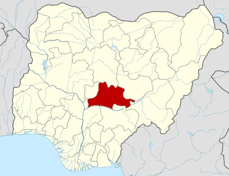

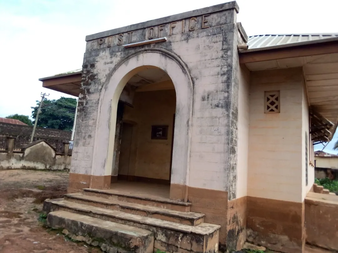
AfricaNigeriaNasarawa State
Wamba
Nasarawa State, Nigeria · Africa
About Wamba
Wamba sits on the route: 25 minutes from Akwanga.
Wamba is in Nasarawa State, Nigeria, with about 27,000 people. The nearest town is Akwanga, about 22 km away.
Wamba is a town and one of the 13 local government areas in Nasarawa State, North-central Nigeria.
It has an estimated land area of 1,156 km2 (446 sq mi) and a population of about 72,894 based on the 2006 census estimates.
Wamba local government is an agrarian sub-state, it is known for casava, pidgeon pea, palmRead more
carnel and oil, productions respectively.
Wamba also has minerals deposit like lead, barite, tantalite, columbite, and gems such as Aquamarine and gold. Yet to be exploited officially.
Wamba is both heteroethnic heteroreligious, Among the nation's that make up the area are:
Arum, Atoro, Buh, Kantana, Kulere, Ninzom, Ninkada, Reindeer, and Yashi.
Where to Stay in Wamba
Compare prices across Booking.com, Airbnb, Expedia, and more. Select your dates to see availability.
Filter presets
Pick your must-haves once: provider links open pre-filtered. Each filter lists which sites it applies to.
Compare before you book!
Prices can vary significantly between platforms. We recommend checking at least 2-3 sites to find the best deal for your stay in Wamba.
Explore the Area
Discover famous landmarks, scenic roads, and more near Wamba.
Loading map...
Frequently Asked Questions
Where is Wamba?
Wamba is in Nasarawa State, Nigeria, about 22 km from Akwanga.
Road trip
Drive to Wamba
Add it as a stop and the planner works out the driving, the nights and what's worth seeing on the way.
Start planningWhat's nearby?
Swipe through places to go
Places within a drive of Wamba. Keep the ones you like and add them to your trip.
Explore now
Quick Information
- Population
- 27,137
- Continent
- Africa
- Country
- Nigeria
- Region
- Nasarawa State
- Timezone
- Africa/Lagos
- Coordinates
- 8.9415, 8.6031
Tags
When to drive here
Year-round
Tropical latitude: plan around the wet season rather than temperature.
Nearby Destinations
Other places to explore near Wamba.
Your trip starts here
Plan a road trip from Wamba.
Pick the days, drop in the stops, and share it with whoever's coming.