PYRTPlan Your Road Trips
Create TripCommunityMerchandise
PYRTPlan Your Road Trips
Create TripCommunityMerchandise
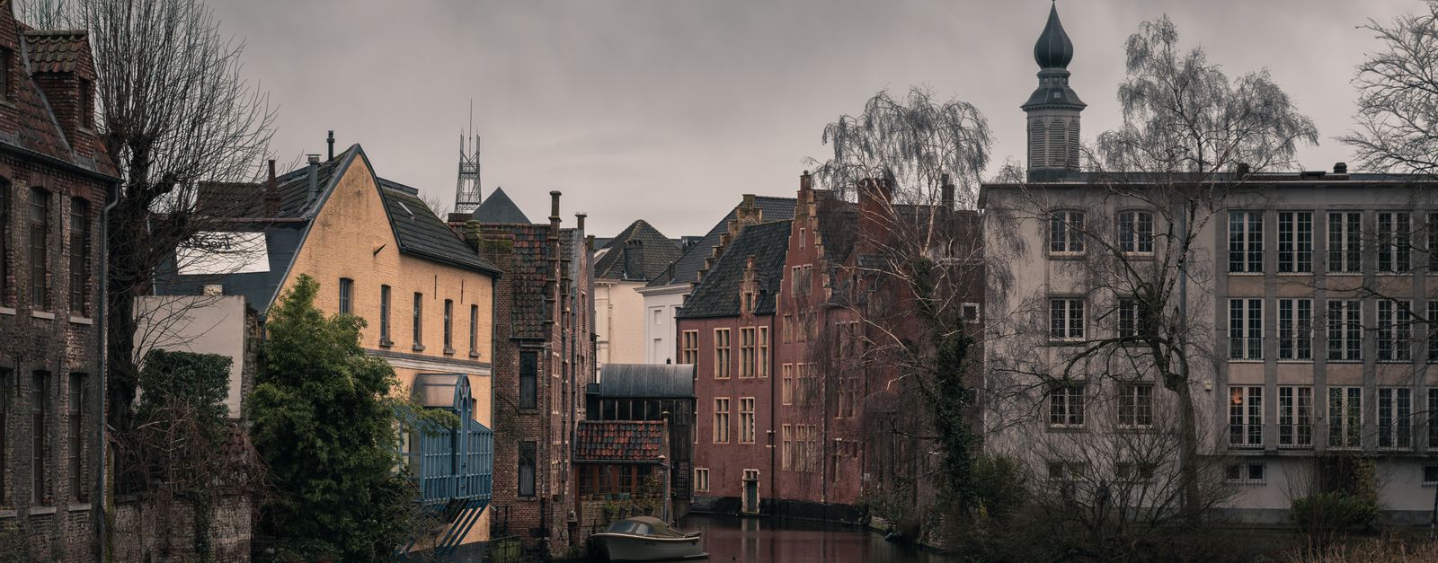
Atmospheric view of a historic canal and old town architecture in Ghent, Belgium.
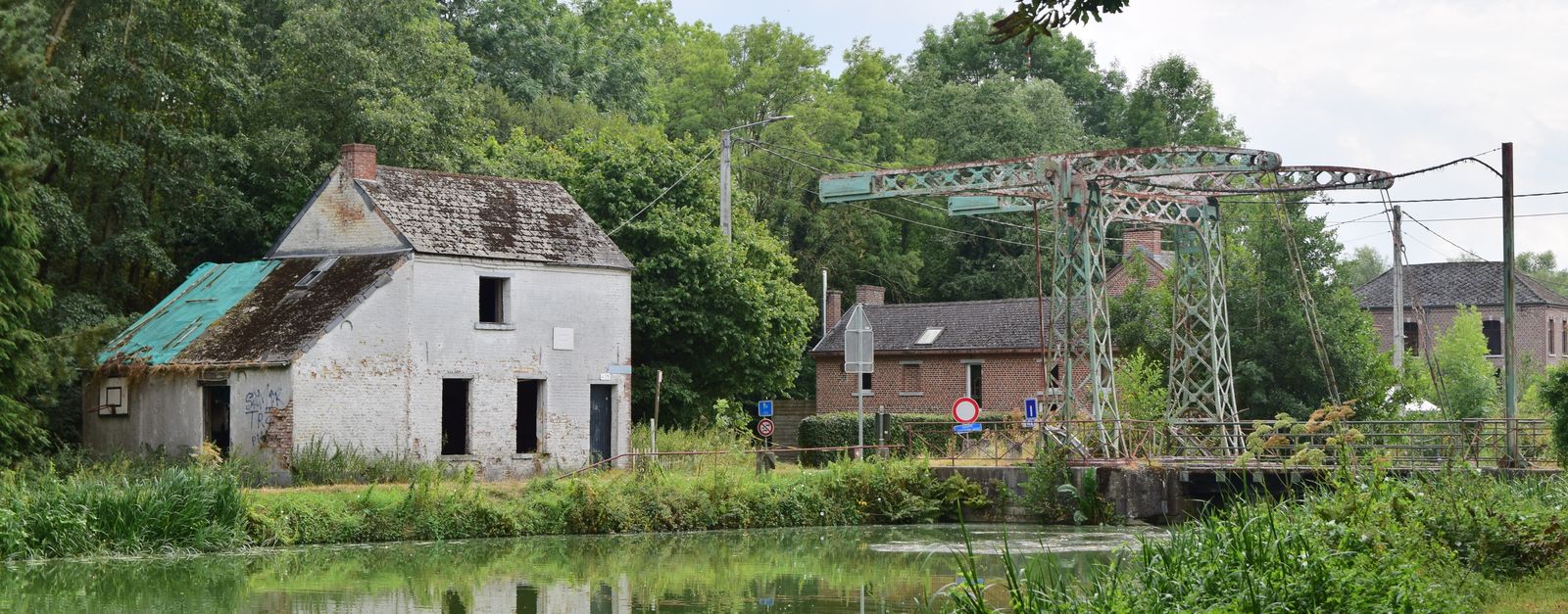
Scenic view of an old stone house and bridge over a tranquil canal in a lush green landscape.
Black and white photo capturing urban redevelopment in Belgium, showing demolished buildings and construction machinery.
Photo by LIZHI LIANG on Pexels
Destinations
Home›Destinations›Walem
EuropeBelgiumFlanders

Walem

Flanders, Belgium · Europe

About Walem

Walem works well as a base: 5 minutes from Heffen, 5km from St. Rumbold's Tower.

Walem is in Flanders, Belgium, with about 2,000 people. You drive on the right here. The nearest town is Heffen, about 4 km away.

Where to Stay in Walem

Compare prices across Booking.com, Airbnb, Expedia, and more. Select your dates to see availability.

Filter presets

Pick your must-haves once: provider links open pre-filtered. Each filter lists which sites it applies to.

Booking.comExpediaTripAdvisorHotels.comAgodaAirbnb

Compare before you book!

Prices can vary significantly between platforms. We recommend checking at least 2-3 sites to find the best deal for your stay in Walem.

Explore the Area

Discover famous landmarks, scenic roads, and more near Walem.

Loading map...
Open in Google Maps

Frequently Asked Questions

What is there to see near Walem?

Within an hour or so of Walem: St. Rumbold's Tower (5 km), Cathedral of Our Lady, Antwerp (17 km), Antwerp Zoo (17 km), Antwerpen-Centraal (17 km).

Are there any good drives near Walem?

The nearest famous roads are Brouwersdam, Koninklijke Baan Coast Road and Chimay Street Circuit.

Where is Walem?

Walem is in Flanders, Belgium, about 4 km from Heffen.

Road trip

Drive to Walem

Add it as a stop and the planner works out the driving, the nights and what's worth seeing on the way.

Start planning

What's nearby?

Swipe through places to go

Places within a drive of Walem. Keep the ones you like and add them to your trip.

Explore now

Quick Information

Population
1,988
Continent
Europe
Country
Belgium
Region
Flanders
Timezone
Europe/Brussels
Coordinates
51.0671, 4.4584

Emergency & Services

Essential numbers in Belgium

Police
101
Ambulance
112
Fire
112
All emergencies
112
Driving side
right
Full driving guide for Belgium

Tags

EuropeBelgiumFlandersTown

Worth the detour from Walem

8 notable places within an hour's drive.

cathedral

St. Rumbold's Tower

Climb 538 steps up Mechelen's unfinished Gothic tower for a sky-walk panorama reaching as far as Antwerp and Brussels.

5 km · about 10 min drive

cathedral

Cathedral of Our Lady, Antwerp

Belgium's tallest Gothic building housing masterpieces by Rubens, with a UNESCO-listed 123-metre tower visible across Flanders.

17 km · about 20 min drive

landmark

Antwerp Zoo

Historic Belgian zoo next to the central train station, one of the oldest in the world, founded in 1843.

17 km · about 20 min drive

landmark

Antwerpen-Centraal

A cathedral-like railway station of marble, gilt and glass, repeatedly voted one of the most beautiful in the world.

17 km · about 20 min drive

museum

Plantin-Moretus Museum

The world's oldest surviving printing house, run by the Plantin family in Antwerp from 1576 to 1867 and the only museum on the UNESCO World Heritage list: complete with the two oldest printing presses in existence and a Gutenberg Bible.

17 km · about 20 min drive

landmark

Atomium

Futuristic building in Brussels shaped like an iron crystal magnified 165 billion times, built for the 1958 World Expo.

21 km · about 25 min drive

landmark

Grand-Place

Opulent central square in Brussels surrounded by ornate guildhalls and the Gothic town hall, a UNESCO World Heritage Site.

26 km · about 30 min drive

landmark

Manneken Pis

Small bronze fountain sculpture of a urinating boy that has become a beloved symbol of Brussels since 1619.

26 km · about 30 min drive

Driving roads near Walem

4 named roads, passes and coastal drives within 150km.

  • 57 kmWestern Scheldt TunnelAt 6.6 km the longest road tunnel in the Netherlands, diving under the busy Western Scheldt shipping lane to link Zeeland with Zeelandic Flanders since 2003.
  • 57 kmWesterscheldetunnelTolled 6.6-kilometre road tunnel under the Western Scheldt linking Zeelandic Flanders to Zuid-Beveland, replacing two ferries.
  • 72 kmZeeland BridgeElegant 5 km bridge over the Oosterschelde estuary, the longest in the Netherlands when opened in 1965. Its endless procession of arches makes one of the country's most photogenic drives.

Driving in Belgium

Drives on
the right
Petrol
~€1.74/litre
Motorway tolls
None

When to drive here

April to October

Nearby Destinations

Other places to explore near Walem.

Rumst

🇧🇪 Belgium

3 km awayPop. 14,521

Terhagen

🇧🇪 Belgium

4 km awayPop. 2,736

Duffel

🇧🇪 Belgium

5 km awayPop. 16,011

Mechelen

🇧🇪 Belgium

5 km awayPop. 77,530

Reet

🇧🇪 Belgium

5 km awayPop. 6,865

Sint-Katelijne-Waver

🇧🇪 Belgium

5 km awayPop. 19,487

Blaasveld

🇧🇪 Belgium

6 km awayPop. 4,367

Boom

🇧🇪 Belgium

7 km awayPop. 15,810

Plan a trip around Walem

Europe road trip planner

Your trip starts here

Plan a road trip from Walem.

Pick the days, drop in the stops, and share it with whoever's coming.

Start planning
PYRT

The ultimate road trip planning platform. Discover 150,000+ destinations worldwide, plan scenic routes, and create unforgettable adventures.

Inspiration

  • Discover Trips
  • Travel Guides
  • Community

The Product

  • Calendar Planner
  • Integrations
  • How It Works
  • Collaboration Mode
  • Get the App
  • Merchandise: PYRT Supply Co.
  • Become a Creator
  • Trip Marketplace

Plan Your Trip

  • Road Trip Planner
  • Famous Routes
  • Drive Times & Distances
  • Planners by Country
  • Best Road Trip Planner App
  • Discover Road Trips
  • Events
  • Travel Guides
  • How It Works
  • My Trips
  • Community Groups

Company

  • Terms of Service
  • Privacy Policy
  • About PYRT
  • Support
  • Contact Us
  • Sign In
  • Create Account

© 2026 Plan Your Road Trips. All rights reserved.

•[email protected]
Data sources:GeoNames (CC BY 4.0)•Wikimedia Commons (CC BY-SA)•Mapbox•Photography: George Lawrence