
landmark
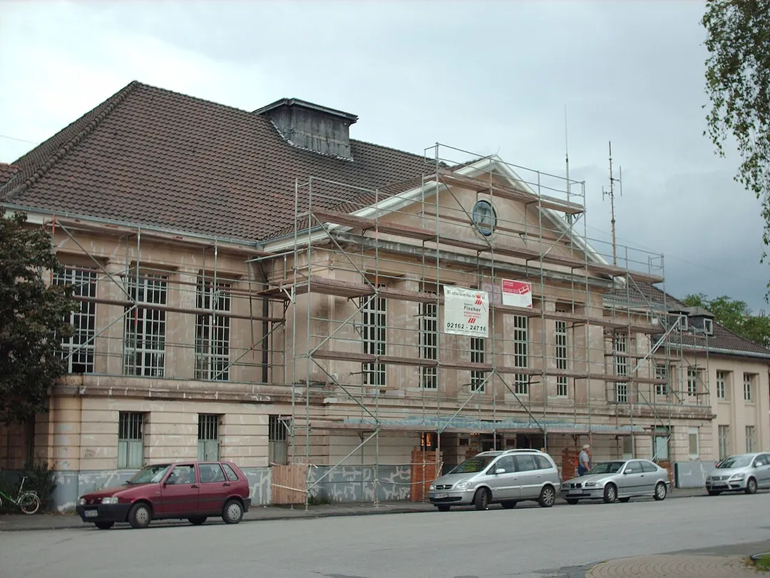
Classic Remise Düsseldorf
A magnificent classic car centre in a restored locomotive roundhouse filled with rare vehicles, workshops, and automotive lifestyle shops.
31 km · about 35 min drive
North Rhine-Westphalia, Germany · Europe
Viersen sits on the route: 10 minutes from Neersen, 53km from Cologne Cathedral (Kölner Dom).
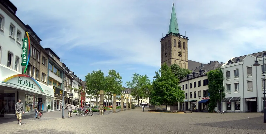
Viersen is in North Rhine-Westphalia, Germany, with about 76,000 people. You drive on the right here. The nearest town is Neersen, about 6 km away.
Viersen (German pronunciation: [ˈfiːɐ̯zn̩] ; Limburgish: Veeëse) is the capital of the district of Viersen, in North Rhine-Westphalia, Germany.
Compare prices across Booking.com, Airbnb, Expedia, and more. Select your dates to see availability.
Pick your must-haves once: provider links open pre-filtered. Each filter lists which sites it applies to.
Compare before you book!
Prices can vary significantly between platforms. We recommend checking at least 2-3 sites to find the best deal for your stay in Viersen.
Discover famous landmarks, scenic roads, and more near Viersen.
Within an hour or so of Viersen: Classic Remise Düsseldorf (31 km), Toverland (33 km), Thorn (40 km), Zollverein Coal Mine (52 km).
The nearest famous roads are Baraque de Fraiture and Mosel Valley Wine Route.
Viersen is in North Rhine-Westphalia, Germany, about 6 km from Neersen.
Road trip
Add it as a stop and the planner works out the driving, the nights and what's worth seeing on the way.
Start planningSwipe through places to go
Places within a drive of Viersen. Keep the ones you like and add them to your trip.
Essential numbers in Germany
ADAC roadside assistance: +49 89 22 22 22. No general speed limit on some autobahn sections but advisory 130 km/h.
Full driving guide for Germany8 notable places within an hour's drive.
landmark
A magnificent classic car centre in a restored locomotive roundhouse filled with rare vehicles, workshops, and automotive lifestyle shops.
31 km · about 35 min drive
landmark
Dutch indoor-outdoor theme park in Limburg offering a mix of thrill rides and family attractions in themed areas.
33 km · about 40 min drive
landmark
The 'white village' of Limburg: an entire former abbey-principality of whitewashed brick lanes and cobbles beside the Maas, painted white in the Napoleonic era to dodge a window tax and kept that way ever since.
40 km · about 45 min drive
museum
A Bauhaus-styled colliery and UNESCO icon of the Ruhr, now a striking park of red walkways, museums and a winter ice rink.
52 km · about 60 min drive
cathedral
This twin-spired Gothic giant towers over the Rhine, its 533 steps rewarding climbers with a sweeping city panorama.
53 km · about 60 min drive
landmark
The world's oldest electric suspension railway glides above the Wupper River, a 1901 engineering marvel still in daily use.
53 km · about 60 min drive
cathedral
The first UNESCO World Heritage Site in Germany, built by Charlemagne as his palatine chapel in the 9th century.
58 km · about 65 min drive
landmark
Hill-country Valkenburg hides Roman-era marl tunnels, a ruined castle and the Netherlands' only true hilltop drives.
59 km · about 70 min drive
April to October
Other places to explore near Viersen.
Your trip starts here
Pick the days, drop in the stops, and share it with whoever's coming.