landmark
Andechs Monastery
A hilltop Benedictine monastery above the Ammersee famous for its potent monk-brewed beer and pilgrimage church.
10 km · about 20 min drive
Bavaria, Germany · Europe
Tutzing is worth a stop: 10 minutes from Feldafing, 32km from Kesselberg Road.
Tutzing is in Bavaria, Germany, with about 9,500 people. You drive on the right here. The nearest town is Feldafing, about 4 km away.
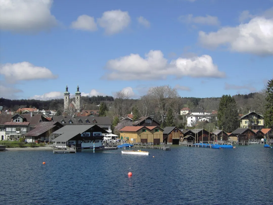
Tutzing (German pronunciation: [ˈtʊtsɪŋ]) is a municipality in the district of Starnberg in Bavaria, Germany, on the west bank of the Starnberger See. Just 40 km south-west of Munich and with good views of the Alps, the town was traditionally a favourite holiday spot for those living in the city.
In 1873 JohannesRead more
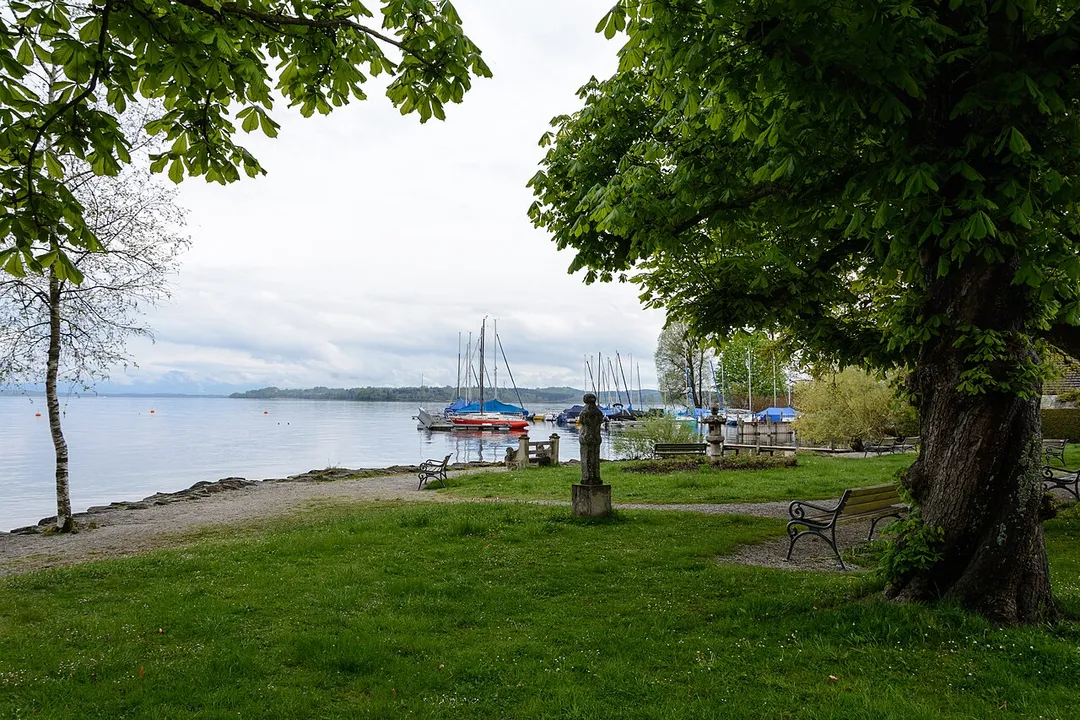
Brahms spent four summer months in Tutzing, completing his String Quartets Opus 51 and writing the Haydn Variations. A small lakeside park is dedicated to him, and a plaque stands near the large house where he lived and worked.
The town of 10,000 is home to many commuters to Munich, as well as to retirees. Tutzing station is both a terminus of Munich's S-Bahn rail network and a regional train hub serving Innsbruck, Mittenwald, Garmisch-Partenkirchen, Reutte, Kochel and Oberammergau.
Tutzing has a regional hospital and various clinics. It hosts the conference centre Evangelische Akademie Tutzing, founded in 1947.
Tutzing has been home to various German celebrities, including the former president of the Federal Constitutional Court Hans-Jürgen Papier, musicians Peter Maffay, Leslie Mándoki, and Elly Ney, the late Guido Dessauer, and the military general and theorist Erich Ludendorff, who died and is buried in the town.
During the Nazi period, Trutskirch-Tutzing (Dornier), a forced-labour factory for the Dornier-Werke GmbH aircraft concern, was a sub-camp of Dachau Concentration Camp. The town was also a stop on the "trail of tears" of inmates forcibly marched south in 1945; a plaque at the town hall commemorates them.
Compare prices across Booking.com, Airbnb, Expedia, and more. Select your dates to see availability.
Pick your must-haves once: provider links open pre-filtered. Each filter lists which sites it applies to.
Compare before you book!
Prices can vary significantly between platforms. We recommend checking at least 2-3 sites to find the best deal for your stay in Tutzing.
Discover famous landmarks, scenic roads, and more near Tutzing.
Within an hour or so of Tutzing: Andechs Monastery (10 km), Kesselberg Road (32 km), Deutsches Museum (33 km), Marienplatz & New Town Hall (34 km).
The nearest famous roads are Kesselberg Road, Deutsche Alpenstrasse and Romantic Road (Romantische Straße).
Tutzing is in Bavaria, Germany, about 4 km from Feldafing.
Road trip
Add it as a stop and the planner works out the driving, the nights and what's worth seeing on the way.
Start planningSwipe through places to go
Places within a drive of Tutzing. Keep the ones you like and add them to your trip.
Essential numbers in Germany
ADAC roadside assistance: +49 89 22 22 22. No general speed limit on some autobahn sections but advisory 130 km/h.
Full driving guide for Germany8 notable places within an hour's drive.
landmark
A hilltop Benedictine monastery above the Ammersee famous for its potent monk-brewed beer and pilgrimage church.
10 km · about 20 min drive
famous road
Bavaria's most celebrated driving road: the B11 climbs in tight switchbacks from Kochelsee to Walchensee over the 858 m Kesselberg, a historic hillclimb course beloved by motorcyclists since the 1900s.
32 km · about 35 min drive
museum
The world's largest science and technology museum, with hands-on exhibits spanning mining, aviation, and physics.
33 km · about 40 min drive
landmark
Munich's central square dominated by the Neo-Gothic New Town Hall whose Glockenspiel chimes daily with jousting knights and dancing coopers.
34 km · about 40 min drive
museum
Spectacular delivery and experience center where visitors explore current BMW, MINI, and Rolls-Royce models in a striking double-cone building.
36 km · about 40 min drive
museum
A futuristic bowl-shaped building tracing BMW's evolution from aircraft engines to iconic automobiles and motorcycles.
36 km · about 40 min drive
landmark
Bavarian aquarium in the Olympic Park showcasing freshwater and marine habitats from local rivers to tropical seas.
36 km · about 40 min drive
landmark
One of the world's largest urban parks, where Münchners surf the Eisbach wave, sunbathe, and relax at the Chinese Tower beer garden.
37 km · about 45 min drive
April to October
Other places to explore near Tutzing.
Your trip starts here
Pick the days, drop in the stops, and share it with whoever's coming.