cafe
Moto Republic
A shared motorcycle workshop and social hub in Costa Mesa where riders wrench on their bikes and share the community stoke.
9 km · about 15 min drive
California, United States · North America
Turtle Rock works well as a base: 10 minutes from Woodbridge, 21km from Disneyland Park.
Turtle Rock is in California, United States, with about 12,000 people. You drive on the right here. The nearest town is Woodbridge, about 4 km away.
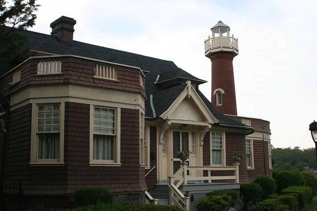
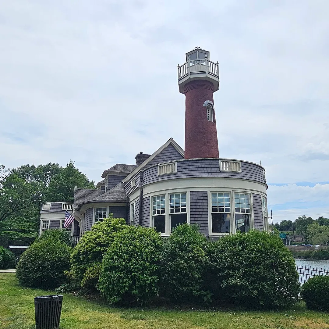
Turtle Rock is a neighborhood in the south part of Irvine, California, near Concordia University, Irvine and the University of California, Irvine. It is bounded to the north by University Drive and Mason Regional Park, to the east by the Strawberry Farms Golf Club and Ridgeline Drive, to the south by Shady CanyonRead more
Drive, and to the west by Culver Drive. Turtle Rock is one of the five "villages" originally forming Irvine; its 1967 founding is commemorated by a sculpture of a turtle in Turtle Rock Community Park, at the corner of Turtle Rock and Sunnyhill Drives. A two-lane internal loop road, Turtle Rock Drive, encircles the village and carries traffic between housing developments and the city's main streets.
Geographically, Turtle Rock lies in the San Joaquin Hills. The tallest point is a hill called "Sunset Point". Originally a nameless point, it was referenced as a part of Chaparral Park. It is often referred to as "Suicide Hill" online, due to the usage of the hill's steepest slope to perform the "Suicide" exercise routine. In 2021, the City Of Irvine conducted surveys and consulted with indigenous leaders, before officially naming the hill "Sunset Point". The highest point of Sunset Point is 161m tall. A lower peak to the north, also within the neighborhood, is called French Hill, with a peak of 128 meters. While it is not entirely clear where the name "Turtle Rock" comes from, there is a rocky outcropping on Rockview Drive at the northern end of the neighborhood (33°39′15″N 117°49′01″W) that is now maintained as part of an association park. This rock has the shape of the front of a turtle's carapace, and is sacred to the Gabrieleño Native Americans. It is often locally considered to be the origin of the name "Turtle Rock".
Compare prices across Booking.com, Airbnb, Expedia, and more. Select your dates to see availability.
Pick your must-haves once: provider links open pre-filtered. Each filter lists which sites it applies to.
Compare before you book!
Prices can vary significantly between platforms. We recommend checking at least 2-3 sites to find the best deal for your stay in Turtle Rock.
Discover famous landmarks, scenic roads, and more near Turtle Rock.
Within an hour or so of Turtle Rock: Moto Republic (9 km), Disneyland Park (21 km), Disney California Adventure Park (21 km), Cars Land (Disney California Adventure) (21 km).
The nearest famous roads are Route 66 - Santa Monica End and Mulholland Drive.
Turtle Rock is in California, United States, about 4 km from Woodbridge.
Road trip
Add it as a stop and the planner works out the driving, the nights and what's worth seeing on the way.
Start planningSwipe through places to go
Places within a drive of Turtle Rock. Keep the ones you like and add them to your trip.
Essential numbers in United States
AAA roadside assistance: 1-800-222-4357. Right turn on red is legal in most states unless signed otherwise.
Full driving guide for United States8 notable places within an hour's drive.
cafe
A shared motorcycle workshop and social hub in Costa Mesa where riders wrench on their bikes and share the community stoke.
9 km · about 15 min drive
landmark
Walt Disney's original theme park opened in 1955, the happiest place on earth in Anaheim, California.
21 km · about 25 min drive
landmark
Anaheim Disney park celebrating California's culture, history, and natural beauty with Pixar and Marvel lands.
21 km · about 25 min drive
landmark
Disney's immersive recreation of Radiator Springs from Pixar's Cars films with the thrilling Radiator Springs Racers ride.
21 km · about 25 min drive
landmark
America's first theme park in Buena Park, California, known for its Old West Ghost Town and thrilling coasters.
28 km · about 35 min drive
landmark
Long Beach aquarium showcasing the diverse marine life of the Pacific Ocean from Southern California to the tropics.
38 km · about 45 min drive
museum
Drag racing's shrine at the Pomona Fairplex, steps from the historic strip where the NHRA season starts and ends, packed with top fuel dragsters, hot rods and land-speed cars.
49 km · about 55 min drive
racetrack
The oldest continuously operating drag strip in the world, opened 1951 on the Los Angeles County Fairplex, and the traditional season opener and finale of the NHRA calendar.
50 km · about 60 min drive
Other places to explore near Turtle Rock.
Your trip starts here
Pick the days, drop in the stops, and share it with whoever's coming.