Toxteth is worth a stop: 5 minutes from Vauxhall, 45km from Horseshoe Pass.
Toxteth is in England, United Kingdom, with about 4,000 people. You drive on the left here. The nearest town is Vauxhall, about 4 km away.
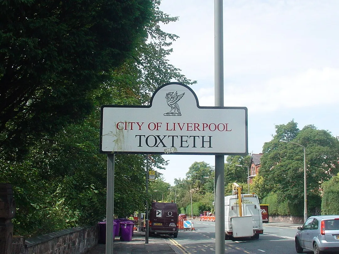
Toxteth is an inner-city area of Liverpool in the county of Merseyside.
Toxteth is located to the south of Liverpool city centre, bordered by Aigburth, Canning, Dingle, and Edge Hill. It is also known by the colloquial nickname Tocky.
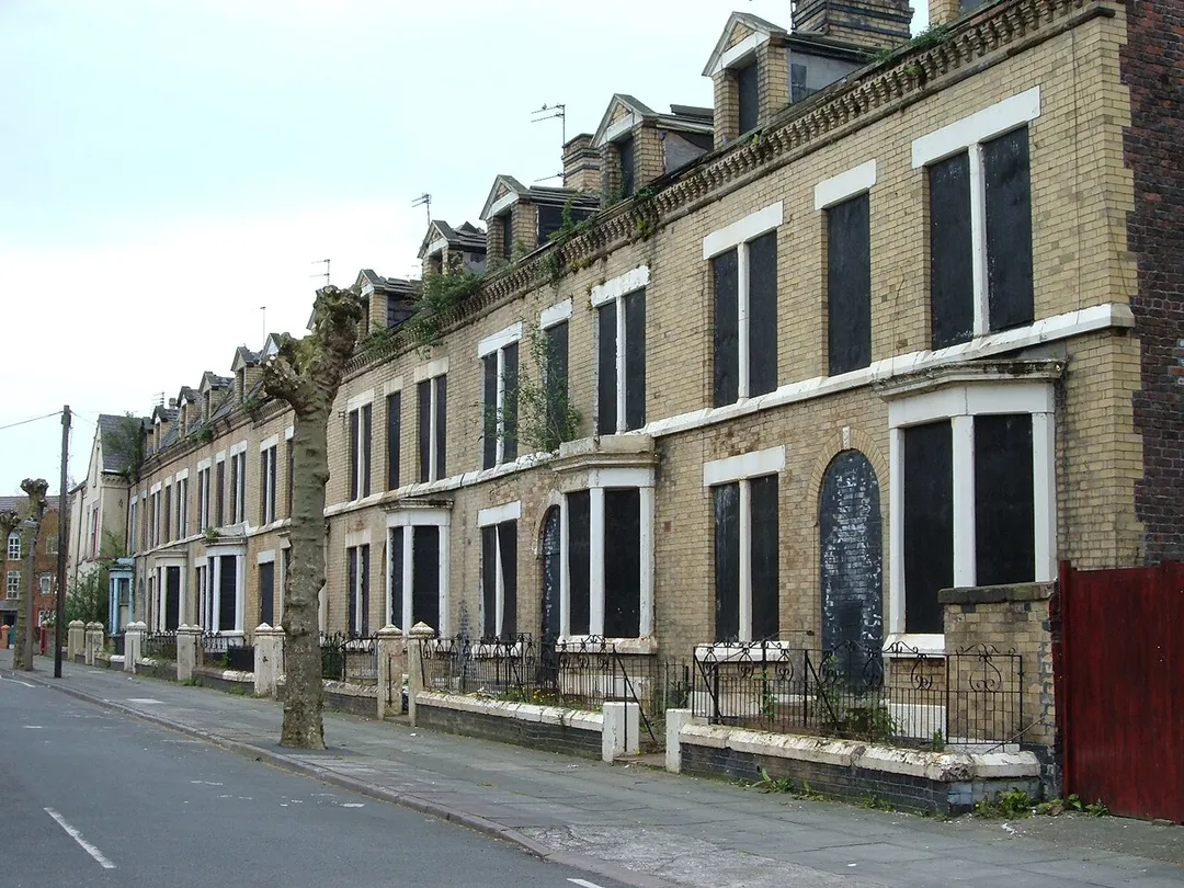
The area was originally part of a royal park and known as Toxteth Park. It remainedRead more predominantly rural up until the 18th century. Toxteth was then developed during this time and into the 19th century, mainly as a residential area to accommodate the increasing working-class community centred on Liverpool following the Industrial Revolution. The Welsh Streets in Toxteth were constructed in the mid-19th century to accommodate this demand. Immigration continued into the second half of the 20th century, resulting in a significant number of ethnic minority communities in the area.
Toxteth was badly hit by economic stagnation and unemployment by the late 1970s, culminating in riots in July 1981. Although attempts have been made to regenerate the area and improve living standards, significant problems with unemployment and crime remain into the 21st century. Many Georgian and Victorian buildings in the area have since been demolished, as well as some of the more recent council houses and flats which fell into disrepair and became difficult to let to new tenants.
Historic circuit inside Aintree Racecourse that hosted five British Grands Prix in the 1950s-60s, where Stirling Moss took his first home GP win. Club sprints still run on the old track.
10 km · about 20 min drive
landmark
Chester Zoo
The UK's most-visited zoo housing over 35,000 animals across 128 acres with award-winning conservation programs.
19 km · about 20 min drive
racetrack
Oulton Park
A picturesque Cheshire circuit winding through parkland with dramatic elevation changes, a favourite of British club and national racing.
34 km · about 40 min drive
cafe
Ponderosa Cafe
A legendary biker stop high on the Horseshoe Pass above Llangollen with panoramic views across the Welsh valleys.
44 km · about 50 min drive
landmark
Blackpool Pleasure Beach
Iconic seaside amusement park on England's northwest coast operating since 1896 with historic and modern coasters.
45 km · about 50 min drive
landmark
Bentley Factory Tour
Exclusive guided tours of Bentley's Crewe factory where master craftspeople build the world's finest luxury cars.
45 km · about 50 min drive
mountain pass
Horseshoe Pass
Sweeping A542 mountain pass curling above Llangollen in a giant horseshoe, climbing to 417m past the Ponderosa Cafe with wide views over the Dee Valley. A classic North Wales driving and biking road.
45 km · about 50 min drive
mountain pass
Horseshoe Pass (Bwlch yr Oernant)
A sweeping 417m moorland pass on the A542 above Llangollen, with the Ponderosa cafe at the top and views to the Berwyns.
45 km · about 50 min drive
Driving roads near Toxteth
45 kmHorseshoe PassSweeping A542 mountain pass curling above Llangollen in a giant horseshoe, climbing to 417m past the Ponderosa Cafe with wide views over the Dee Valley. A classic North Wales driving and biking road.
45 kmHorseshoe Pass (Bwlch yr Oernant)A sweeping 417m moorland pass on the A542 above Llangollen, with the Ponderosa cafe at the top and views to the Berwyns.
53 kmEvo TriangleLegendary 20-mile loop of the A5, A543 and B4501 across the empty Denbigh Moors, made famous as evo magazine's road-test circuit. Fast, open sightlines past Llyn Brenig make it a pilgrimage for keen drivers.
59 kmGreat Orme Marine DriveOne-way Victorian toll road looping 4 miles around the cliffs of the Great Orme headland at Llandudno, with sheer limestone drops, seabirds and views to Anglesey and the Irish Sea.
65 kmA54 Congleton to BuxtonA fast moorland alternative to the Cat and Fiddle, rolling over the Peak District's western edge past Danebridge and the Cheshire border.
67 kmCat and Fiddle RoadA thrilling moorland road between Macclesfield and Buxton in the Peak District, one of the UK's most famous driving roads.