PYRTPlan Your Road Trips
Create TripCommunityMerchandise
PYRTPlan Your Road Trips
Create TripCommunityMerchandise
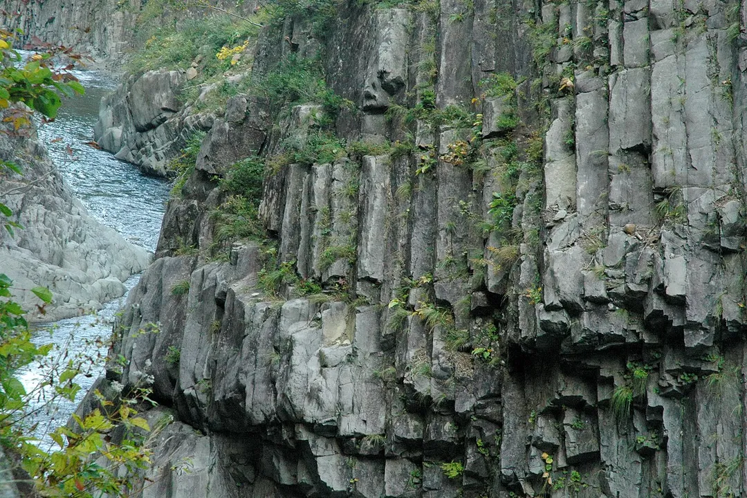
Kiyotsukyo, Japan. (ja:清津峡)
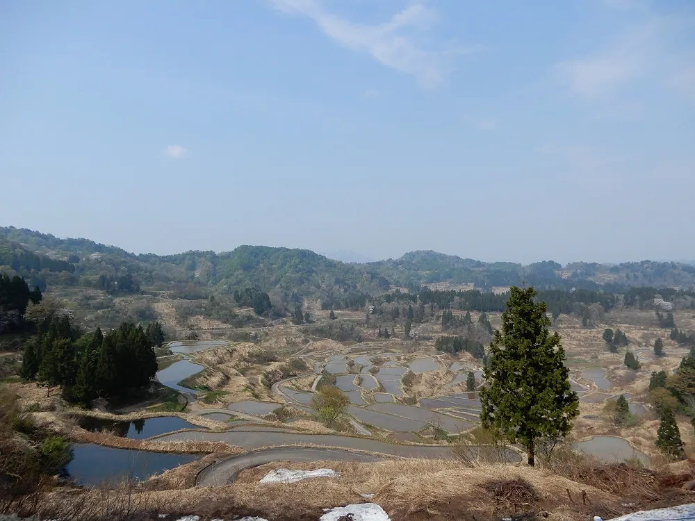
星峠の棚田
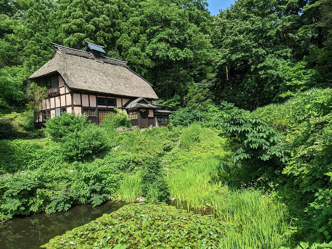
German architect, Karl Bengs moved to Tokamachi and remodeled local houses using German techniques
Photo by Kropsoq
Destinations
Home›Destinations›Tōkamachi
AsiaJapanNiigata

Tōkamachi

Niigata, Japan · Asia

About Tōkamachi

Tōkamachi sits on the route: 20 minutes from Minamiuonuma, 52km from Jigokudani Monkey Park.

Tōkamachi is in Niigata, Japan, with about 53,000 people. You drive on the left here. The nearest town is Minamiuonuma, about 11 km away.

Tōkamachi (十日町市, Tōkamachi-shi) is a city located in Niigata Prefecture, Japan. As of 1 July 2019, the city had an estimated population of 28,728 in 19,823 households, and a population density of 86.3 persons per km². The total area of the city was 590.39 square kilometres (227.95 sq mi), although some borders of the

Read more city are not well defined. Tōkamachi derives its name from the fact that a market was held every tenth day of the month. Similarly, the nearby former town of Muikamachi had its own local market held on days ending in six each month.

Read more on Wikipedia

Where to Stay in Tōkamachi

Compare prices across Booking.com, Airbnb, Expedia, and more. Select your dates to see availability.

Filter presets

Pick your must-haves once: provider links open pre-filtered. Each filter lists which sites it applies to.

Booking.comExpediaTripAdvisorHotels.comAgodaAirbnb

Compare before you book!

Prices can vary significantly between platforms. We recommend checking at least 2-3 sites to find the best deal for your stay in Tōkamachi.

Explore the Area

Discover famous landmarks, scenic roads, and more near Tōkamachi.

Loading map...
Open in Google Maps

Frequently Asked Questions

What is there to see near Tōkamachi?

Within an hour or so of Tōkamachi: Nozawa Onsen (37 km), Jigokudani Monkey Park (52 km), Shibu Onsen (53 km), Shibu Pass (56 km).

Are there any good drives near Tōkamachi?

The nearest famous roads are Shibu Pass, Mount Haruna Touge and Irohazaka Winding Road.

Where is Tōkamachi?

Tōkamachi is in Niigata, Japan, about 11 km from Minamiuonuma.

Road trip

Drive to Tōkamachi

Add it as a stop and the planner works out the driving, the nights and what's worth seeing on the way.

Start planning

What's nearby?

Swipe through places to go

Places within a drive of Tōkamachi. Keep the ones you like and add them to your trip.

Explore now

Quick Information

Population
53,333
Continent
Asia
Country
Japan
Region
Niigata
Timezone
Asia/Tokyo
Coordinates
37.1333, 138.7667

Emergency & Services

Essential numbers in Japan

Police
110
Ambulance
119
Fire
119
Driving side
left

Japan Helpline (24h English assistance): 0570-000-911. An International Driving Permit (1949 convention) is required to drive.

Full driving guide for Japan

Tags

AsiaJapanNiigataTown

Worth the detour from Tōkamachi

5 notable places within an hour's drive.

landmark

Nozawa Onsen

A steep village of thirteen free communal bathhouses maintained by residents, plus an open hot-spring cooking pool where locals blanch vegetables. The Oyu bathhouse is a wooden temple-roofed landmark at the centre.

37 km · about 40 min drive

natural wonder

Jigokudani Monkey Park

A unique hot spring area where wild Japanese macaques famously bathe in steaming thermal pools surrounded by snow.

52 km · about 60 min drive

landmark

Shibu Onsen

A cobbled onsen village of wooden inns where guests in yukata and geta make a circuit of nine small public bathhouses. It is the road-end village below the snow monkey valley.

53 km · about 60 min drive

mountain pass

Shibu Pass

At 2,172 m this is the highest point on any Japanese national highway, on Route 292 between Nagano and Gunma. In spring the road is cut through snow walls several metres high.

56 km · about 65 min drive

photogenic

Kusatsu Yubatake

The steaming timber sluice at the centre of Kusatsu, where 4,000 litres a minute of highly acidic spring water is cooled across wooden channels before reaching the baths. Floodlit and clouded in steam after dark.

59 km · about 70 min drive

Driving roads near Tōkamachi

4 named roads, passes and coastal drives within 100km.

  • 56 kmShibu PassAt 2,172 m this is the highest point on any Japanese national highway, on Route 292 between Nagano and Gunma. In spring the road is cut through snow walls several metres high.
  • 74 kmMount Haruna TougeThe winding climb to Lake Haruna in Gunma, immortalised as 'Mount Akina' in Initial D. Gentle hairpins, a crater lake at the top, and constant pilgrimages by fans of Japan's street-racing manga.

Nearby Destinations

Other places to explore near Tōkamachi.

Minamiuonuma

🇯🇵 Japan

11 km awayPop. 55,354

Muikamachi

🇯🇵 Japan

13 km awayPop. 29,123

Yuzawa

🇯🇵 Japan

22 km awayPop. 7,926

Jōetsu

🇯🇵 Japan

47 km awayPop. 189,430

Iiyama

🇯🇵 Japan

47 km awayPop. 20,118

Arai

🇯🇵 Japan

50 km awayPop. 27,481

Hirao

🇯🇵 Japan

53 km awayPop. 11,352

Nakano

🇯🇵 Japan

56 km awayPop. 42,664

Plan a trip around Tōkamachi

Asia road trip planner

Your trip starts here

Plan a road trip from Tōkamachi.

Pick the days, drop in the stops, and share it with whoever's coming.

Start planning
PYRT

The ultimate road trip planning platform. Discover 150,000+ destinations worldwide, plan scenic routes, and create unforgettable adventures.

Inspiration

  • Discover Trips
  • Travel Guides
  • Community

The Product

  • Calendar Planner
  • Integrations
  • How It Works
  • Collaboration Mode
  • Get the App
  • Merchandise: PYRT Supply Co.
  • Become a Creator
  • Trip Marketplace

Plan Your Trip

  • Road Trip Planner
  • Famous Routes
  • Drive Times & Distances
  • Planners by Country
  • Best Road Trip Planner App
  • Discover Road Trips
  • Events
  • Travel Guides
  • How It Works
  • My Trips
  • Community Groups

Company

  • Terms of Service
  • Privacy Policy
  • About PYRT
  • Support
  • Contact Us
  • Sign In
  • Create Account

© 2026 Plan Your Road Trips. All rights reserved.

•[email protected]
Data sources:GeoNames (CC BY 4.0)•Wikimedia Commons (CC BY-SA)•Mapbox•Photography: George Lawrence