
landmark
Gjirokastër
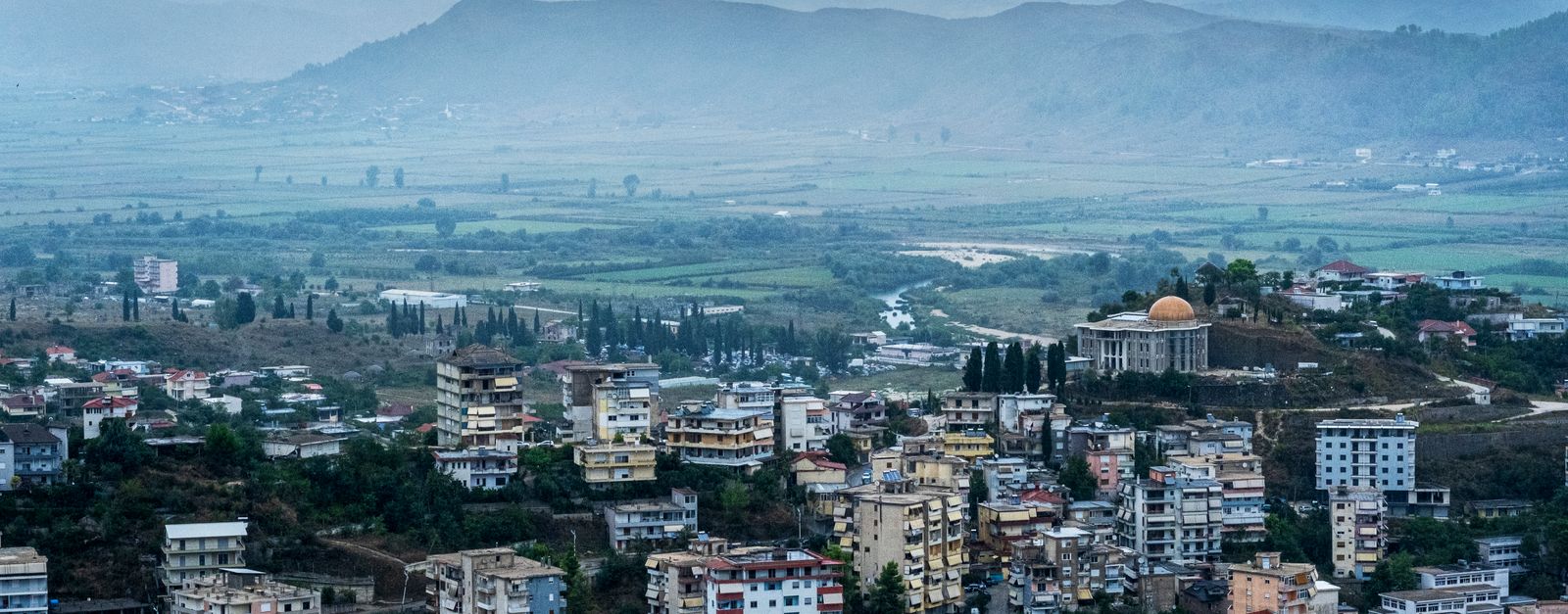
A UNESCO-listed city of stone with distinctive Ottoman tower houses and a massive hilltop castle, known as the City of Stone.
26 km · about 30 min drive
Gjirokastër County, Albania · Europe
Tepelenë is worth a stop: 15 minutes from Memaliaj, 28km from Osum Canyon.
Tepelenë is in Gjirokastër County, Albania, with about 12,000 people. You drive on the right here. The nearest town is Memaliaj, about 7 km away.
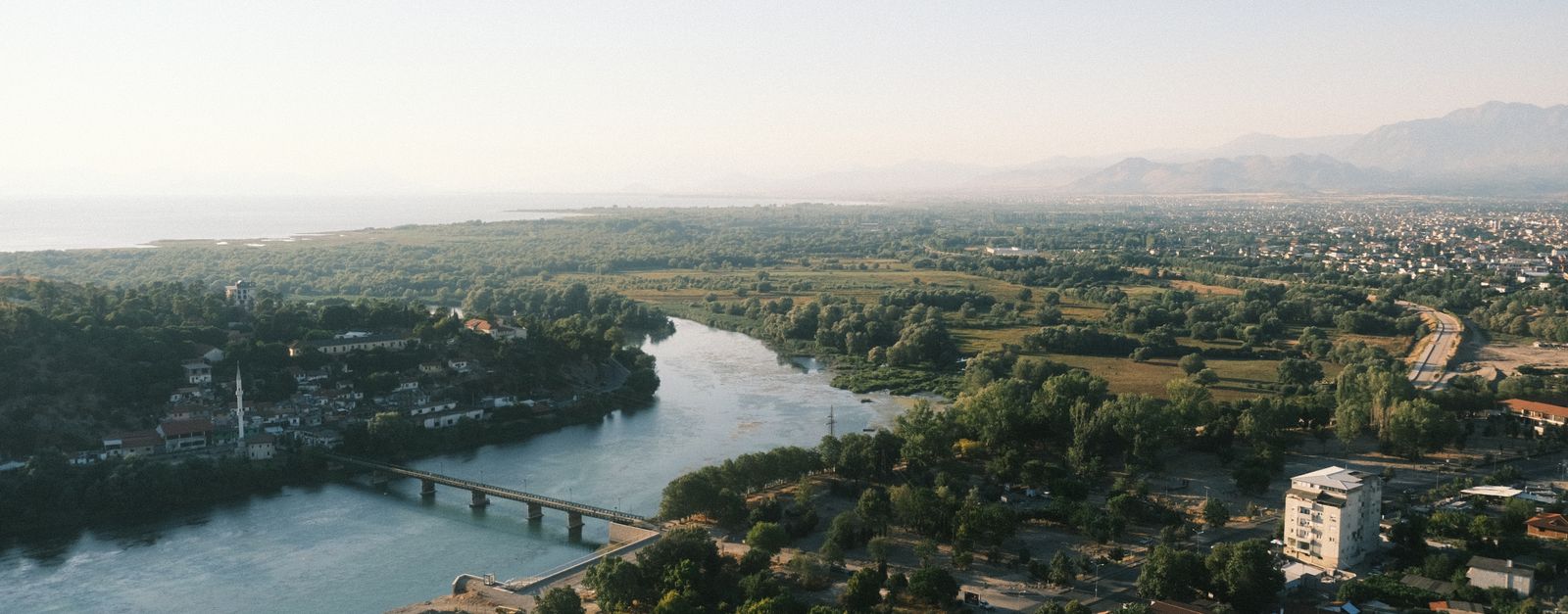
Tepelenë (Albanian definite form: Tepelena) is a city and a municipality in Gjirokastër County, in the south of Albania. The town is on the left bank of the Vjosa River, about three kilometres downstream from its union with the Drino.
Until the abolition of Districts in 2000, Tepelenë was the seat of the TepelenëRead more
District. Its location is strategically important and there is a ruined citadel occupying a point 300 metres above the river. Ali Pasha of Yanina was born at the nearby village of Beçisht, and Tepelena along with Ioannina were Ali's headquarters. In 1847, the British writer Edward Lear visited the town and noted the devastated buildings.
Compare prices across Booking.com, Airbnb, Expedia, and more. Select your dates to see availability.
Pick your must-haves once: provider links open pre-filtered. Each filter lists which sites it applies to.
Compare before you book!
Prices can vary significantly between platforms. We recommend checking at least 2-3 sites to find the best deal for your stay in Tepelenë.
Discover famous landmarks, scenic roads, and more near Tepelenë.
Within an hour or so of Tepelenë: Gjirokastër (26 km), Osum Canyon (28 km), Vjosa Wild River National Park (29 km), Himara (31 km).
The nearest famous roads are Albanian Riviera Coastal Road, Galičica Pass Road and Katara Pass.
Tepelenë is in Gjirokastër County, Albania, about 7 km from Memaliaj.
Road trip
Add it as a stop and the planner works out the driving, the nights and what's worth seeing on the way.
Start planningSwipe through places to go
Places within a drive of Tepelenë. Keep the ones you like and add them to your trip.
8 notable places within an hour's drive.
landmark
A UNESCO-listed city of stone with distinctive Ottoman tower houses and a massive hilltop castle, known as the City of Stone.
26 km · about 30 min drive
natural wonder
A 13 km slot canyon carved by the Osum river near Çorovodë, with sheer 80 m walls, waterfalls and rim-side viewpoints along the mountain road south of Berat.
28 km · about 30 min drive
national park
Europe's first wild river national park protects the free-flowing, braided turquoise Vjosa; the SH75 around Përmet shadows the river through some of Albania's finest mountain scenery.
29 km · about 35 min drive
beach
A charming coastal town on the Albanian Riviera with a Greek-influenced old quarter perched on a hilltop above pristine Ionian beaches.
31 km · about 35 min drive
beach
Unspoiled stretch of Ionian coastline with turquoise waters, secluded beaches, and charming villages between Vlorë and Sarandë.
31 km · about 35 min drive
castle
A triangular 19th-century Ali Pasha fortress on a causeway peninsula in a sheltered bay, just off the SH8 south of Himarë.
32 km · about 35 min drive
waterfall
A waterfall in a wooded gorge above the village of Bogovë in the Osum valley, reached by a short walk from a village car park.
33 km · about 40 min drive
coastal drive
The SH8 coastal route between Dhërmi and Sarandë, running above Ionian beaches and cliffside villages with frequent pull-ins.
35 km · about 40 min drive
4 named roads, passes and coastal drives within 150km.
Other places to explore near Tepelenë.
Your trip starts here
Pick the days, drop in the stops, and share it with whoever's coming.