AfricaAlgeriaMascara
Sig
Mascara, Algeria · Africa
About Sig
Sig sits on the route: 30 minutes from Mohammadia.
Sig is in Mascara, Algeria, with about 61,000 people. The nearest town is Mohammadia, about 25 km away.
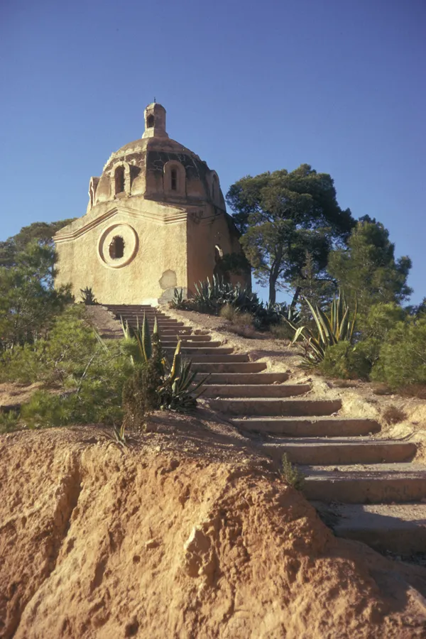
Sig (Arabic: سيق Sīq; called Saint-Denis-de-Sig under French rule; Latin: Tasacora) is a town in northwestern Algeria. Formerly located in Oran Province and now located in Mascara Province, north-western Algeria. Its population was 61,373 in 2008.
The town's public garden is on the bank of the Sig River just downRead more
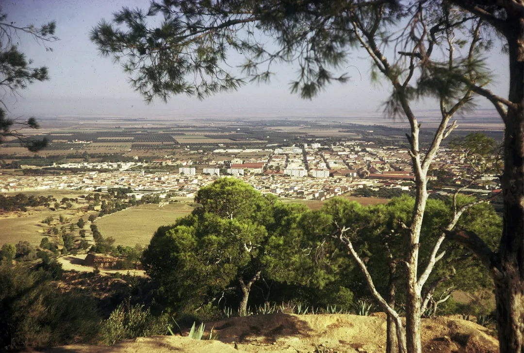
stream the confluence of the le-Mebtoûh and the Matarah. Sig is surrounded by fertile land irrigated by the Barrages des Cheurfas (dams) 25 kilometres (16 mi) upstream with the overflow stored in the Petit Barrage (little dams) 3.2 kilometres (2.0 mi) upstream from the town. The local land supports the growing of olives, cotton, flax, grains, tobacco, and wine, much of which is processed locally and exported. The other local industry is mineral mining, primarily for diatomite.
Sig is located about 29 kilometres (18 mi) south the Gulf of Arzew, separated by the Sig plains and north-west of Mount Touakas (349 metres (1,145 ft) high). Sig is about 44 kilometres (27 mi) east of Oran and 450 kilometres (280 mi) from Algiers. The temperatures usually rise from May to the end of August.
Where to Stay in Sig
Compare prices across Booking.com, Airbnb, Expedia, and more. Select your dates to see availability.
Filter presets
Pick your must-haves once: provider links open pre-filtered. Each filter lists which sites it applies to.
Compare before you book!
Prices can vary significantly between platforms. We recommend checking at least 2-3 sites to find the best deal for your stay in Sig.
Explore the Area
Discover famous landmarks, scenic roads, and more near Sig.
Loading map...
Frequently Asked Questions
Where is Sig?
Sig is in Mascara, Algeria, about 25 km from Mohammadia.
Road trip
Drive to Sig
Add it as a stop and the planner works out the driving, the nights and what's worth seeing on the way.
Start planningWhat's nearby?
Swipe through places to go
Places within a drive of Sig. Keep the ones you like and add them to your trip.
Explore now
Quick Information
- Population
- 61,373
- Continent
- Africa
- Country
- Algeria
- Region
- Mascara
- Timezone
- Africa/Algiers
- Coordinates
- 35.5283, -0.1937
Tags
Nearby Destinations
Other places to explore near Sig.
Your trip starts here
Plan a road trip from Sig.
Pick the days, drop in the stops, and share it with whoever's coming.