

castle
Chateau du Haut-Koenigsbourg
A towering medieval fortress restored by Kaiser Wilhelm II, commanding panoramic views over the Alsatian plain from its Vosges mountain perch.
8 km · about 15 min drive
Grand Est, France · Europe
Sélestat works well as a base: 5 minutes from Châtenois, 13km from Route des Vins d'Alsace.
Sélestat is in Grand Est, France, with about 19,000 people. You drive on the right here. The nearest town is Châtenois, about 4 km away.
Sélestat (French: [selɛsta]; Alsatian: Schlettstàdt; German: Schlettstadt) is a commune in the Grand Est region of France. An administrative division (sous-préfecture) of the Bas-Rhin department, the town lies on the Ill river, 17 kilometres (11 mi) from the Rhine and the German border. Sélestat is located between theRead more
largest communes of Alsace, Strasbourg and Mulhouse. In 2023, Sélestat had a total population of 19,589.
First mentioned in the 8th century, Sélestat later became a free imperial city of the Holy Roman Empire and prospered as a member of the Décapole. During the Renaissance, it was a noted centre of humanism. Sélestat's fortunes declined amid the turmoil of the Reformation and experienced constant warfare. Following the Peace of Westphalia in 1648, it was formally annexed by France, under which its decline continued though it remained a town of strategic importance.
Sélestat's city walls, reconstructed by Vauban in the late 17th century, were demolished in 1874 after the town (as part of Alsace–Lorraine) was annexed by the German Empire. It became French again after the First World War, was again (informally) annexed by Germany during the Second World War, before finally returning to France. Since 1945, Sélestat has experienced steady growth and become a regional industrial centre and commercial hub.
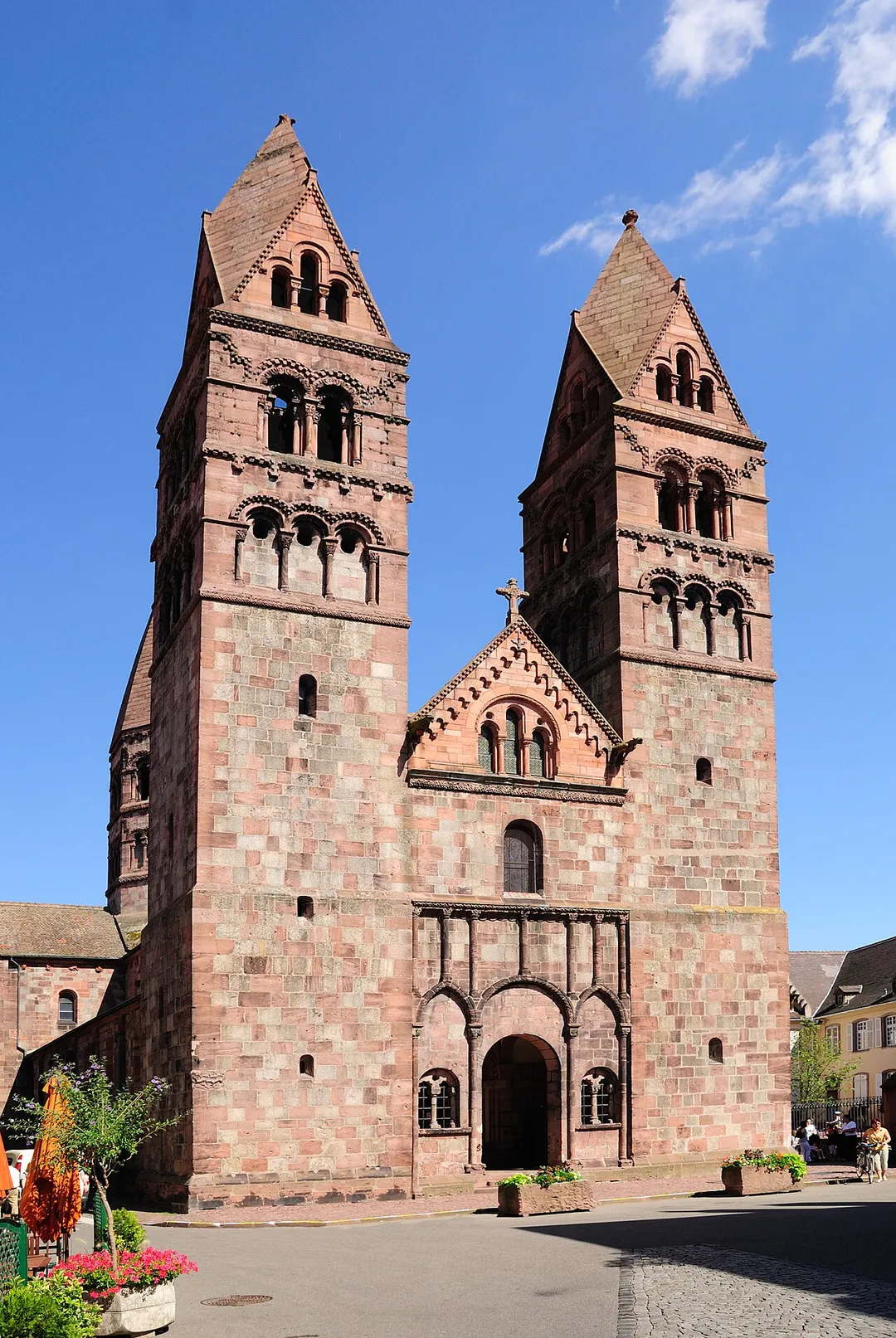
Sélestat's well-preserved old town features a distinct blend of French and German cultural heritage and is site to numerous architectural landmarks from the Middle Ages and Renaissance. The Humanist Library, inscribed by UNESCO in its Memory of the World Register, houses one of the oldest and most homogeneous collections of medieval and Renaissance works in Europe.
Compare prices across Booking.com, Airbnb, Expedia, and more. Select your dates to see availability.
Pick your must-haves once: provider links open pre-filtered. Each filter lists which sites it applies to.
Compare before you book!
Prices can vary significantly between platforms. We recommend checking at least 2-3 sites to find the best deal for your stay in Sélestat.
Discover famous landmarks, scenic roads, and more near Sélestat.
Within an hour or so of Sélestat: Chateau du Haut-Koenigsbourg (8 km), Route des Vins d'Alsace (13 km), Riquewihr (15 km), Alsace Wine Route (15 km).
The nearest famous roads are Route des Vins d'Alsace, Alsace Wine Route and Route des Crêtes (Vosges).
Sélestat is in Grand Est, France, about 4 km from Châtenois.
Road trip
Add it as a stop and the planner works out the driving, the nights and what's worth seeing on the way.
Start planningSwipe through places to go
Places within a drive of Sélestat. Keep the ones you like and add them to your trip.
Essential numbers in France
Carrying a warning triangle and hi-vis vest in your vehicle is mandatory. Motorway emergency phones connect to official breakdown services only.
Full driving guide for France8 notable places within an hour's drive.
castle
A towering medieval fortress restored by Kaiser Wilhelm II, commanding panoramic views over the Alsatian plain from its Vosges mountain perch.
8 km · about 15 min drive
famous road
A 170 km wine road threading flower-decked villages and vine-clad hills below the Vosges mountains.
13 km · about 25 min drive
landmark
One of the most beautiful villages in France, a perfectly preserved medieval wine village enclosed within 16th-century ramparts.
15 km · about 30 min drive
famous road
A 170-kilometer scenic wine road winding through vine-covered hills and storybook villages from Marlenheim to Thann.
15 km · about 30 min drive
landmark
Half-timbered wine village on the Alsace Wine Route, voted France's favourite village in 2017, with a fortified medieval bridge over the Weiss and a ruined imperial castle above the vines.
19 km · about 20 min drive
landmark
Germany's largest theme park with over 100 rides across 18 European-themed areas in the Black Forest region.
20 km · about 25 min drive
scenic viewpoint
Clifftop abbey at 764 m on a Vosges spur, Alsace's holiest site, with terrace views across the Rhine plain and the mysterious 10-km 'Pagan Wall' megalithic enclosure in the woods below.
20 km · about 25 min drive
landmark
A fairy-tale Alsatian town with brilliantly colored half-timbered houses along the canals of its 'Little Venice' quarter.
21 km · about 25 min drive
April to October
Other places to explore near Sélestat.
Your trip starts here
Pick the days, drop in the stops, and share it with whoever's coming.