PYRTPlan Your Road Trips
Create TripCommunityMerchandise
PYRTPlan Your Road Trips
Create TripCommunityMerchandise
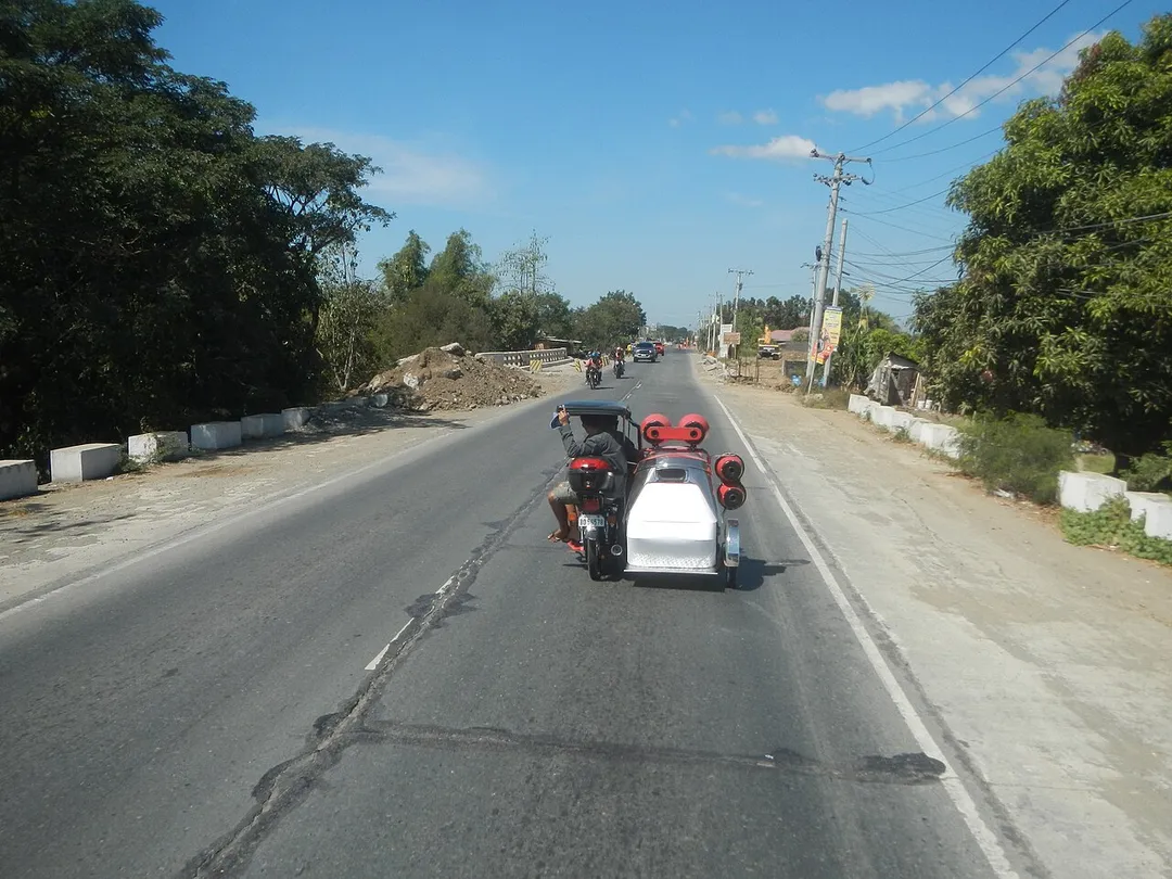
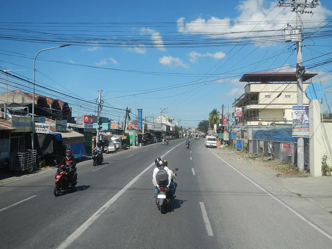
Pan-Philippine Highway Pan-Philippine Highway (Cagayan Valley Road, Santa Rosa, Nueva Ecija section) Barangay Rizal (Poblacion) 15°24'57"N 120°57'36"E and  Barangay 15°25'19"N 120°57'24"E Cojuanco (Poblacion), corner Rizal Street 15°29'23"N 120°57'49"E Santa Rosa, Nueva Ecija (Note: Judge Florentino Floro, the owner, to repeat, Donor Florentino Floro of all these photos hereby donate gratuitously, freely and unconditionally Judge Floro all these photos to and for Wikimedia Commons, exclusively, for public use of the public domain, and again without any condition whatsoever).
Pan-Philippine Highway Pan-Philippine Highway (Cagayan Valley Road, Santa Rosa, Nueva Ecija section) Cabanatuan City, Nueva Ecija bounded by Barangay Rizal (Poblacion) 15°24'57"N 120°57'36"E and  Barangay 15°25'19"N 120°57'24"E Cojuanco (Poblacion), corner Rizal Street 15°29'23"N 120°57'49"E Santa Rosa, Nueva Ecija (Note: Judge Florentino Floro, the owner, to repeat, Donor Florentino Floro of all these photos hereby donate gratuitously, freely and unconditionally Judge Floro all these photos to and for Wikimedia Commons, exclusively, for public use of the public domain, and again without any condition whatsoever).
Campeonato de Futbol entre Instituciones Educativas del Caserío Santa Rosa y el Caserío 7 de Junio por le 57 aniversario del Caserío Santa Rosa
Photo by Judgefloro
Destinations
Home›Destinations›Santa Rosa Treinta
North AmericaMexicoMorelos

Santa Rosa Treinta

Morelos, Mexico · North America

About Santa Rosa Treinta

Santa Rosa Treinta sits on the route: 10 minutes from Temimilcingo, 43km from Malinalco.

Santa Rosa Treinta is in Morelos, Mexico, with about 17,000 people. You drive on the right here. The nearest town is Temimilcingo, about 4 km away.

Where to Stay in Santa Rosa Treinta

Compare prices across Booking.com, Airbnb, Expedia, and more. Select your dates to see availability.

Filter presets

Pick your must-haves once: provider links open pre-filtered. Each filter lists which sites it applies to.

Booking.comExpediaTripAdvisorHotels.comAgodaAirbnb

Compare before you book!

Prices can vary significantly between platforms. We recommend checking at least 2-3 sites to find the best deal for your stay in Santa Rosa Treinta.

Explore the Area

Discover famous landmarks, scenic roads, and more near Santa Rosa Treinta.

Loading map...
Open in Google Maps

Frequently Asked Questions

What is there to see near Santa Rosa Treinta?

Within an hour or so of Santa Rosa Treinta: Tepoztlán (33 km), Malinalco (43 km), Taxco (47 km).

Are there any good drives near Santa Rosa Treinta?

The nearest famous roads are Paso de Cortés.

Where is Santa Rosa Treinta?

Santa Rosa Treinta is in Morelos, Mexico, about 4 km from Temimilcingo.

Road trip

Drive to Santa Rosa Treinta

Add it as a stop and the planner works out the driving, the nights and what's worth seeing on the way.

Start planning

What's nearby?

Swipe through places to go

Places within a drive of Santa Rosa Treinta. Keep the ones you like and add them to your trip.

Explore now

Quick Information

Population
16,691
Continent
North America
Country
Mexico
Region
Morelos
Timezone
America/Mexico_City
Coordinates
18.7003, -99.1836

Emergency & Services

Essential numbers in Mexico

Police
911
Ambulance
911
Fire
911
Driving side
right

Green Angels (free tourist roadside assistance on federal highways): 078.

Full driving guide for Mexico

Tags

North AmericaMexicoMorelosTown

Worth the detour from Santa Rosa Treinta

3 notable places within an hour's drive.

landmark

Tepoztlán

A Morelos town under sheer volcanic cliffs, with a hilltop 13th-century pyramid to the pulque god reached by a steep hour's climb, a fortress-like Dominican convent, and a market known for exotic ice creams.

33 km · about 40 min drive

ancient ruins

Malinalco

Site of the Cuauhcalli, or House of Eagles: one of the very few temples in the Americas carved directly out of solid bedrock, reached by 400 steps up the Hill of the Idols above a quiet colonial town.

43 km · about 50 min drive

landmark

Taxco

A hillside silver-mining town with winding cobblestone streets, baroque Santa Prisca church, and centuries of silversmithing tradition.

47 km · about 55 min drive

Driving roads near Santa Rosa Treinta

  • 71 kmPaso de CortésThe 3,600-m saddle between the volcanoes Popocatépetl and Iztaccíhuatl, reached by a paved mountain road from Amecameca: the route Cortés marched into the Valley of Mexico in 1519.

When to drive here

Year-round

Tropical latitude: plan around the wet season rather than temperature.

Nearby Destinations

Other places to explore near Santa Rosa Treinta.

Zacatepec

🇲🇽 Mexico

5 km awayPop. 21,586

Xoxocotla

🇲🇽 Mexico

7 km awayPop. 21,074

Galeana

🇲🇽 Mexico

8 km awayPop. 10,726

Tlaquiltenango

🇲🇽 Mexico

8 km awayPop. 18,334

Jojutla

🇲🇽 Mexico

10 km awayPop. 18,867

Xochitepec

🇲🇽 Mexico

10 km awayPop. 19,164

Tlatenchi

🇲🇽 Mexico

12 km awayPop. 5,555

Coatetelco

🇲🇽 Mexico

15 km awayPop. 9,094

Plan a trip around Santa Rosa Treinta

North America road trip planner

Your trip starts here

Plan a road trip from Santa Rosa Treinta.

Pick the days, drop in the stops, and share it with whoever's coming.

Start planning
PYRT

The ultimate road trip planning platform. Discover 150,000+ destinations worldwide, plan scenic routes, and create unforgettable adventures.

Inspiration

  • Discover Trips
  • Travel Guides
  • Community

The Product

  • Calendar Planner
  • Integrations
  • How It Works
  • Collaboration Mode
  • Get the App
  • Merchandise: PYRT Supply Co.
  • Become a Creator
  • Trip Marketplace

Plan Your Trip

  • Road Trip Planner
  • Famous Routes
  • Drive Times & Distances
  • Planners by Country
  • Best Road Trip Planner App
  • Discover Road Trips
  • Events
  • Travel Guides
  • How It Works
  • My Trips
  • Community Groups

Company

  • Terms of Service
  • Privacy Policy
  • About PYRT
  • Support
  • Contact Us
  • Sign In
  • Create Account

© 2026 Plan Your Road Trips. All rights reserved.

•[email protected]
Data sources:GeoNames (CC BY 4.0)•Wikimedia Commons (CC BY-SA)•Mapbox•Photography: George Lawrence