

landmark
San Pedro La Laguna
A backpacker and artist hub on Lake Atitlán's shores beneath San Pedro Volcano, known for Spanish schools and Tz'utujil Maya culture.
15 km · about 30 min drive
Sololá, Guatemala · North America
Santa Catarina Ixtahuacán is worth a stop: 10 minutes from Nahualá, 22km from Lake Atitlan.
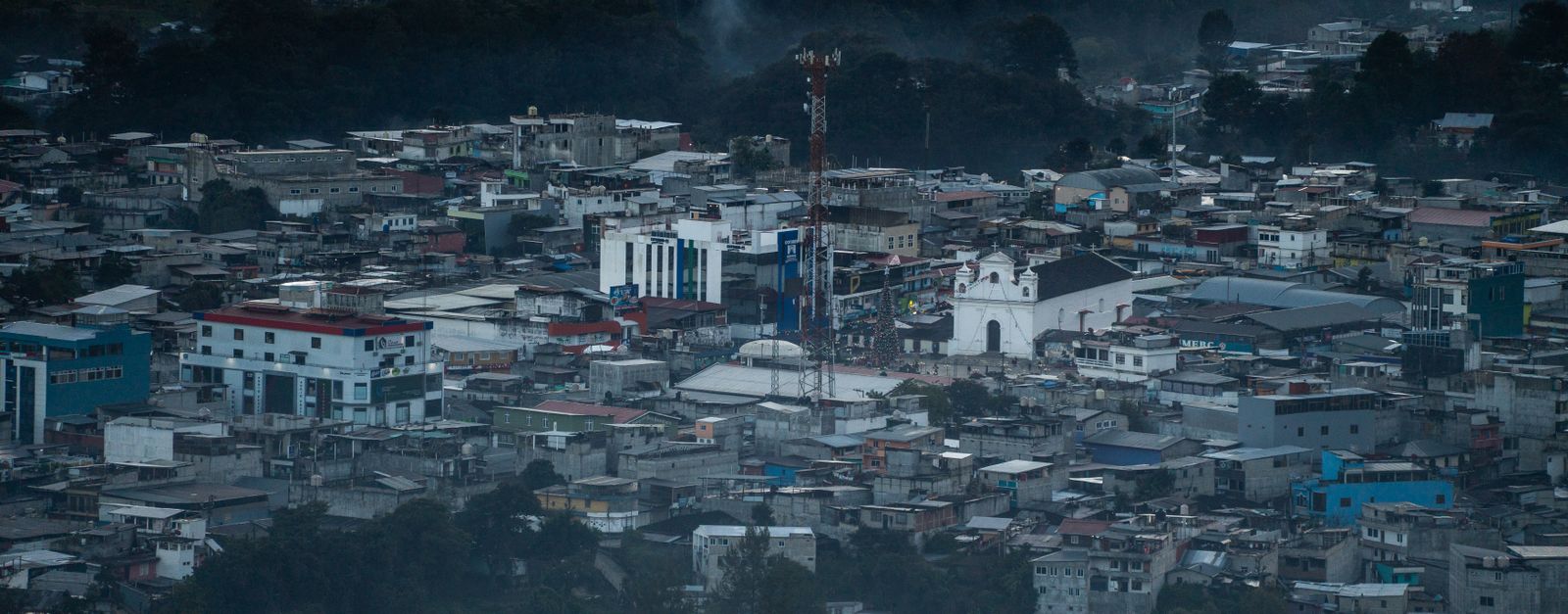
Santa Catarina Ixtahuacán is in Sololá, Guatemala, with about 15,000 people. The nearest town is Nahualá, about 7 km away.
Santa Catarina Ixtahuacan is a municipality in the Sololá department of Guatemala. It is located at about 2,300 metres (7,500 ft) in altitude in the steep mountains of the Sierra Madre range, descending from the western highlands to the southern coastal plain. The indigenous language is Kʼicheʼ. The town experiencedRead more
large landslides during hurricane Mitch (1998); a year after this catastrophe, many residents moved to higher ground and founded the village of Nueva Santa Catarina Ixtahuacan, in territory called Chwi Pataan or “above the responsibility/duty,”within the independent township of Nahualá, and with private land plots owned principally by Nahualeños prior to 2005.
Ixtahuacanecos have claimed since at least 2000 that they had only re-settled highland territory that Ixtahuacan had owned since time immemorial, and where they claim Ixtahuacaneco ancestors had lived prior to the Spanish Invasion. Nonetheless, the Título Cristobal Ramirez, a land title written in Totonicapan in the 16th century, makes clear that the entire highland area south of Totonicapan, including Chwi Pataan, belonged to the "navalak tak vinak" (or "spirited / magical people") of Nahualá, who are identified as Kaqoj Tamub’ sub-nation of the Kʼicheʼ. The Kaqoj (lit. 'red lion') belonged to a different parcialidad from that which controlled Viejo Ixtahuacan prior to the Spanish invasion, according to paragraph 39 of the Annals of the Cakchiquels, which identifies the people living bear the mountain Kaqix Kan, which rises above Ixtahuacan Viejo, as "Iqomaq'i'", a name that surely corresponds to the Ekomaq' Tamub' sub-nation, who lived in the valley south of Nahualá, among other places.
Compare prices across Booking.com, Airbnb, Expedia, and more. Select your dates to see availability.
Pick your must-haves once: provider links open pre-filtered. Each filter lists which sites it applies to.
Compare before you book!
Prices can vary significantly between platforms. We recommend checking at least 2-3 sites to find the best deal for your stay in Santa Catarina Ixtahuacán.
Discover famous landmarks, scenic roads, and more near Santa Catarina Ixtahuacán.
Within an hour or so of Santa Catarina Ixtahuacán: San Pedro La Laguna (15 km), Lake Atitlan (22 km), Chichicastenango Market (31 km).
Santa Catarina Ixtahuacán is in Sololá, Guatemala, about 7 km from Nahualá.
Road trip
Add it as a stop and the planner works out the driving, the nights and what's worth seeing on the way.
Start planningSwipe through places to go
Places within a drive of Santa Catarina Ixtahuacán. Keep the ones you like and add them to your trip.
3 notable places within an hour's drive.
landmark
A backpacker and artist hub on Lake Atitlán's shores beneath San Pedro Volcano, known for Spanish schools and Tz'utujil Maya culture.
15 km · about 30 min drive
natural wonder
A breathtaking volcanic lake surrounded by three towering volcanoes and traditional Mayan villages, often called the most beautiful lake in the world.
22 km · about 25 min drive
landmark
Central America's largest indigenous market held every Thursday and Sunday, overflowing with textiles, masks, flowers, and Maya rituals.
31 km · about 35 min drive
Year-round
Tropical latitude: plan around the wet season rather than temperature.
Other places to explore near Santa Catarina Ixtahuacán.
Your trip starts here
Pick the days, drop in the stops, and share it with whoever's coming.