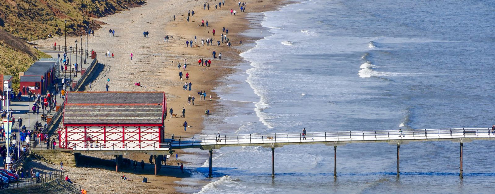
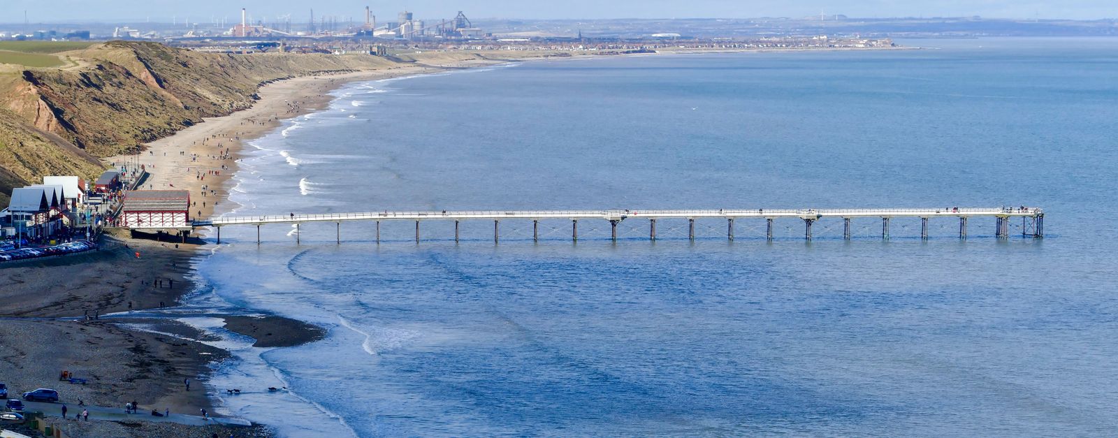
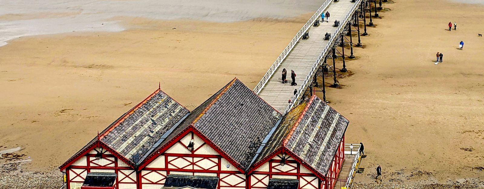
Saltburn-by-the-Sea works well as a base: 10 minutes from New Marske, 24km from North York Moors National Park.
Saltburn-by-the-Sea is in England, United Kingdom, with about 6,000 people. You drive on the left here. The nearest town is New Marske, about 4 km away.
Saltburn-by-the-Sea, commonly referred to as Saltburn, is a seaside town in the civil parish of Saltburn, Marske and New Marske, in the Redcar and Cleveland unitary authority, North Yorkshire, England. It lies 12 miles (19 km) south-east of Hartlepool and 5 miles (8 km) south-east of Redcar, within the historicRead more boundaries of the North Riding of Yorkshire and on the Cleveland Way long distance footpath.
The development of Saltburn was driven by the discovery of ironstone in the Cleveland Hills and building of railways to transport the minerals.
Within an hour or so of Saltburn-by-the-Sea: Staithes (12 km), Roseberry Topping (12 km), Runswick Bay (16 km), North York Moors National Park (24 km).
Are there any good drives near Saltburn-by-the-Sea?
The nearest famous roads are Rosedale Chimney Bank, B6270 Swaledale and Buttertubs Pass.
Where is Saltburn-by-the-Sea?
Saltburn-by-the-Sea is in England, United Kingdom, about 4 km from New Marske.
Road trip
Drive to Saltburn-by-the-Sea
Add it as a stop and the planner works out the driving, the nights and what's worth seeing on the way.
Former fishing village of red-roofed cottages stacked into a cleft in the North Yorkshire cliffs, where Captain Cook worked as a grocer's boy. Park at the top and walk down: the harbour view from Cowbar Nab is the classic shot.
12 km · about 25 min drive
scenic viewpoint
Roseberry Topping
A distinctive half-cone hill on the edge of the North York Moors, its shape the result of a 1912 landslip caused by mining.
12 km · about 20 min drive
beach
Runswick Bay
A sheltered cove of red-roofed cottages tumbling down the cliff to a sandy beach, popular for fossil hunting.
16 km · about 30 min drive
national park
North York Moors National Park
Vast expanse of heather moorland turning purple in August, with deep valleys, a dramatic coastline and the historic North Yorkshire Moors Railway.
24 km · about 25 min drive
restaurant
Magpie Café
Whitby's harbourside fish-and-chip institution in a black-and-white 1750s merchant's house, serving fish landed yards away since 1939. The queue down Pier Road is part of the ritual.
25 km · about 30 min drive
ancient ruins
Whitby Abbey
Haunting Gothic ruins crowning the East Cliff above Whitby harbour, inspiring Bram Stoker's Dracula and reached by 199 stone steps.
26 km · about 30 min drive
film location
Goathland Station (Hogsmeade Station)
This preserved North Yorkshire Moors Railway station was Hogsmeade Station in Harry Potter and the Philosopher's Stone, where students arrive by steam train.
26 km · about 30 min drive
film location
North Yorkshire Moors Railway (Hogwarts Express line)
The heritage line between Pickering and Grosmont carried the Hogwarts Express in the early films; steam services still run the route.
26 km · about 30 min drive
Driving roads near Saltburn-by-the-Sea
6 named roads, passes and coastal drives within 100km.
Right hereRoseberry ToppingA distinctive half-cone hill on the edge of the North York Moors, its shape the result of a 1912 landslip caused by mining.
27 kmRosedale Chimney BankOne of England's steepest roads, hitting 1-in-3 (33%) as it climbs from Rosedale Abbey onto the North York Moors past old ironstone kilns. A rite of passage for drivers and cyclists; caravans are banned.
42 kmSutton BankA steep escarpment with a 1-in-4 hairpin climb and a view James Herriot called 'the finest in England', looking over the Vale of York.
75 kmB6270 SwaledaleThe narrow dale road from Richmond to Nateby past Gunnerside and Keld, drystone walls and barns the whole way.