
landmark
Hollókő
A UNESCO-preserved Palóc village of whitewashed houses with wooden balconies, famous for its traditional Easter Festival celebrations.
20 km · about 25 min drive
Nógrád, Hungary · Europe
Salgótarján is worth a stop: 15 minutes from Kazár, 45km from Szalajka Valley & Fátyol Waterfall.
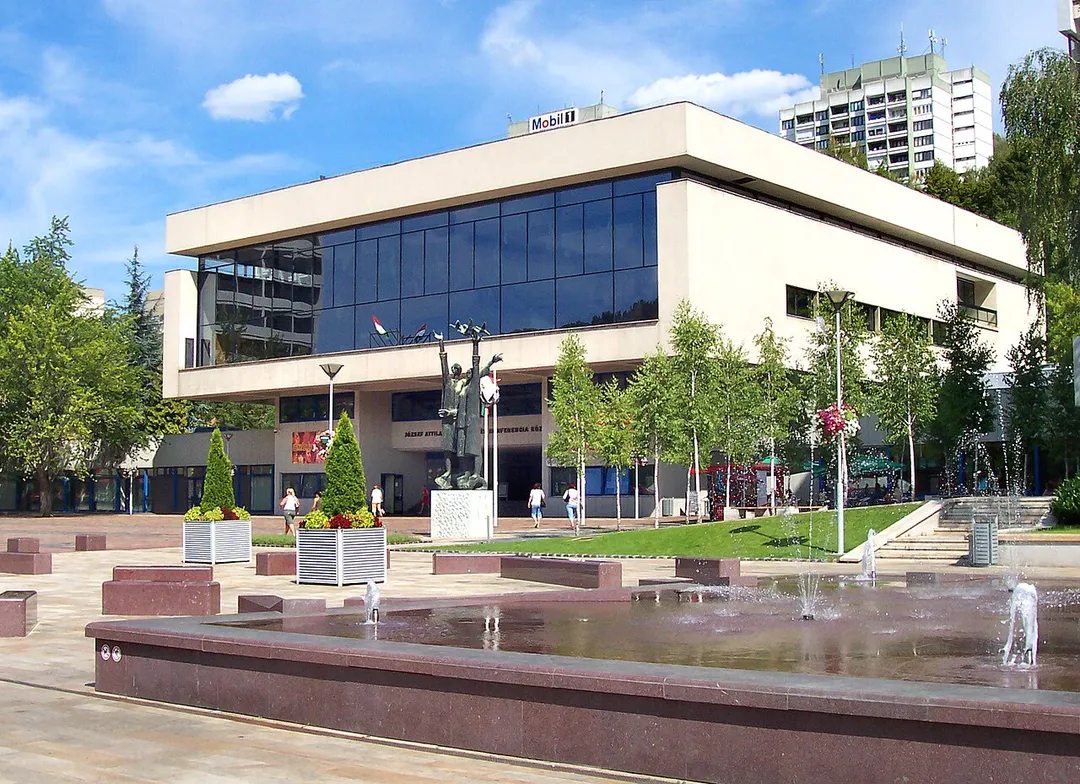
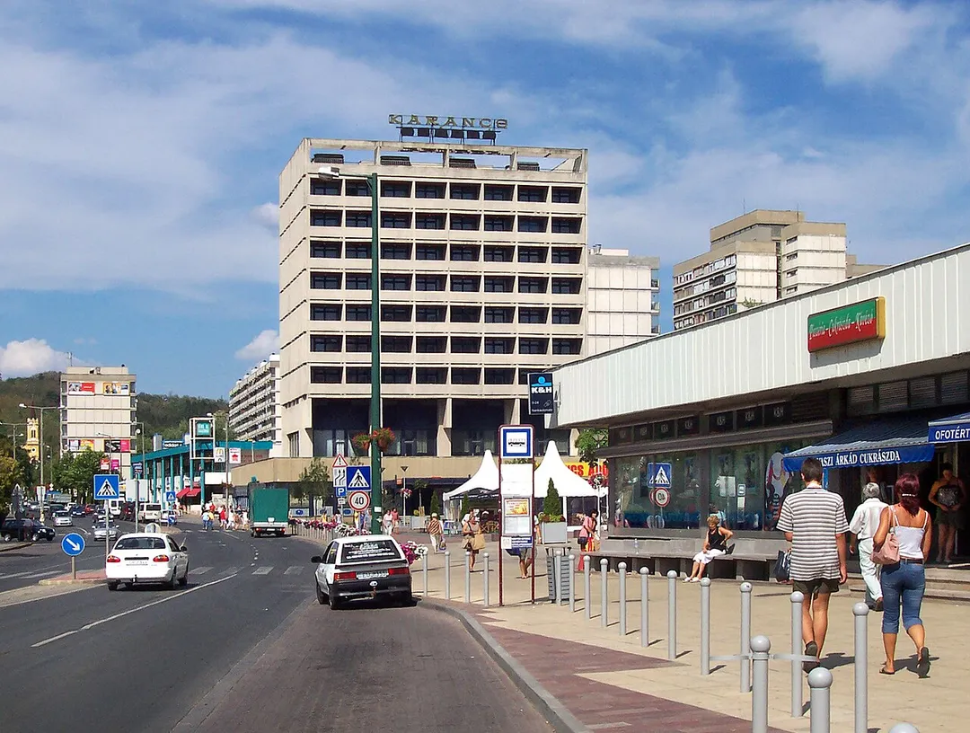
Salgótarján is in Nógrád, Hungary, with about 35,000 people. You drive on the right here. The nearest town is Kazár, about 7 km away.
Salgótarján (Hungarian pronunciation: [ˈʃɒlɡoːtɒrjaːn]; Slovak: Šalgotarján, German: Schalgau) is a city with county rights in Hungary, the capital of Nógrád County, north-eastern Hungary, making it the third least populous county capital. The nearby Salgó Castle is a well-known tourist attraction.
Compare prices across Booking.com, Airbnb, Expedia, and more. Select your dates to see availability.
Pick your must-haves once: provider links open pre-filtered. Each filter lists which sites it applies to.
Compare before you book!
Prices can vary significantly between platforms. We recommend checking at least 2-3 sites to find the best deal for your stay in Salgótarján.
Discover famous landmarks, scenic roads, and more near Salgótarján.
Within an hour or so of Salgótarján: Hollókő (20 km), Kekesteto (29 km), Szalajka Valley & Fátyol Waterfall (45 km), Eger Castle (48 km).
The nearest famous roads are Certovica Pass, Donovaly Pass and Cesta Slobody (Freedom Road).
Salgótarján is in Nógrád, Hungary, about 7 km from Kazár.
Road trip
Add it as a stop and the planner works out the driving, the nights and what's worth seeing on the way.
Start planningSwipe through places to go
Places within a drive of Salgótarján. Keep the ones you like and add them to your trip.
Essential numbers in Hungary
e-vignette required for motorways. Zero alcohol limit for drivers.
Full driving guide for Hungary5 notable places within an hour's drive.
landmark
A UNESCO-preserved Palóc village of whitewashed houses with wooden balconies, famous for its traditional Easter Festival celebrations.
20 km · about 25 min drive
scenic viewpoint
Hungary's highest point at 1,014 m in the Matra range, reached by a winding forest road to a TV tower lookout: the summit stripe on the asphalt is a beloved photo stop for drivers and cyclists.
29 km · about 35 min drive
waterfall
A limestone valley at Szilvásvárad in the Bükk hills where the Veil Waterfall spills over 17 m of travertine terraces; a narrow-gauge forest railway runs from the village to trout ponds and the falls.
45 km · about 50 min drive
castle
A heroic 16th-century fortress famous for its legendary defense against the Ottoman siege, set above a charming baroque town with thermal baths.
48 km · about 55 min drive
landmark
A complex of Turkish-era and modern thermal baths in the baroque town of Eger, with mineral-rich waters used for healing since Ottoman times.
48 km · about 55 min drive
4 named roads, passes and coastal drives within 150km.
April to October
Other places to explore near Salgótarján.
Your trip starts here
Pick the days, drop in the stops, and share it with whoever's coming.