landmark
Nausicaá – National Sea Centre
Europe's largest aquarium in Boulogne-sur-Mer, France with a stunning open-ocean tank and conservation mission.
6 km · about 10 min drive
Hauts-de-France, France · Europe
Saint-Étienne-au-Mont is worth a stop: 10 minutes from Équihen-Plage, 51km from Baie de Somme.
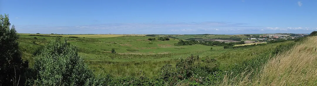
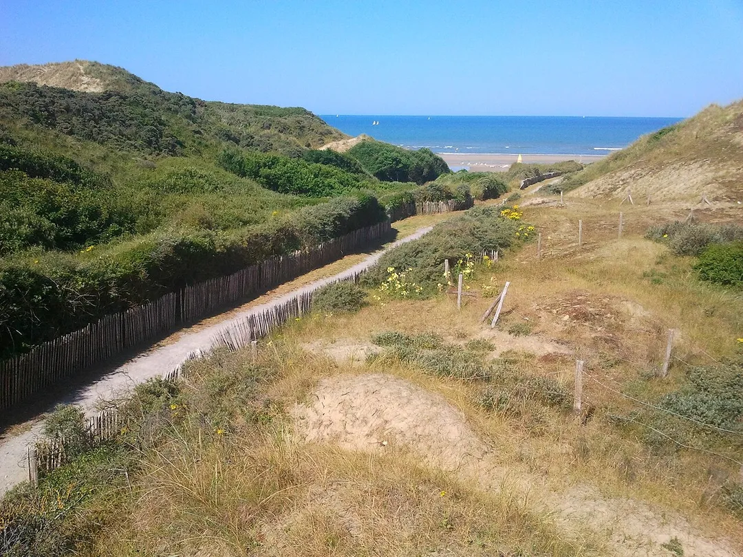
Saint-Étienne-au-Mont is in Hauts-de-France, France, with about 5,100 people. You drive on the right here. The nearest town is Équihen-Plage, about 4 km away.
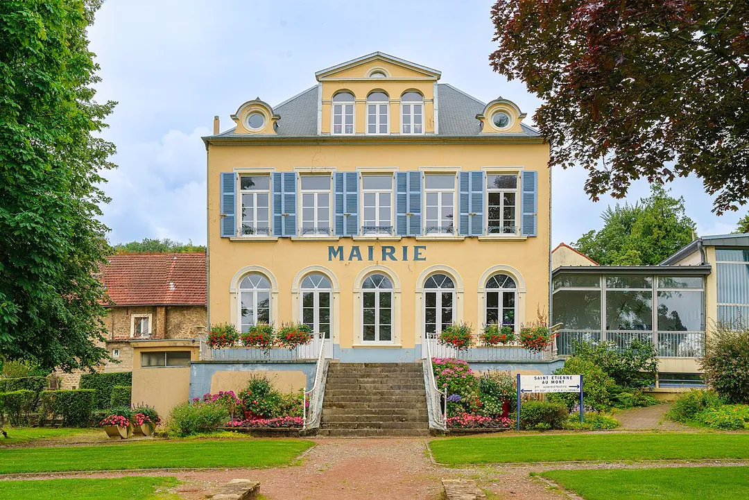
Saint-Étienne-au-Mont (French pronunciation: [sɛ̃t‿etjɛn o mɔ̃]; Picard: Sant-Étienne-au-Mont; obsolete Dutch: Sint-Stevensbergen, lit. 'St. Stephen's Mountains') is a commune in the Pas-de-Calais department in the Hauts-de-France region of France near Boulogne-sur-Mer.
Compare prices across Booking.com, Airbnb, Expedia, and more. Select your dates to see availability.
Pick your must-haves once: provider links open pre-filtered. Each filter lists which sites it applies to.
Compare before you book!
Prices can vary significantly between platforms. We recommend checking at least 2-3 sites to find the best deal for your stay in Saint-Étienne-au-Mont.
Discover famous landmarks, scenic roads, and more near Saint-Étienne-au-Mont.
Within an hour or so of Saint-Étienne-au-Mont: Nausicaá – National Sea Centre (6 km), Cap Gris-Nez (22 km), Cap Blanc-Nez (28 km), Baie de Somme (51 km).
The nearest famous roads are Koninklijke Baan Coast Road and Crystal Palace Circuit.
Saint-Étienne-au-Mont is in Hauts-de-France, France, about 4 km from Équihen-Plage.
Road trip
Add it as a stop and the planner works out the driving, the nights and what's worth seeing on the way.
Start planningSwipe through places to go
Places within a drive of Saint-Étienne-au-Mont. Keep the ones you like and add them to your trip.
Essential numbers in France
Carrying a warning triangle and hi-vis vest in your vehicle is mandatory. Motorway emergency phones connect to official breakdown services only.
Full driving guide for France7 notable places within an hour's drive.
landmark
Europe's largest aquarium in Boulogne-sur-Mer, France with a stunning open-ocean tank and conservation mission.
6 km · about 10 min drive
scenic viewpoint
The closest point in France to England, a windswept headland of cliffs, lighthouse and migrating birds.
22 km · about 25 min drive
scenic viewpoint
Dazzling white chalk cliffs on the Opal Coast with views across the Channel to England on clear days.
28 km · about 30 min drive
natural wonder
A vast shimmering bay of mudflats, seals and salt-marsh: one of France's great natural estuaries.
51 km · about 60 min drive
natural wonder
Iconic chalk cliffs reaching up to 110 meters high along the English Channel, symbolizing Britain for centuries.
54 km · about 65 min drive
castle
A medieval fortress overlooking the English Channel, known as the Key to England due to its strategic defensive significance.
55 km · about 65 min drive
tunnel
50 km tunnel under the English Channel - drive your car on the train
57 km · about 65 min drive
April to October
Other places to explore near Saint-Étienne-au-Mont.
Your trip starts here
Pick the days, drop in the stops, and share it with whoever's coming.