

PYRTPlan Your Road Trips
Create TripCommunityMerchandise
PYRTPlan Your Road Trips
Create TripCommunityMerchandise
Benoît Saint Denis as a purple belt during a Brazilian Jiu Jitsu (BJJ) training session at Jackson Paulo Academy  in September 2019
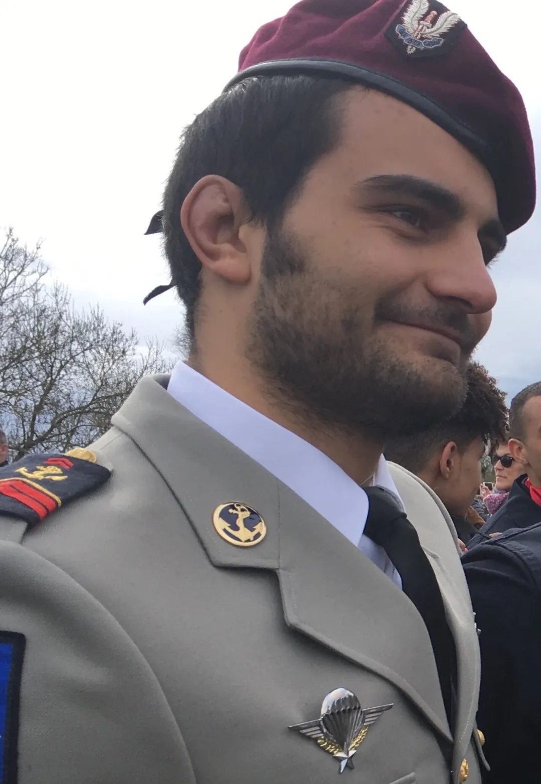
Benoît Saint Denis in Special Forces service dress during a military ceremony on March 30, 2018
Benoît Saint Denis and Joel Alvarez sparring. April 2026
Photo by Gowdu59
Destinations
Home›Destinations›Saint-Denis
EuropeBelgiumWallonia

Saint-Denis

Wallonia, Belgium · Europe

About Saint-Denis

Saint-Denis works well as a base: 5 minutes from Rhisnes, 10km from Citadelle de Namur.

Saint-Denis is in Wallonia, Belgium, with about 1,400 people. You drive on the right here. The nearest town is Rhisnes, about 4 km away.

Where to Stay in Saint-Denis

Compare prices across Booking.com, Airbnb, Expedia, and more. Select your dates to see availability.

Filter presets

Pick your must-haves once: provider links open pre-filtered. Each filter lists which sites it applies to.

Booking.comExpediaTripAdvisorHotels.comAgodaAirbnb

Compare before you book!

Prices can vary significantly between platforms. We recommend checking at least 2-3 sites to find the best deal for your stay in Saint-Denis.

Explore the Area

Discover famous landmarks, scenic roads, and more near Saint-Denis.

Loading map...
Open in Google Maps

Frequently Asked Questions

What is there to see near Saint-Denis?

Within an hour or so of Saint-Denis: Citadelle de Namur (10 km), Citadel of Namur (10 km), Villers Abbey (19 km), Musée Hergé (19 km).

Are there any good drives near Saint-Denis?

The nearest famous roads are Chimay Street Circuit, Baraque de Fraiture and Koninklijke Baan Coast Road.

Where is Saint-Denis?

Saint-Denis is in Wallonia, Belgium, about 4 km from Rhisnes.

Road trip

Drive to Saint-Denis

Add it as a stop and the planner works out the driving, the nights and what's worth seeing on the way.

Start planning

What's nearby?

Swipe through places to go

Places within a drive of Saint-Denis. Keep the ones you like and add them to your trip.

Explore now

Quick Information

Population
1,354
Continent
Europe
Country
Belgium
Region
Wallonia
Timezone
Europe/Brussels
Coordinates
50.5357, 4.7828

Emergency & Services

Essential numbers in Belgium

Police
101
Ambulance
112
Fire
112
All emergencies
112
Driving side
right
Full driving guide for Belgium

Tags

EuropeBelgiumWalloniaTown

Worth the detour from Saint-Denis

8 notable places within an hour's drive.

castle

Citadelle de Namur

One of Europe's mightiest hilltop fortresses guards the confluence of the Sambre and Meuse rivers in Wallonia's capital.

10 km · about 20 min drive

castle

Citadel of Namur

Extensive hilltop fortress at the Sambre-Meuse confluence in Namur, with a scenic road climbing to the ramparts.

10 km · about 20 min drive

ancient ruins

Villers Abbey

The vast romantic ruins of a 12th-century Cistercian abbey, roofless Gothic arches lost in woodland near Brussels.

19 km · about 20 min drive

museum

Musée Hergé

Christian de Portzamparc's angular white museum in Louvain-la-Neuve devoted to Tintin's creator, holding original plates, sketches and the world's largest Hergé collection across eight themed galleries.

19 km · about 20 min drive

landmark

Lion's Mound Waterloo

A grass pyramid topped by a cast-iron lion marks the 1815 battlefield where Napoleon met his final defeat.

31 km · about 35 min drive

castle

Citadelle de Dinant

A cliff-top fortress towering over the Meuse and a riverfront of pastel houses below the bulbous onion-domed church.

32 km · about 35 min drive

castle

Citadel of Dinant

Clifftop fortress above the Meuse at Dinant, reached by 408 steps or a cable car, overlooking the river road.

32 km · about 35 min drive

racetrack

Nivelles-Baulers

A flat, fast circuit that hosted two Belgian Grands Prix in the 1970s before closing in 1981. Much of the abandoned track survives among industrial development, its wide sweeping curves clearly readable from ground level.

34 km · about 40 min drive

Driving roads near Saint-Denis

3 named roads, passes and coastal drives within 150km.

  • 64 kmChimay Street CircuitA Belgian village street circuit running since 1926, still used for historic car and motorcycle racing on closed public roads. Between meetings you can drive the whole flat-out 4km lap through farmland and the town outskirts.
  • 74 kmBaraque de FraitureBelgium's second-highest point at 652 m, a windswept Ardennes plateau crossroads on the N89 with a small ski station and sweeping high-fen scenery.

Driving in Belgium

Drives on
the right
Petrol
~€1.74/litre
Motorway tolls
None

When to drive here

April to October

Nearby Destinations

Other places to explore near Saint-Denis.

Beuzet

🇧🇪 Belgium

3 km awayPop. 1,340

Sauvenière

🇧🇪 Belgium

7 km awayPop. 5,029

Gembloux

🇧🇪 Belgium

7 km awayPop. 21,676

Saint-Servais

🇧🇪 Belgium

8 km awayPop. 9,516

Namur

🇧🇪 Belgium

10 km awayPop. 110,939

Ernage

🇧🇪 Belgium

10 km awayPop. 1,188

Malonne

🇧🇪 Belgium

11 km awayPop. 5,467

Jambes

🇧🇪 Belgium

11 km awayPop. 19,658

Plan a trip around Saint-Denis

Europe road trip planner

Your trip starts here

Plan a road trip from Saint-Denis.

Pick the days, drop in the stops, and share it with whoever's coming.

Start planning
PYRT

The ultimate road trip planning platform. Discover 150,000+ destinations worldwide, plan scenic routes, and create unforgettable adventures.

Inspiration

  • Discover Trips
  • Travel Guides
  • Community

The Product

  • Calendar Planner
  • Integrations
  • How It Works
  • Collaboration Mode
  • Get the App
  • Merchandise: PYRT Supply Co.
  • Become a Creator
  • Trip Marketplace

Plan Your Trip

  • Road Trip Planner
  • Famous Routes
  • Drive Times & Distances
  • Planners by Country
  • Best Road Trip Planner App
  • Discover Road Trips
  • Events
  • Travel Guides
  • How It Works
  • My Trips
  • Community Groups

Company

  • Terms of Service
  • Privacy Policy
  • About PYRT
  • Support
  • Contact Us
  • Sign In
  • Create Account

© 2026 Plan Your Road Trips. All rights reserved.

•[email protected]
Data sources:GeoNames (CC BY 4.0)•Wikimedia Commons (CC BY-SA)•Mapbox•Photography: George Lawrence