
natural wonder
Pen y Garreg Reservoir, Elan Valley
One of the Victorian Elan Valley dams, its overflow curtain of water and island tower forming the classic Elan photograph.
6 km · about 10 min drive
Wales, United Kingdom · Europe
Rhayader works well as a base: 20 minutes from Llandrindod Wells, 6km from Pen y Garreg Reservoir, Elan Valley.
Rhayader is in Wales, United Kingdom, with about 1,800 people. You drive on the left here. The nearest town is Llandrindod Wells, about 11 km away.
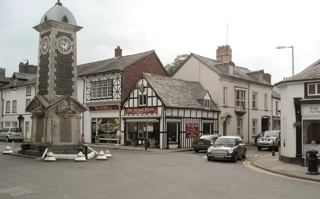
Rhayader (; Welsh: Rhaeadr Gwy; pronounced [ˈr̥əɪadar ˈɡʊi̯]) is a market town and community in Powys, Wales, within the historic county of Radnorshire. The town is 20 miles (32 km) from the source of the River Wye on Plynlimon, the highest point of the Cambrian Mountains, and is located at the junction of the A470Read more
road and the A44 road 13 miles (21 km) north of Builth Wells and 30 miles (48 km) east of Aberystwyth.
The 2011 census recorded the population at 2,088, with 55% of the community having some form of Welsh identity. The community is the largest in Wales by area, with 137.31 km2 (53.02 sq mi). It includes the Elan Valley.
Rhayader holds the record for the lowest-ever temperature recorded in Wales, -23.3 °C on 21 January 1940.
Compare prices across Booking.com, Airbnb, Expedia, and more. Select your dates to see availability.
Pick your must-haves once: provider links open pre-filtered. Each filter lists which sites it applies to.
Compare before you book!
Prices can vary significantly between platforms. We recommend checking at least 2-3 sites to find the best deal for your stay in Rhayader.
Discover famous landmarks, scenic roads, and more near Rhayader.
Within an hour or so of Rhayader: Pen y Garreg Reservoir, Elan Valley (6 km), Elan Valley (7 km), Elan Valley Mountain Road (Rhayader to Aberystwyth) (8 km), Claerwen Reservoir (12 km).
The nearest famous roads are Elan Valley Mountain Road (Rhayader to Aberystwyth), Cwmystwyth Mountain Road and B4574 Devil's Bridge to Cwmystwyth.
Rhayader is in Wales, United Kingdom, about 11 km from Llandrindod Wells.
Road trip
Add it as a stop and the planner works out the driving, the nights and what's worth seeing on the way.
Start planningSwipe through places to go
Places within a drive of Rhayader. Keep the ones you like and add them to your trip.
Essential numbers in United Kingdom
112 also works. NHS non-emergency medical advice: 111. National Highways breakdown assistance on motorways: 0300 123 5000.
Full driving guide for United Kingdom8 notable places within an hour's drive.
natural wonder
One of the Victorian Elan Valley dams, its overflow curtain of water and island tower forming the classic Elan photograph.
6 km · about 10 min drive
landmark
Chain of Victorian dams and reservoirs built to supply Birmingham, their stone spillways thundering after rain, linked by a superb driving road through mid-Wales moorland. International Dark Sky Park with red kites overhead.
7 km · about 15 min drive
famous road
An empty 1930s-built mountain road over the Cambrian desert past Claerwen, with cattle grids and no villages for 20 miles.
8 km · about 15 min drive
natural wonder
The largest of the Elan Valley reservoirs, its 1952 dam faced in stone, with an empty mountain road running west into the Cambrians.
12 km · about 25 min drive
famous road
Wild, lonely mountain road from Rhayader to Aberystwyth over the Cambrian Mountains, passing the Elan Valley dams and old lead mines of Cwmystwyth. Often called one of Britain's remotest drives.
17 km · about 20 min drive
famous road
Rated among Britain's most scenic roads, a narrow climb from the Rheidol gorge onto the Cambrian moors past old lead mines.
18 km · about 20 min drive
mountain pass
Remote 16-mile single-track mountain road from Abergwesyn to Tregaron over the Cambrian Desert, its Devil's Staircase section stacking hairpins at 20%+ gradients. One of the emptiest drives in Britain. No fuel, little signal.
19 km · about 20 min drive
natural wonder
A reservoir near Llanidloes held by Britain's tallest concrete dam, with a scenic loop road and views to Plynlimon.
20 km · about 25 min drive
7 named roads, passes and coastal drives within 60km.
April to October
Other places to explore near Rhayader.
Your trip starts here
Pick the days, drop in the stops, and share it with whoever's coming.