
beach
Playa del Carmen Beach
A lively Riviera Maya beach with soft white sand, warm Caribbean waters, and a vibrant pedestrian strip just steps away.
21 km · about 25 min drive
Quintana Roo, Mexico · North America
Puerto Aventuras is worth a stop: 30 minutes from Akumal, 26km from Cenote Dos Ojos.
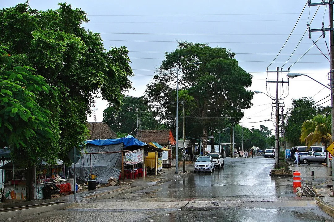
Puerto Aventuras is in Quintana Roo, Mexico, with about 6,000 people. You drive on the right here. The nearest town is Akumal, about 15 km away.
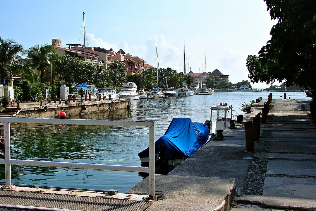
Puerto Aventuras (Spanish pronunciation: ['pweɾto aβen'tuɾas]) is a community located in Solidaridad Municipality, Quintana Roo, Mexico. It had a 2020 census population of 22,878 inhabitants, and is located at an elevation of 9 metres (30 ft) above sea level. It is the second-largest community in SolidaridadRead more
Municipality, after the municipal seat, Playa del Carmen.
Puerto Aventuras is divided into two parts: west of Highway 307 is the residential subdivision, east of Highway 307 along the Caribbean coast is the tourist zone with hotels and resorts, part of the Riviera Maya.
Compare prices across Booking.com, Airbnb, Expedia, and more. Select your dates to see availability.
Pick your must-haves once: provider links open pre-filtered. Each filter lists which sites it applies to.
Compare before you book!
Prices can vary significantly between platforms. We recommend checking at least 2-3 sites to find the best deal for your stay in Puerto Aventuras.
Discover famous landmarks, scenic roads, and more near Puerto Aventuras.
Within an hour or so of Puerto Aventuras: Playa del Carmen Beach (21 km), Carretera Federal 307 (Riviera Maya) (21 km), Cenote Dos Ojos (26 km), Tulum Beach (38 km).
The nearest famous roads are Carretera Federal 307 (Riviera Maya).
Puerto Aventuras is in Quintana Roo, Mexico, about 15 km from Akumal.
Road trip
Add it as a stop and the planner works out the driving, the nights and what's worth seeing on the way.
Start planningSwipe through places to go
Places within a drive of Puerto Aventuras. Keep the ones you like and add them to your trip.
Essential numbers in Mexico
Green Angels (free tourist roadside assistance on federal highways): 078.
Full driving guide for Mexico6 notable places within an hour's drive.
beach
A lively Riviera Maya beach with soft white sand, warm Caribbean waters, and a vibrant pedestrian strip just steps away.
21 km · about 25 min drive
coastal drive
The coastal highway from Cancún through Playa del Carmen and Tulum, linking beaches, cenotes and Maya sites along the Caribbean.
21 km · about 25 min drive
natural wonder
A twin-entrance cenote system with crystal-clear water and an extensive underwater cave network popular for cave diving and snorkeling.
26 km · about 30 min drive
beach
A Caribbean beach beneath ancient Mayan clifftop ruins, blending archaeology with powdery white sand and turquoise sea.
38 km · about 45 min drive
ancient ruins
A walled Maya city perched on dramatic cliffs overlooking the turquoise Caribbean Sea, one of the last cities built and inhabited by the Maya.
38 km · about 45 min drive
ancient ruins
An ancient Maya city hidden deep in the jungle featuring the tallest pyramid in the Yucatán Peninsula, Nohoch Mul at 42 meters.
53 km · about 60 min drive
Year-round
Tropical latitude: plan around the wet season rather than temperature.
Other places to explore near Puerto Aventuras.
Your trip starts here
Pick the days, drop in the stops, and share it with whoever's coming.