scenic viewpoint
The Rumps
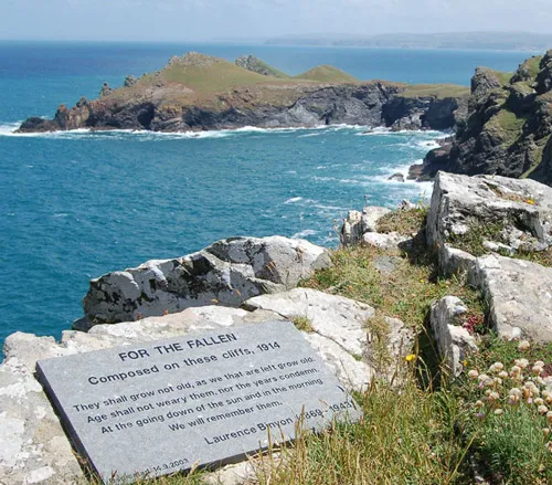
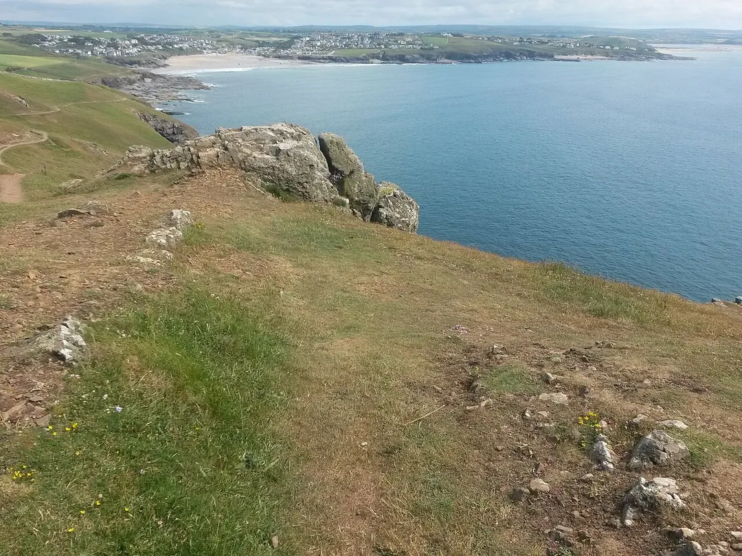
A twin-headed promontory near Polzeath ringed by Iron Age ramparts, with a fine short walk from Pentire Point.
3 km · about 5 min drive
England, United Kingdom · Europe
Polzeath works well as a base: 5 minutes from Padstow, 16km from Tintagel Castle.
Polzeath is in England, United Kingdom, with about 1,400 people. You drive on the left here. The nearest town is Padstow, about 4 km away.
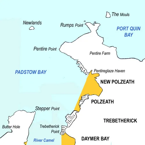
Polzeath (; Cornish: Pollsygh, lit. 'dry pool') is a small seaside resort village in the civil parish of St Minver in Cornwall, England, United Kingdom. It is approximately 6 miles (9.7 km) north west of Wadebridge on the Atlantic coast.
Polzeath has a sandy beach and is popular with holiday-makers and surfers. TheRead more
beach is 1,500 feet (460 m) wide and extends 1,200 feet (370 m) from the seafront at low water; however, most of the sand is submerged at high water. At exceptionally high spring tides the sea floods the car park at the top of the beach.
Polzeath beach is patrolled by lifeguards during the summer and is described on the RNLI website as "a wide, flat beach with some shelter from winds, it sees good quality surf and is quite often extremely crowded".
Dolphins may sometimes be spotted in the bay and the coastline north of Polzeath is a good area for seeing many types of birds, particularly on migration but also including occasional puffins nesting on the offshore islands.
The main street runs along the seafront and has a parade of shops catering for holidaymakers and residents. There are pubs, cafés, restaurants, a caravan site and several camping sites in the immediate area. The road rises up steep hills at both ends of the seafront, towards the village of Trebetherick to the southwest and New Polzeath to the northeast.
Compare prices across Booking.com, Airbnb, Expedia, and more. Select your dates to see availability.
Pick your must-haves once: provider links open pre-filtered. Each filter lists which sites it applies to.
Compare before you book!
Prices can vary significantly between platforms. We recommend checking at least 2-3 sites to find the best deal for your stay in Polzeath.
Discover famous landmarks, scenic roads, and more near Polzeath.
Within an hour or so of Polzeath: The Rumps (3 km), Padstow (4 km), Park Head (11 km), Bedruthan Steps (13 km).
The nearest famous roads are Atlantic Highway (A39), A39 Atlantic Highway (Barnstaple to Bude) and B3306 St Ives to Land's End.
Polzeath is in England, United Kingdom, about 4 km from Padstow.
Road trip
Add it as a stop and the planner works out the driving, the nights and what's worth seeing on the way.
Start planningSwipe through places to go
Places within a drive of Polzeath. Keep the ones you like and add them to your trip.
Essential numbers in United Kingdom
112 also works. NHS non-emergency medical advice: 111. National Highways breakdown assistance on motorways: 0300 123 5000.
Full driving guide for United Kingdom8 notable places within an hour's drive.
scenic viewpoint
A twin-headed promontory near Polzeath ringed by Iron Age ramparts, with a fine short walk from Pentire Point.
3 km · about 5 min drive
landmark
A working fishing harbour on the Camel estuary, transformed into a food destination and the terminus of the Camel Trail.
4 km · about 5 min drive
scenic viewpoint
A National Trust headland just north of Bedruthan Steps with wide views over the stacks and the Atlantic.
11 km · about 20 min drive
scenic viewpoint
Giant rock stacks marching across a wild sandy beach below towering cliffs on the rugged north Cornwall coast.
13 km · about 25 min drive
castle
Dramatic clifftop ruins steeped in Arthurian legend, connected to the mainland by a striking modern footbridge above the Atlantic.
16 km · about 30 min drive
waterfall
A mystical 60-foot waterfall that bores through a holed rock in a fern-draped wooded glen near Tintagel.
17 km · about 20 min drive
scenic viewpoint
The highest point in Cornwall at 420 m, a long granite-topped ridge in the middle of Bodmin Moor.
22 km · about 25 min drive
beach
A wide dune-backed surfing beach with the Gull Rocks offshore, used as a filming location for Poldark.
25 km · about 30 min drive
April to October
Other places to explore near Polzeath.
Your trip starts here
Pick the days, drop in the stops, and share it with whoever's coming.