ancient ruins
Geoglifos de Pintados
Hillside geoglyph field of over 400 figures in the Pampa del Tamarugal, visible from a marked turnoff on Ruta 5.
38 km · about 45 min drive
Tarapacá, Chile · South America
Pica sits on the route: 1 hours from Pozo Almonte, 38km from Geoglifos de Pintados.
Pica is in Tarapacá, Chile, with about 9,300 people. You drive on the right here. The nearest town is Pozo Almonte, about 54 km away.
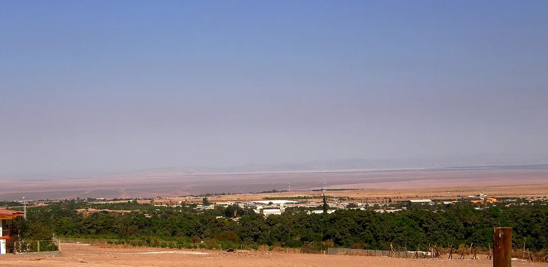
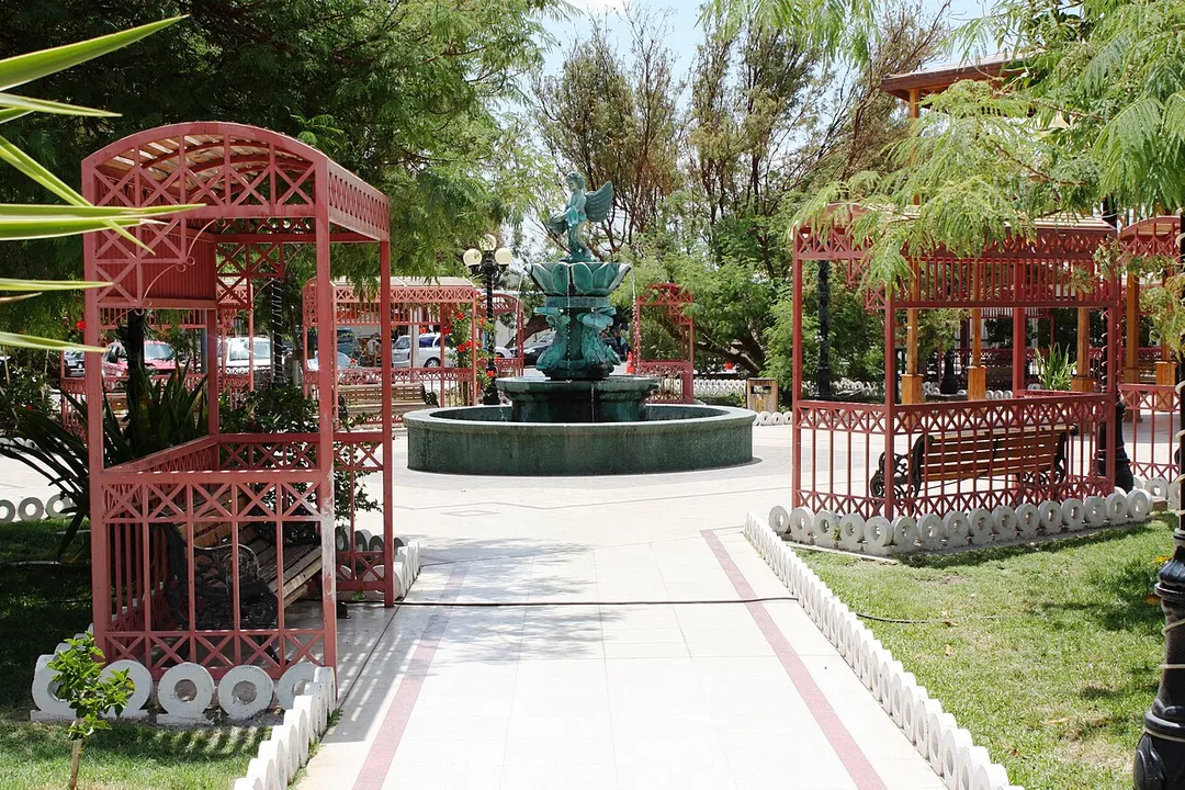
Pica is a Chilean town and commune in Tamarugal Province, Tarapacá Region. Situated in the inland of the Atacama Desert on an oasis, Pica is famous for its small and unusually acidic limes known as Limón de Pica. The town has a communal hot spring with a surface temperature of 40 °C, which makes it a popular bathRead more
place in the middle of the desert. It has hotels and all basic services. The town lies four kilometers to the northeast of the oasis village of Matilla.
Pica has a mild microclimate that does not display the typical high temperature oscillations seen in many of the world's deserts. The settlement has pre-Hispanic origins and served as an important stopover for transit between the coast and the Altiplano during the time of the Inca Empire. Bird mummies of pre-Hispanic origin have been found next to Pica. Pica gained prominence over the course of the 17th, 18th and 19th centuries when it grew in association with important mining cycles of nearby areas. The first mining cycle that benefited Pica was the silver mining of Huantajaya and San Rosa between 1718 and 1790, this was then followed by a cycle of salpeter mining using the paradas method between 1830 and 1870. The town became part of Chile following the War of the Pacific (1879–1883). The Peruvian population of the town and specifically the rich and influential Peruvian families were a major concern for Chilean authorities who wished to Chilenize the area.
Pica had once an extensive irrigation system of puquios, whose shafts are locally known as socavones. In 1918 geologist Juan Brüggen mentioned the existence of 23 socavones in the Pica oasis, yet these have since then been abandoned due to economic and social changes. The socavones transported water from the Pica Aquifer to the oasis. As in many oases one of the biggest challenges for farmers in Pica is the scarcity of water. Most of the farmers in Pica own less than five hectares, and while this size hampers commercialization of products farmers have responded by organising themselves in cooperatives. Six producers, compromising one fifth of the agricultural output of the oasis, are organised in Oasis Pica Coop. This organisation was as of 2019 working to certify products as organic and enforce the appellation control for Limón de Pica. Limón de Pica have had an appellation since 2010.
Compare prices across Booking.com, Airbnb, Expedia, and more. Select your dates to see availability.
Pick your must-haves once: provider links open pre-filtered. Each filter lists which sites it applies to.
Compare before you book!
Prices can vary significantly between platforms. We recommend checking at least 2-3 sites to find the best deal for your stay in Pica.
Discover famous landmarks, scenic roads, and more near Pica.
Within an hour or so of Pica: Geoglifos de Pintados (38 km), Humberstone Saltpeter Works (58 km).
Pica is in Tarapacá, Chile, about 54 km from Pozo Almonte.
Road trip
Add it as a stop and the planner works out the driving, the nights and what's worth seeing on the way.
Start planningSwipe through places to go
Places within a drive of Pica. Keep the ones you like and add them to your trip.
2 notable places within an hour's drive.
ancient ruins
Hillside geoglyph field of over 400 figures in the Pampa del Tamarugal, visible from a marked turnoff on Ruta 5.
38 km · about 45 min drive
museum
Abandoned UNESCO-listed nitrate town in the Atacama beside Ruta 16 east of Iquique, preserved as an open-air museum.
58 km · about 65 min drive
Year-round
Tropical latitude: plan around the wet season rather than temperature.
Other places to explore near Pica.
Your trip starts here
Pick the days, drop in the stops, and share it with whoever's coming.