
landmark
Strépy-Thieu Boat Lift
A colossal 73 m boat elevator on the Canal du Centre, among the tallest in the world, hoisting entire barges in a concrete cathedral visible for miles across Hainaut.
20 km · about 25 min drive
Wallonia, Belgium · Europe
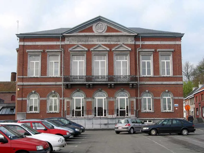
Pâturages is worth a stop: 5 minutes from Quaregnon, 45km from Hallerbos.
Pâturages is in Wallonia, Belgium, with about 8,100 people. You drive on the right here. The nearest town is Quaregnon, about 4 km away.
Compare prices across Booking.com, Airbnb, Expedia, and more. Select your dates to see availability.
Pick your must-haves once: provider links open pre-filtered. Each filter lists which sites it applies to.
Compare before you book!
Prices can vary significantly between platforms. We recommend checking at least 2-3 sites to find the best deal for your stay in Pâturages.
Discover famous landmarks, scenic roads, and more near Pâturages.
Within an hour or so of Pâturages: Strépy-Thieu Boat Lift (20 km), Pairi Daiza (20 km), Canal du Centre Hydraulic Boat Lifts (23 km), Nivelles-Baulers (41 km).
The nearest famous roads are Chimay Street Circuit, Koninklijke Baan Coast Road and Baraque de Fraiture.
Pâturages is in Wallonia, Belgium, about 4 km from Quaregnon.
Road trip
Add it as a stop and the planner works out the driving, the nights and what's worth seeing on the way.
Start planningSwipe through places to go
Places within a drive of Pâturages. Keep the ones you like and add them to your trip.
8 notable places within an hour's drive.
landmark
A colossal 73 m boat elevator on the Canal du Centre, among the tallest in the world, hoisting entire barges in a concrete cathedral visible for miles across Hainaut.
20 km · about 25 min drive
landmark
Belgium's most-visited attraction: a 75-hectare animal park built around a former Cistercian abbey in Hainaut, with full-scale Chinese, Indonesian and Middle Kingdom gardens housing giant pandas, gorillas and elephants.
20 km · about 25 min drive
landmark
Four UNESCO-listed 19th-century hydraulic boat lifts near La Louvière, still standing on the old Canal du Centre.
23 km · about 25 min drive
racetrack
A flat, fast circuit that hosted two Belgian Grands Prix in the 1970s before closing in 1981. Much of the abandoned track survives among industrial development, its wide sweeping curves clearly readable from ground level.
41 km · about 45 min drive
natural wonder
The 'Blue Forest' near Halle carpets itself with millions of wild bluebells under beech trees each spring.
45 km · about 50 min drive
landmark
A grass pyramid topped by a cast-iron lion marks the 1815 battlefield where Napoleon met his final defeat.
49 km · about 55 min drive
historic highway
A Belgian village street circuit running since 1926, still used for historic car and motorcycle racing on closed public roads. Between meetings you can drive the whole flat-out 4km lap through farmland and the town outskirts.
49 km · about 55 min drive
ancient ruins
The vast romantic ruins of a 12th-century Cistercian abbey, roofless Gothic arches lost in woodland near Brussels.
52 km · about 60 min drive
4 named roads, passes and coastal drives within 150km.
April to October
Other places to explore near Pâturages.
Your trip starts here
Pick the days, drop in the stops, and share it with whoever's coming.