PYRTPlan Your Road Trips
Create TripCommunityMerchandise
PYRTPlan Your Road Trips
Create TripCommunityMerchandise
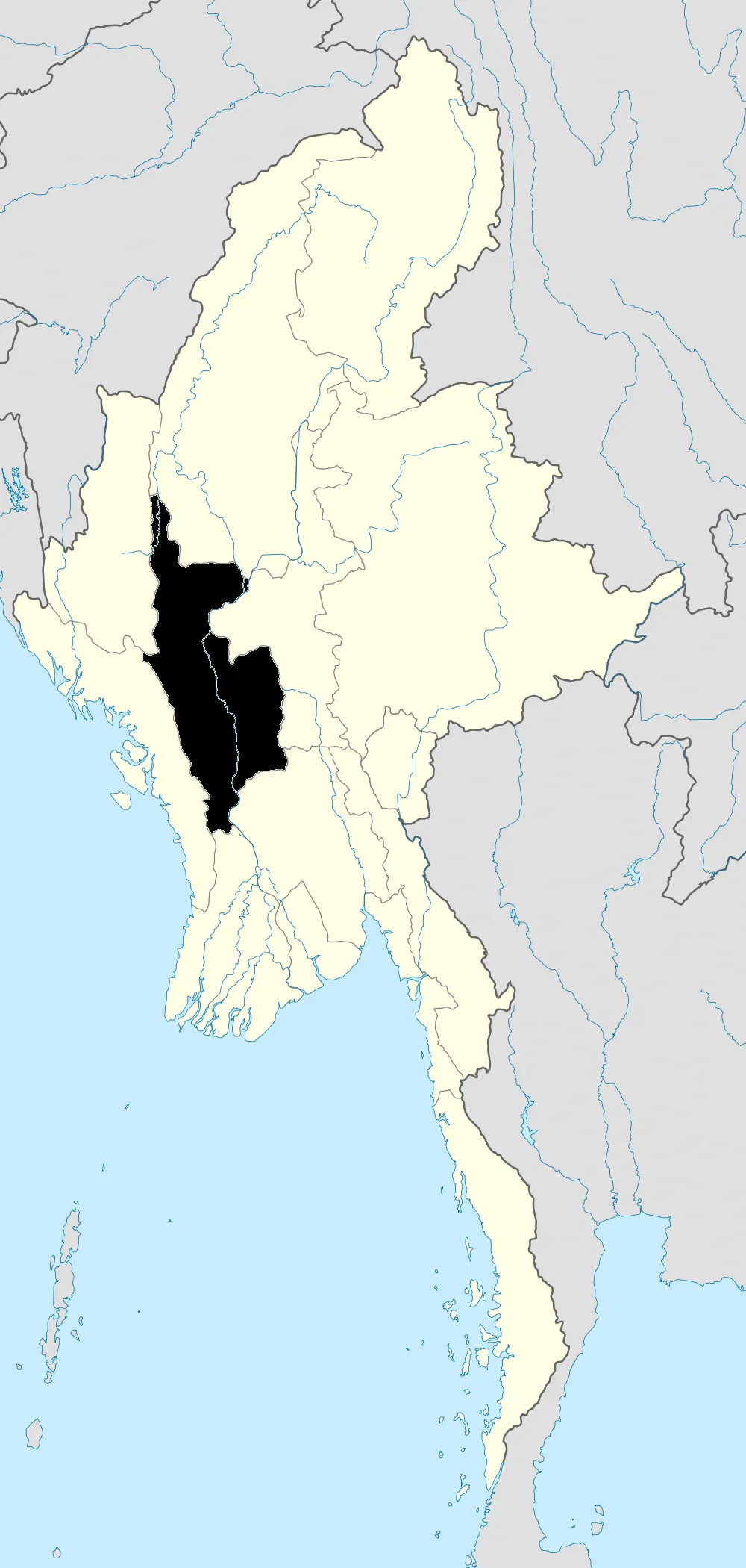
Map showing Magway Region in Burma
IRRAWADDY FERRY JOURNEY RAILWAY BRIDGE NEAR BAGAN STEAMING TO MANDALAY MYANMA FEB2013
Myanmar Railways station map - Division 10 Pakokku
Photo by Dr. Blofeld based on work by Uwe Dedering
Destinations
Home›Destinations›Pakokku
AsiaMyanmarMagway

Pakokku

Magway, Myanmar · Asia

About Pakokku

Pakokku is worth a stop: 25 minutes from Nyaung-U, 29km from Ananda Temple.

Pakokku is in Magway, Myanmar, with about 130,000 people. The nearest town is Nyaung-U, about 24 km away.

Where to Stay in Pakokku

Compare prices across Booking.com, Airbnb, Expedia, and more. Select your dates to see availability.

Filter presets

Pick your must-haves once: provider links open pre-filtered. Each filter lists which sites it applies to.

Booking.comExpediaTripAdvisorHotels.comAgodaAirbnb

Compare before you book!

Prices can vary significantly between platforms. We recommend checking at least 2-3 sites to find the best deal for your stay in Pakokku.

Explore the Area

Discover famous landmarks, scenic roads, and more near Pakokku.

Loading map...
Open in Google Maps

Frequently Asked Questions

What is there to see near Pakokku?

Within an hour or so of Pakokku: Shwezigon Pagoda (25 km), Ananda Temple (29 km), Bagan (30 km).

Where is Pakokku?

Pakokku is in Magway, Myanmar, about 24 km from Nyaung-U.

Road trip

Drive to Pakokku

Add it as a stop and the planner works out the driving, the nights and what's worth seeing on the way.

Start planning

What's nearby?

Swipe through places to go

Places within a drive of Pakokku. Keep the ones you like and add them to your trip.

Explore now

Quick Information

Population
126,938
Continent
Asia
Country
Myanmar
Region
Magway
Timezone
Asia/Yangon
Coordinates
21.3349, 95.0844

Tags

AsiaMyanmarMagwayCity

Worth the detour from Pakokku

3 notable places within an hour's drive.

landmark

Shwezigon Pagoda

A gilded stupa in Bagan that served as the prototype for all Burmese stupas, enshrining relics of the Buddha.

25 km · about 30 min drive

ancient ruins

Ananda Temple

Bagan's best-preserved temple, a masterpiece of Mon architecture featuring four 9.5-meter standing Buddha statues facing the cardinal directions.

29 km · about 35 min drive

ancient ruins

Bagan

A vast archaeological zone with over 2,000 surviving Buddhist temples, pagodas, and monasteries scattered across a dusty plain along the Irrawaddy River.

30 km · about 35 min drive

When to drive here

Year-round

Tropical latitude: plan around the wet season rather than temperature.

Nearby Destinations

Other places to explore near Pakokku.

Nyaung-U

🇲🇲 Myanmar

24 km awayPop. 48,528

Myingyan

🇲🇲 Myanmar

34 km awayPop. 141,713

Sagaing

🇲🇲 Myanmar

111 km awayPop. 78,739

Kyaukse

🇲🇲 Myanmar

113 km awayPop. 50,480

Amarapura

🇲🇲 Myanmar

118 km awayPop. 237,618

Mandalay

🇲🇲 Myanmar

125 km awayPop. 1,208,099

Minbu

🇲🇲 Myanmar

130 km awayPop. 57,342

Pyin Oo Lwin

🇲🇲 Myanmar

162 km awayPop. 117,303

Plan a trip around Pakokku

Asia road trip planner

Your trip starts here

Plan a road trip from Pakokku.

Pick the days, drop in the stops, and share it with whoever's coming.

Start planning
PYRT

The ultimate road trip planning platform. Discover 150,000+ destinations worldwide, plan scenic routes, and create unforgettable adventures.

Inspiration

  • Discover Trips
  • Travel Guides
  • Community

The Product

  • Calendar Planner
  • Integrations
  • How It Works
  • Collaboration Mode
  • Get the App
  • Merchandise: PYRT Supply Co.
  • Become a Creator
  • Trip Marketplace

Plan Your Trip

  • Road Trip Planner
  • Famous Routes
  • Drive Times & Distances
  • Planners by Country
  • Best Road Trip Planner App
  • Discover Road Trips
  • Events
  • Travel Guides
  • How It Works
  • My Trips
  • Community Groups

Company

  • Terms of Service
  • Privacy Policy
  • About PYRT
  • Support
  • Contact Us
  • Sign In
  • Create Account

© 2026 Plan Your Road Trips. All rights reserved.

•[email protected]
Data sources:GeoNames (CC BY 4.0)•Wikimedia Commons (CC BY-SA)•Mapbox•Photography: George Lawrence