museum
Exploratorium
A pioneering hands-on science museum on San Francisco's waterfront that inspired interactive museums worldwide.
21 km · about 25 min drive

California, United States · North America
Orinda works well as a base: 10 minutes from Lafayette, 35km from Muir Woods National Monument.
Orinda is in California, United States, with about 19,000 people. You drive on the right here. The nearest town is Lafayette, about 5 km away.
Orinda station is a Bay Area Rapid Transit station in Orinda, California. The station has an island platform in the center median of State Route 24. It is served by the Yellow Line. An abstract mural by Win Ng, partially covered by advertisements, is located in the fare lobby.
Compare prices across Booking.com, Airbnb, Expedia, and more. Select your dates to see availability.
Pick your must-haves once: provider links open pre-filtered. Each filter lists which sites it applies to.
Compare before you book!
Prices can vary significantly between platforms. We recommend checking at least 2-3 sites to find the best deal for your stay in Orinda.
Discover famous landmarks, scenic roads, and more near Orinda.
Within an hour or so of Orinda: Exploratorium (21 km), Coit Tower (22 km), Alcatraz Island (22 km), Blackhawk Museum (25 km).
The nearest famous roads are 17-Mile Drive.
Orinda is in California, United States, about 5 km from Lafayette.
Road trip
Add it as a stop and the planner works out the driving, the nights and what's worth seeing on the way.
Start planningSwipe through places to go
Places within a drive of Orinda. Keep the ones you like and add them to your trip.
Essential numbers in United States
AAA roadside assistance: 1-800-222-4357. Right turn on red is legal in most states unless signed otherwise.
Full driving guide for United States8 notable places within an hour's drive.
museum
A pioneering hands-on science museum on San Francisco's waterfront that inspired interactive museums worldwide.
21 km · about 25 min drive
landmark
Art Deco observation tower on Telegraph Hill offering 360-degree views of San Francisco, the bay, and the Golden Gate Bridge.
22 km · about 25 min drive
landmark
Notorious former federal penitentiary on a rocky island in San Francisco Bay that once held America's most dangerous criminals.
22 km · about 25 min drive
museum
Classic and rare automobiles displayed as art in an elegant gallery setting in the San Francisco Bay Area.
25 km · about 30 min drive
bridge
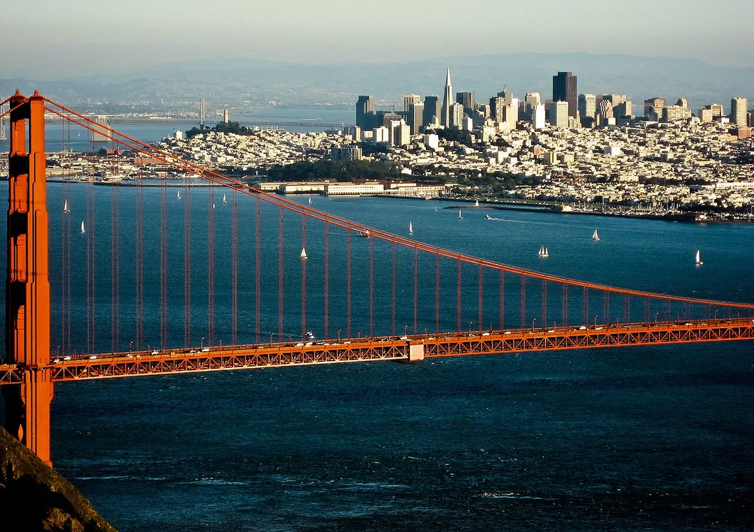
The Art Deco suspension bridge spanning the Golden Gate strait in famous International Orange; drive, cycle, or walk it, with classic viewpoints at Battery Spencer and Fort Point.
27 km · about 30 min drive
museum
A unique museum combining an aquarium, planetarium, and natural history museum under a living green roof in Golden Gate Park.
28 km · about 30 min drive
national park
An ancient old-growth coast redwood forest just north of San Francisco, offering peaceful trails beneath towering thousand-year-old trees.
35 km · about 40 min drive
racetrack
A challenging road course set among the rolling hills of California wine country, hosting NASCAR and IndyCar events.
40 km · about 45 min drive
Other places to explore near Orinda.
Your trip starts here
Pick the days, drop in the stops, and share it with whoever's coming.