historic highway
N2: Portugal's Route 66
Portugal's longest road runs 738 kilometers from Chaves to Faro through the country's rural heartland and Alentejo plains.
21 km · about 25 min drive

Castelo Branco, Portugal · Europe
Oleiros is worth a stop: 25 minutes from Pampilhosa da Serra, 52km from Torre Summit Road (N339), Serra da Estrela.
Oleiros is in Castelo Branco, Portugal, with about 5,700 people. You drive on the right here. The nearest town is Pampilhosa da Serra, about 15 km away.
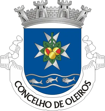
Oleiros (European Portuguese pronunciation: [ɔˈlɐjɾuʃ] ) is a municipality in the district of Castelo Branco in Portugal. The population in 2011 was 5,721, in an area of 471.09 km2. The present mayor is José Santos Marques, elected by the Social Democratic Party. The municipal holiday is the Monday after the 2ndRead more
Sunday of August.
Compare prices across Booking.com, Airbnb, Expedia, and more. Select your dates to see availability.
Pick your must-haves once: provider links open pre-filtered. Each filter lists which sites it applies to.
Compare before you book!
Prices can vary significantly between platforms. We recommend checking at least 2-3 sites to find the best deal for your stay in Oleiros.
Discover famous landmarks, scenic roads, and more near Oleiros.
Within an hour or so of Oleiros: N2: Portugal's Route 66 (21 km), Piódão (35 km), Torre Summit Road (N339), Serra da Estrela (52 km), Torre, Serra da Estrela (52 km).
The nearest famous roads are N2: Portugal's Route 66, N339 Serra da Estrela and Torre Summit Road (N339), Serra da Estrela.
Oleiros is in Castelo Branco, Portugal, about 15 km from Pampilhosa da Serra.
Road trip
Add it as a stop and the planner works out the driving, the nights and what's worth seeing on the way.
Start planningSwipe through places to go
Places within a drive of Oleiros. Keep the ones you like and add them to your trip.
8 notable places within an hour's drive.
historic highway
Portugal's longest road runs 738 kilometers from Chaves to Faro through the country's rural heartland and Alentejo plains.
21 km · about 25 min drive
landmark
A schist village built in terraces on a steep Serra do Açor hillside, reached by a winding mountain road.
35 km · about 40 min drive
famous road
Mainland Portugal's highest road climbs past glacial valleys and granite tors to the 1,993 m Torre summit: snow-dusted in winter and a favourite driving loop from Covilhã.
52 km · about 60 min drive
mountain pass
The highest point in mainland Portugal at 1993m, reachable by paved road N339, with a mountain plateau and winter snow.
52 km · about 60 min drive
famous road
The climb to Torre, mainland Portugal's highest point at 1,993m, through glacial valleys and boulder fields.
52 km · about 60 min drive
landmark
One of the oldest universities in continuous operation in the world, with a stunning Baroque library and UNESCO World Heritage status.
54 km · about 60 min drive
cathedral
A fortress-like 12th-century Romanesque cathedral in the old upper town of Coimbra, near the historic university.
54 km · about 65 min drive
landmark
A UNESCO-listed former Knights Templar headquarters with a remarkable blend of Romanesque, Gothic, Manueline, and Renaissance architecture.
56 km · about 65 min drive
April to October
Other places to explore near Oleiros.
Your trip starts here
Pick the days, drop in the stops, and share it with whoever's coming.