PYRTPlan Your Road Trips
Create TripCommunityMerchandise
PYRTPlan Your Road Trips
Create TripCommunityMerchandise
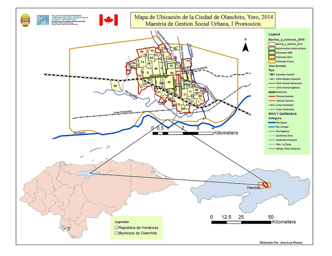
Mapa de ubicación regional del municipio de Olanchito,
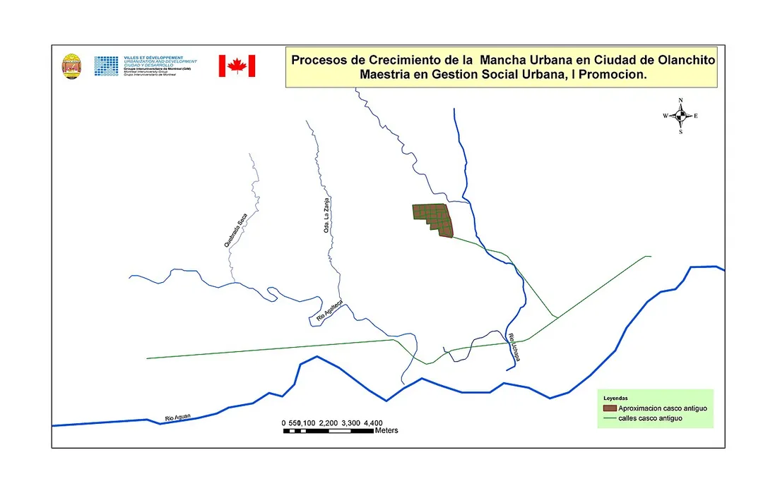
1600-1900
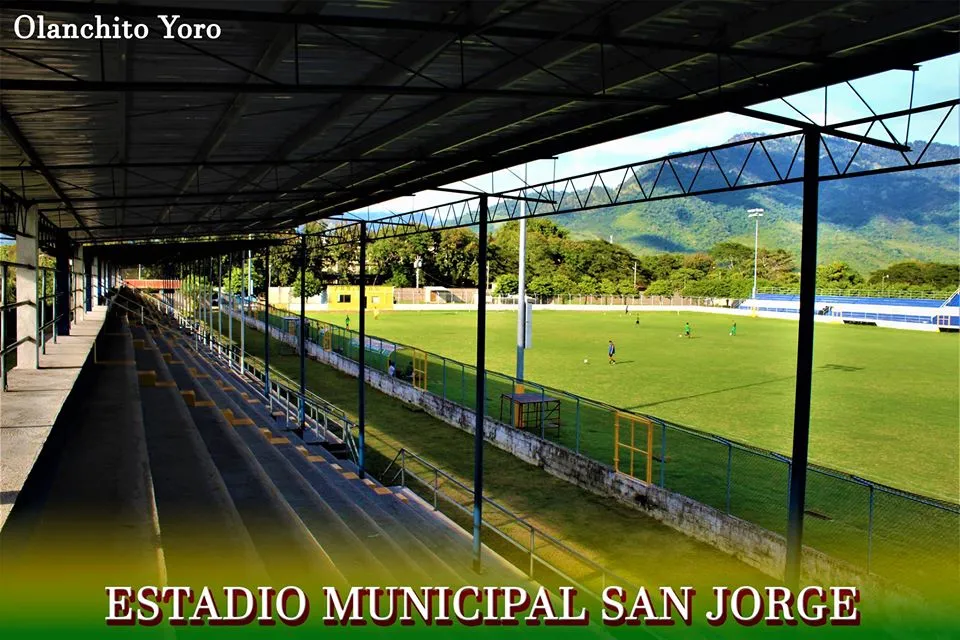
ESTADIUM
Photo by Luisramosz
Destinations
Home›Destinations›Olanchito
North AmericaHondurasYoro Department

Olanchito

Yoro Department, Honduras · North America

About Olanchito

Olanchito sits on the route: 15 minutes from El Ocote, 35km from Pico Bonito National Park.

Olanchito is in Yoro Department, Honduras, with about 120,000 people. The nearest town is El Ocote, about 7 km away.

Olanchito is a municipality in the department of Yoro, Honduras, and a town with a population of 49,750 as of 2023. The municipality was founded in 1530 and comprises 70 villages, approximately 300 hamlets, and a population of 124,286. It is located 107 miles (172 km) northeast of Tegucigalpa, the country's capital.

Read more Olanchito operates in the Central Time Zone, with a UTC offset of -6 hours. The city is the birthplace of many popular figures of Honduran literature such as Ramón Amaya Amador, whose manuscripts, collection of books, writing table, and ashes are located in Olanchito. Known locally as the Civic City, Olanchito's main industry is agriculture.

Read more on Wikipedia

Where to Stay in Olanchito

Compare prices across Booking.com, Airbnb, Expedia, and more. Select your dates to see availability.

Filter presets

Pick your must-haves once: provider links open pre-filtered. Each filter lists which sites it applies to.

Booking.comExpediaTripAdvisorHotels.comAgodaAirbnb

Compare before you book!

Prices can vary significantly between platforms. We recommend checking at least 2-3 sites to find the best deal for your stay in Olanchito.

Explore the Area

Discover famous landmarks, scenic roads, and more near Olanchito.

Loading map...
Open in Google Maps

Frequently Asked Questions

What is there to see near Olanchito?

Within an hour or so of Olanchito: Pico Bonito National Park (35 km).

Where is Olanchito?

Olanchito is in Yoro Department, Honduras, about 7 km from El Ocote.

Road trip

Drive to Olanchito

Add it as a stop and the planner works out the driving, the nights and what's worth seeing on the way.

Start planning

What's nearby?

Swipe through places to go

Places within a drive of Olanchito. Keep the ones you like and add them to your trip.

Explore now

Quick Information

Population
124,286
Continent
North America
Country
Honduras
Region
Yoro Department
Timezone
America/Tegucigalpa
Coordinates
15.4813, -86.5742

Tags

North AmericaHondurasYoro DepartmentCity

Worth the detour from Olanchito

1 notable place within an hour's drive.

national park

Pico Bonito National Park

A wall of jungle rising from near sea level to 2,480 m behind La Ceiba, with cloud forest, whitewater on the Río Cangrejal and some of Honduras's densest birdlife. The Cangrejal road runs along the park edge.

35 km · about 40 min drive

When to drive here

Year-round

Tropical latitude: plan around the wet season rather than temperature.

Nearby Destinations

Other places to explore near Olanchito.

La Ceiba

🇭🇳 Honduras

38 km awayPop. 222,055

Plan a trip around Olanchito

North America road trip planner

Your trip starts here

Plan a road trip from Olanchito.

Pick the days, drop in the stops, and share it with whoever's coming.

Start planning
PYRT

The ultimate road trip planning platform. Discover 150,000+ destinations worldwide, plan scenic routes, and create unforgettable adventures.

Inspiration

  • Discover Trips
  • Travel Guides
  • Community

The Product

  • Calendar Planner
  • Integrations
  • How It Works
  • Collaboration Mode
  • Get the App
  • Merchandise: PYRT Supply Co.
  • Become a Creator
  • Trip Marketplace

Plan Your Trip

  • Road Trip Planner
  • Famous Routes
  • Drive Times & Distances
  • Planners by Country
  • Best Road Trip Planner App
  • Discover Road Trips
  • Events
  • Travel Guides
  • How It Works
  • My Trips
  • Community Groups

Company

  • Terms of Service
  • Privacy Policy
  • About PYRT
  • Support
  • Contact Us
  • Sign In
  • Create Account

© 2026 Plan Your Road Trips. All rights reserved.

•[email protected]
Data sources:GeoNames (CC BY 4.0)•Wikimedia Commons (CC BY-SA)•Mapbox•Photography: George Lawrence