
castle
Orava Castle
A dramatic cliff-top castle perched high above the Orava River, famously used as a filming location for the 1922 movie Nosferatu.
20 km · about 25 min drive
Žilina Region, Slovakia · Europe
Novoť is worth a stop: 10 minutes from Zákamenné, 48km from Kościeliska Valley.
Novoť is in Žilina Region, Slovakia, with about 3,700 people. You drive on the right here. The nearest town is Zákamenné, about 5 km away.
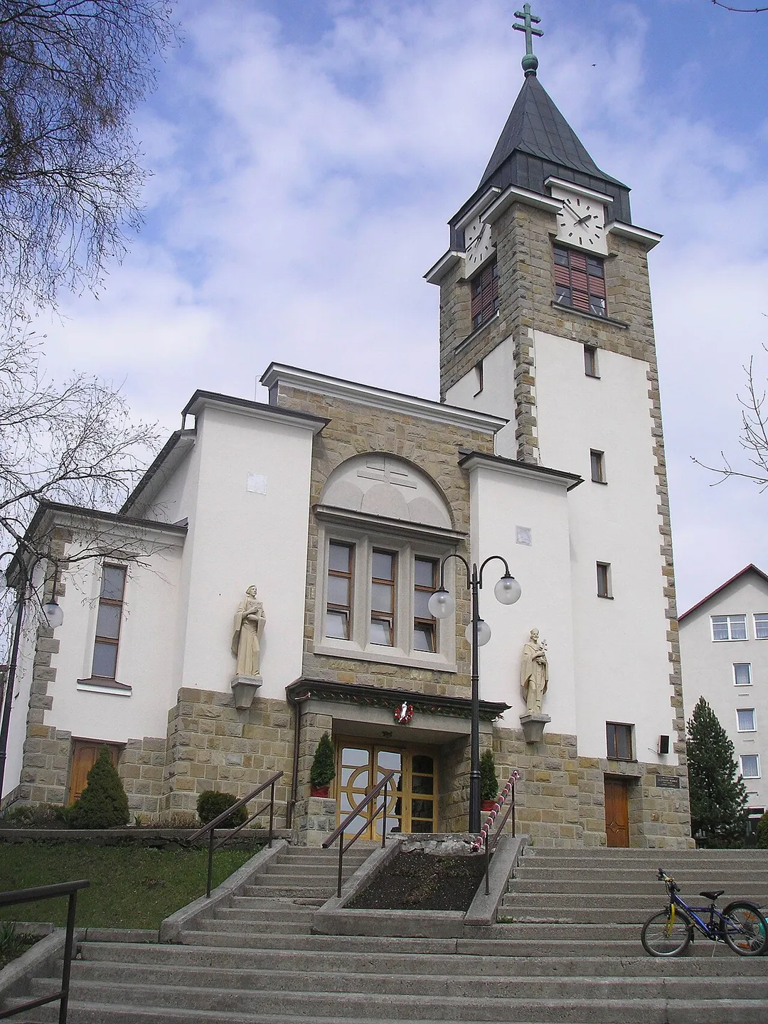
Novoť (Hungarian: Novoty) is a village and municipality in Námestovo District in the Žilina Region of northern Slovakia.
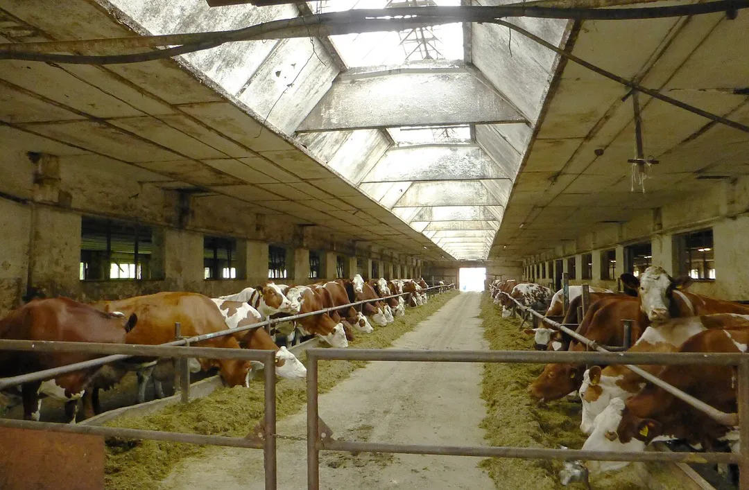
The beginnings of the village date back to 1691, it belonged to the Orava Castle. Initially, the village was known under the name Jurkov. In addition to agriculture, the population in the past wasRead more
engaged in the cultivation of flax, the production of shingles and canvas, logging and the production of wooden dishes.
Novoť is one of the younger Zamagura municipalities, it was originally named after its founder Jurčákov. Trenches built by the German army before the end of World War II have been preserved in the cadastre of the village. There are 16 chapels, crosses and shrines in the village and in the village. Similar to Oravská Lesná and Zákamenné, the village is inhabited by scattered buildings. The road to Poland passes through the village, which enables the connection of Orava with Poland, Kysuce, but especially with the Czech Republic. The distance from the border to the D3 highway is only 27 km, to the Czech border 41 km. The hiking trail Pilsko-Babia hora passes through the cadastre of the village.
Compare prices across Booking.com, Airbnb, Expedia, and more. Select your dates to see availability.
Pick your must-haves once: provider links open pre-filtered. Each filter lists which sites it applies to.
Compare before you book!
Prices can vary significantly between platforms. We recommend checking at least 2-3 sites to find the best deal for your stay in Novoť.
Discover famous landmarks, scenic roads, and more near Novoť.
Within an hour or so of Novoť: Orava Castle (20 km), Strecno Castle (41 km), Vlkolínec (43 km), Kościeliska Valley (48 km).
The nearest famous roads are Droga pod Reglami, Zakopane, Zakopianka (Road to the Tatras) and Donovaly Pass.
Novoť is in Žilina Region, Slovakia, about 5 km from Zákamenné.
Road trip
Add it as a stop and the planner works out the driving, the nights and what's worth seeing on the way.
Start planningSwipe through places to go
Places within a drive of Novoť. Keep the ones you like and add them to your trip.
Essential numbers in Slovakia
Motorway vignette required. Zero alcohol limit for drivers.
Full driving guide for Slovakia8 notable places within an hour's drive.
castle
A dramatic cliff-top castle perched high above the Orava River, famously used as a filming location for the 1922 movie Nosferatu.
20 km · about 25 min drive
castle
A dramatic 14th-century ruin perched on a limestone crag directly above the Vah river gorge, towering over the busy Zilina–Martin road in one of Slovakia's most photographed roadside views.
41 km · about 45 min drive
landmark
A remarkably well-preserved UNESCO village of traditional log houses representing a complete example of a medieval central European settlement.
43 km · about 50 min drive
natural wonder
A limestone valley in the Western Tatras with caves and rock gates, walked or driven by horse cart from Kiry.
48 km · about 55 min drive
famous road
The scenic highway climbing from Krakow into the Tatra foothills, a classic Polish mountain road trip.
51 km · about 60 min drive
famous road
A wooded road running along the foot of the Tatras on the edge of Zakopane, the classic approach to the trailheads.
51 km · about 60 min drive
landmark
Poland's winter capital nestled at the foot of the Tatra Mountains, renowned for its distinctive wooden architecture and highland culture.
52 km · about 60 min drive
natural wonder
A spectacular cave system in the Low Tatras featuring permanent ice formations, frozen waterfalls, and underground lakes.
53 km · about 60 min drive
April to October
Other places to explore near Novoť.
Your trip starts here
Pick the days, drop in the stops, and share it with whoever's coming.