
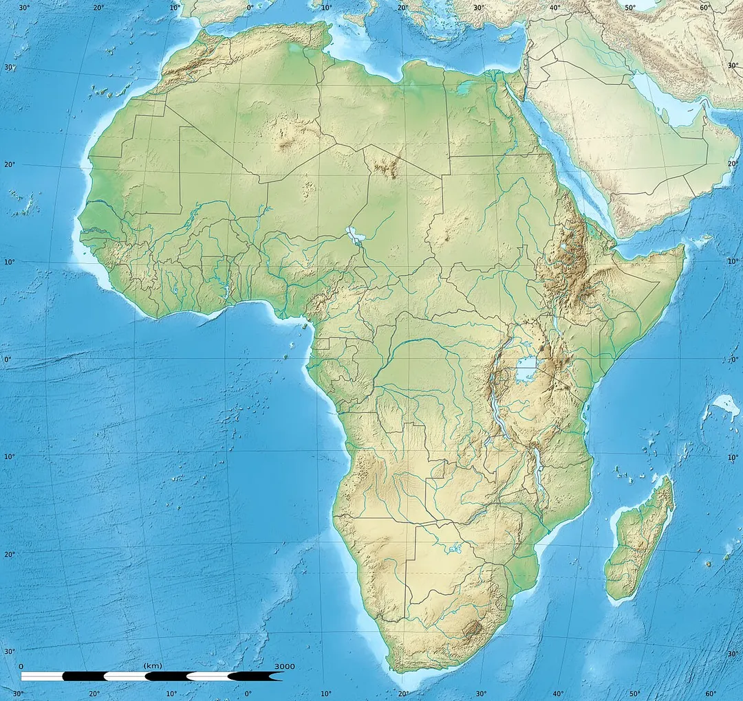
AfricaNigerNiamey
Niamey
Niamey, Niger · Africa
About Niamey
Niamey sits on the route: 30 minutes from Youri Kourtéré.
Niamey is in Niger, with about 1.3 million people. The nearest town is Youri Kourtéré, about 25 km away.
Niamey is the capital and largest city of Niger. It is in the western part of the country, surrounded by the Tillabéri Region. Niamey lies on the Niger River, primarily situated on the river's left bank (east side). The capital of Niger since the colonial era, Niamey is an ethnically diverse city and the country'sRead more
main economic centre.
Before the French developed it as a colonial centre, Niamey was the site of villages inhabited by Fula, Zarma, Maouri, and Songhai people. French expeditions first visited the location in the 1890s before Captain Henri Salaman established a military post in 1901. Niamey replaced Zinder as the territorial capital from 1903 to 1911 and again in 1926, after which large-scale development occurred. The first city plan in 1930 relocated neighbourhoods and enacted segregation of European and indigenous neighbourhoods, which remained separate until the 1950s. Niamey held Niger's first municipal elections in 1956, electing Djibo Bakary as the first mayor. In the decade following independence in 1960, urban planning introduced infrastructure such as the Kennedy Bridge, which connected the city to the right bank. In the 1970s and 1980s, Niamey's growth was fuelled by a boom in the national uranium industry and by droughts that brought rural migrants. Protests in Niamey contributed to the democratisation of Niger in the 1990s. This era saw an Islamic revival.
Niamey has a dense city centre and includes some villages in the periphery. Due to rapid population growth, the city has many informal settlements, allocated semi-legally from chiefs of traditional governments, which are often excluded from public utilities. The city's economy is dominated by commerce, largely in the informal economy. The city also has extensive urban agriculture. Alongside the Zarma people, Niamey has a large Hausa population, who often seasonally migrate from rural Niger. Both groups' languages are used as lingua francas. Most of the population follows Islam—including the Tariqa movement of Sufism and the newer Izala movement of Salafism—with a Christian minority. Niamey is one of the hottest major cities in the world. It is prone to droughts and floods. The Niger River is the city's only permanent river and the sole source of its municipal water supply.
Niamey comprises the Niamey Urban Community (French: Communauté Urbaine de Niamey, CUN), a first-level division of Niger, led by the Governor of Niamey. It is divided into five communes: Niamey I, II, III, and IV on the left bank, and V on the right bank. The city also has a municipal government, though it was dissolved in 2024. Transportation links include Diori Hamani International Airport, highways including RN1, and the unused Niamey railway station. Niamey is home to Abdou Moumouni University, Niger's most important university, and Niamey National Hospital, the country's largest referral hospital.
Where to Stay in Niamey
Compare prices across Booking.com, Airbnb, Expedia, and more. Select your dates to see availability.
Filter presets
Pick your must-haves once: provider links open pre-filtered. Each filter lists which sites it applies to.
Compare before you book!
Prices can vary significantly between platforms. We recommend checking at least 2-3 sites to find the best deal for your stay in Niamey.
Explore the Area
Discover famous landmarks, scenic roads, and more near Niamey.
Loading map...
Frequently Asked Questions
Where is Niamey?
Niamey is in Niamey, Niger, about 25 km from Youri Kourtéré.
Road trip
Drive to Niamey
Add it as a stop and the planner works out the driving, the nights and what's worth seeing on the way.
Start planningWhat's nearby?
Swipe through places to go
Places within a drive of Niamey. Keep the ones you like and add them to your trip.
Explore now
Quick Information
- Population
- 1,323,691
- Continent
- Africa
- Country
- Niger
- Region
- Niamey
- Timezone
- Africa/Niamey
- Coordinates
- 13.5137, 2.1098
Tags
When to drive here
Year-round
Tropical latitude: plan around the wet season rather than temperature.
Nearby Destinations
Other places to explore near Niamey.
Your trip starts here
Plan a road trip from Niamey.
Pick the days, drop in the stops, and share it with whoever's coming.