
waterfall
Boka Waterfall
Slovenia's highest waterfall at 106 m, visible from the road near Bovec and best after snowmelt.
24 km · about 25 min drive
Friuli Venezia Giulia, Italy · Europe
Moggio Udinese is worth a stop: 15 minutes from Chiusaforte, 24km from Boka Waterfall.
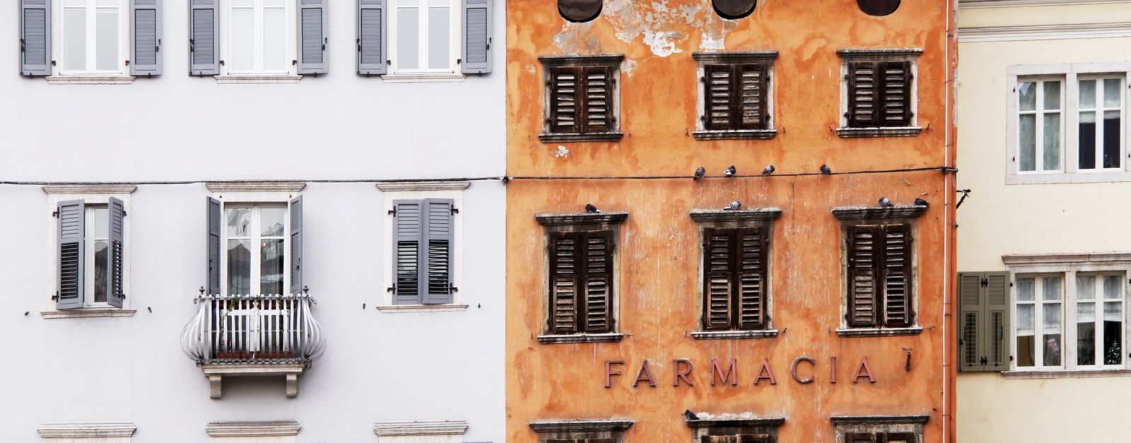
Moggio Udinese is in Friuli Venezia Giulia, Italy, with about 2,100 people. You drive on the right here. The nearest town is Chiusaforte, about 8 km away.
Moggio Udinese (German: Mosach or Mosnitz; Slovene: Možac or Možnicia; Friulian: Mueç) is a comune (municipality) in the Regional decentralization entity of Udine in the Italian region of Friuli-Venezia Giulia.
It is situated in the Friuli region, in the valley of the Fella River, a right tributary of theRead more
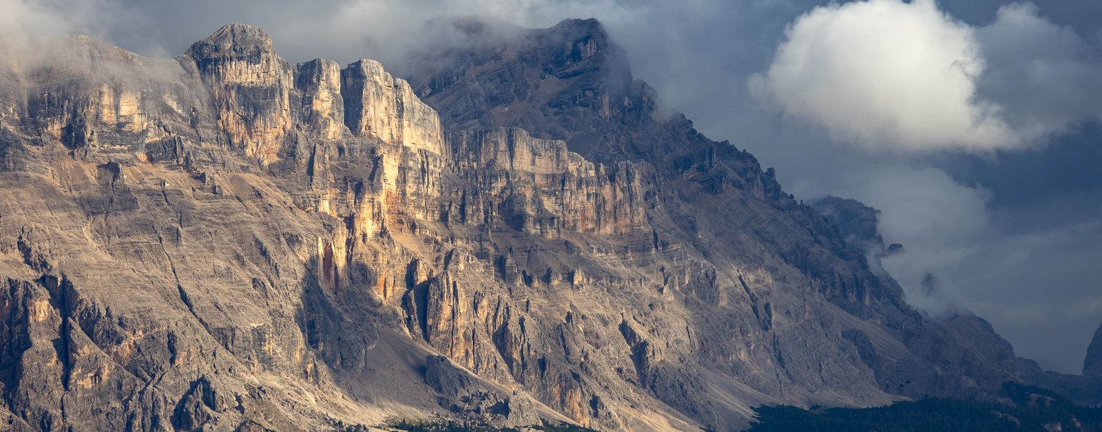
Tagliamento. Moggio is located about 100 kilometres (62 mi) northwest of Trieste and about 40 kilometres (25 mi) north of Udine. In the north, the mountains of the Carnic Alps stretch up to the border with Austria; beyond the Fella are the Julian Alps with the Resia Valley in the southeast. As of 31 December 2004, the municipality had a population of 1,991 and an area of 143.5 square kilometres (55.4 mi2). It can be reached via the Autostrada A23.
Moggio Udinese borders the following municipalities: Amaro, Arta Terme, Chiusaforte, Dogna, Hermagor-Pressegger See (Austria), Paularo, Pontebba, Resiutta, Tolmezzo, Venzone.
Compare prices across Booking.com, Airbnb, Expedia, and more. Select your dates to see availability.
Pick your must-haves once: provider links open pre-filtered. Each filter lists which sites it applies to.
Compare before you book!
Prices can vary significantly between platforms. We recommend checking at least 2-3 sites to find the best deal for your stay in Moggio Udinese.
Discover famous landmarks, scenic roads, and more near Moggio Udinese.
Within an hour or so of Moggio Udinese: Boka Waterfall (24 km), Predil Pass (28 km), Hiša Franko (32 km), Mangart Saddle Road (34 km).
The nearest famous roads are Predil Pass, Mangart Saddle Road and Vršič Pass.
Moggio Udinese is in Friuli Venezia Giulia, Italy, about 8 km from Chiusaforte.
Road trip
Add it as a stop and the planner works out the driving, the nights and what's worth seeing on the way.
Start planningSwipe through places to go
Places within a drive of Moggio Udinese. Keep the ones you like and add them to your trip.
Essential numbers in Italy
ACI roadside assistance: 803 116. ZTL (limited traffic zones) in city centres are camera-enforced.
Full driving guide for Italy8 notable places within an hour's drive.
waterfall
Slovenia's highest waterfall at 106 m, visible from the road near Bovec and best after snowmelt.
24 km · about 25 min drive
mountain pass
A 1,156 m pass on the Slovenian-Italian border above Bovec, guarded by the ruined Predil fortress; its sweeping curves pair perfectly with the nearby Mangart and Vršič roads on a Julian Alps loop.
28 km · about 35 min drive
restaurant
Ana Roš's three-Michelin-star farmhouse restaurant in Staro Selo outside Kobarid, cooking hyper-local Soča Valley ingredients: mountain cheese, river trout, foraged herbs. A pilgrimage-level food detour booked months ahead.
32 km · about 35 min drive
mountain pass
Slovenia's highest-reaching road at 2055m, a narrow single-track shelf road with no guardrails climbing to a dramatic saddle beneath the Mangart peak.
34 km · about 40 min drive
scenic viewpoint
Valley of the turquoise Soca river below the Julian Alps, followed by a scenic road from Bovec through Kobarid to Tolmin.
34 km · about 40 min drive
waterfall
A 15 m waterfall near Kobarid that pours into an underground-feeling amphitheatre chamber, its emerald plunge pool lit by a single opening in the rock. An easy 30-minute walk from the parking by the Soča.
34 km · about 40 min drive
scenic viewpoint
The end of Slovenia's highest road at 2,072 m, a narrow single-track climb with tunnels cut through rock spurs and a huge Julian Alps view.
34 km · about 40 min drive
mountain pass
Slovenia's highest pass at 1611m with 50 numbered cobblestone hairpins, built by Russian POWs in WWI and now a popular Julian Alps motorcycle route.
42 km · about 50 min drive
April to October
Other places to explore near Moggio Udinese.
Your trip starts here
Pick the days, drop in the stops, and share it with whoever's coming.