
landmark
Sky Tower
328-metre observation and telecommunications tower dominating the Auckland skyline, New Zealand's tallest man-made structure.
14 km · about 25 min drive
Auckland, New Zealand · Oceania
Mangere East is worth a stop: 10 minutes from Favona, 17km from Auckland Harbour Bridge.
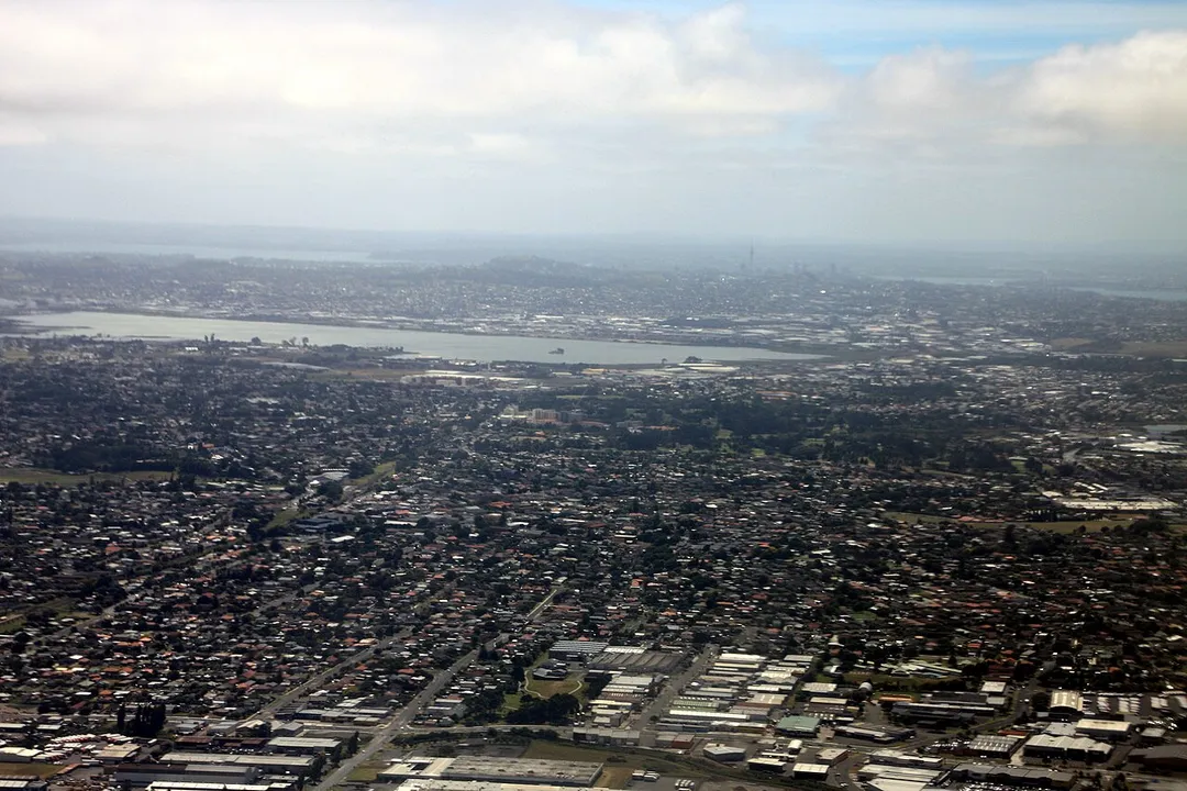
Mangere East is in Auckland, New Zealand, with about 29,000 people. You drive on the left here. The nearest town is Favona, about 4 km away.
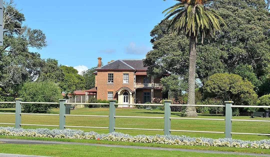
Māngere East or Mangere East is a suburb of Auckland, New Zealand, under the governance of Auckland Council. It is located to the south of Favona, north of Papatoetoe, west of Middlemore, east of Māngere and Māngere Bridge, and southwest of Ōtāhuhu.
In 2019, the name of the suburb was officially gazetted as MāngereRead more
East.
Compare prices across Booking.com, Airbnb, Expedia, and more. Select your dates to see availability.
Pick your must-haves once: provider links open pre-filtered. Each filter lists which sites it applies to.
Compare before you book!
Prices can vary significantly between platforms. We recommend checking at least 2-3 sites to find the best deal for your stay in Mangere East.
Discover famous landmarks, scenic roads, and more near Mangere East.
Within an hour or so of Mangere East: Sky Tower (14 km), Auckland Zoo (15 km), Auckland Harbour Bridge (17 km), Karekare Beach (31 km).
Mangere East is in Auckland, New Zealand, about 4 km from Favona.
Road trip
Add it as a stop and the planner works out the driving, the nights and what's worth seeing on the way.
Start planningSwipe through places to go
Places within a drive of Mangere East. Keep the ones you like and add them to your trip.
Essential numbers in New Zealand
Many rural bridges are single-lane. Give way as signed.
Full driving guide for New Zealand7 notable places within an hour's drive.
landmark
328-metre observation and telecommunications tower dominating the Auckland skyline, New Zealand's tallest man-made structure.
14 km · about 25 min drive
landmark
New Zealand's largest zoo with native wildlife including kiwi alongside exotic species from around the globe.
15 km · about 25 min drive
bridge
The eight-lane icon spanning Waitematā Harbour since 1959, carrying SH1 into downtown Auckland with skyline and gulf views: thrill-seekers can climb it or bungy jump off it.
17 km · about 20 min drive
beach
A vast black-sand beach beneath the Waitakere Ranges, where The Piano was filmed, with a waterfall in the bush behind the car park. Wilder and emptier than neighbouring Piha.
31 km · about 35 min drive
beach
Auckland's wild west coast surf beach, dominated by the iconic Lion Rock and powerful black-sand breakers.
32 km · about 35 min drive
scenic viewpoint
Around 1,200 pairs of Australasian gannets nest on a cliff shelf and sea stack west of Auckland, with viewing platforms placed metres from the birds. Occupied roughly August to March.
38 km · about 45 min drive
racetrack
Motor racing circuit in north Waikato beside the Waikato Expressway, hosting national series and open track days.
49 km · about 55 min drive
Other places to explore near Mangere East.
Your trip starts here
Pick the days, drop in the stops, and share it with whoever's coming.