Longridge is worth a stop: 10 minutes from Goosnargh, 15km from Trough of Bowland.
Longridge is in England, United Kingdom, with about 7,500 people. You drive on the left here. The nearest town is Goosnargh, about 5 km away.
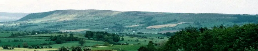
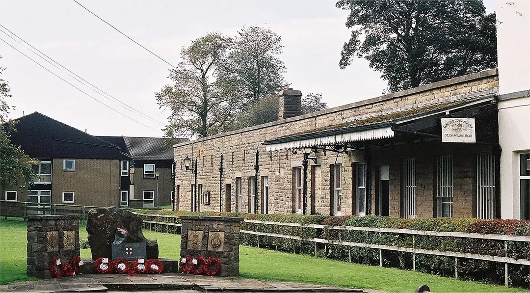
Longridge is a market town and civil parish in the borough of Ribble Valley in Lancashire, England. It is situated 8 miles (13 km) north-east of the city of Preston, at the western end of Longridge Fell, a long ridge above the River Ribble. The nearest villages are Grimsargh, 2 miles (3 km) to the southeast, andRead more Ribchester 4 miles (6 km) to the southeast. The parish of Longridge had a population of 7,546 recorded in the 2001 census, increasing to 7,724 at the 2011 Census.
Within an hour or so of Longridge: Trough of Bowland (15 km), Blackpool Pleasure Beach (30 km), Ingleton Waterfalls Trail (37 km), Malham Cove (39 km).
Are there any good drives near Longridge?
The nearest famous roads are Trough of Bowland, A684 Wensleydale (Sedbergh to Leyburn) and Holme Moss.
Where is Longridge?
Longridge is in England, United Kingdom, about 5 km from Goosnargh.
Road trip
Drive to Longridge
Add it as a stop and the planner works out the driving, the nights and what's worth seeing on the way.
Remote moorland pass through the Forest of Bowland linking Lancaster and Dunsop Bridge, following the route the Pendle witches were marched to trial in 1612. Sweeping single-carriageway bends with barely a building in sight.
15 km · about 30 min drive
landmark
Blackpool Pleasure Beach
Iconic seaside amusement park on England's northwest coast operating since 1896 with historic and modern coasters.
30 km · about 35 min drive
waterfall
Ingleton Waterfalls Trail
A 4.5-mile paid circular walk through wooded gorges past a chain of waterfalls including Thornton Force and Pecca Falls.
37 km · about 40 min drive
natural wonder
Malham Cove
Vast curved limestone cliff rising 80 metres from the valley floor, crowned with an extraordinary limestone pavement of weathered clints and grykes.
39 km · about 45 min drive
film location
Malham Cove (Deathly Hallows camp)
Harry and Hermione camp on the limestone pavement at the top of this 80m curved cliff in Deathly Hallows Part 1.
39 km · about 45 min drive
natural wonder
Malham Cove and Malham Tarn
An 80m curved limestone amphitheatre with a rare limestone pavement on top, and England's highest lime-rich lake nearby.
39 km · about 45 min drive
natural wonder
Ingleborough and Gaping Gill
One of the Yorkshire Three Peaks, riddled with caves including Gaping Gill, whose 98m shaft could hold York Minster.
39 km · about 45 min drive
natural wonder
Gordale Scar
A jaw-dropping limestone ravine with waterfalls tumbling between overhanging cliffs near Malham.
40 km · about 45 min drive
Driving roads near Longridge
Right hereTrough of BowlandRemote moorland pass through the Forest of Bowland linking Lancaster and Dunsop Bridge, following the route the Pendle witches were marched to trial in 1612. Sweeping single-carriageway bends with barely a building in sight.
43 kmPen-y-ghentThe most distinctive of the Yorkshire Three Peaks, a 694 m stepped ridge above Horton in Ribblesdale.
46 kmWhernsideThe highest point in Yorkshire at 736 m, forming the long whaleback ridge above Ribblehead Viaduct.
58 kmA684 Wensleydale (Sedbergh to Leyburn)A flowing dales road along the Ure past Hawes, linking to Buttertubs and the Ribblehead country.
59 kmHolme MossA 524 m Pennine pass on the A6024 topped by a landmark transmitter mast, a celebrated cycling climb used in the 2014 Tour de France.
62 kmWoodhead PassThe A628 trans-Pennine route over bleak moorland past the Woodhead reservoirs, frequently closed by snow and high winds.