
natural wonder
Cherrapunji (Sohra)
One of the wettest places on Earth with dramatic canyon views, stunning waterfalls, and the famous living root bridges of the Khasi people.
37 km · about 45 min drive
Meghalaya, India · Asia
Laitumkhrah sits on the route: 10 minutes from Mawpat, 37km from Cherrapunji (Sohra).
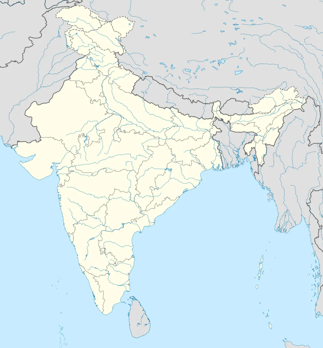
Laitumkhrah is in Meghalaya, India, with about 27,000 people. You drive on the left here. The nearest town is Mawpat, about 4 km away.
Laitumkhrah (Khasi: lait meaning "free" and umkhrah which is the name of a river Umkhrah) is a census town in Shillong, Meghalaya, India. The name of the place basically means a place where the river "Umkhrah" originates from making its name aptly suited.
From Laitumkhrah there are three roads connecting Happy ValleyRead more
(Them Basuk), Umpling & New Colony. The area is one of the costlier areas in Shillong but staying here itself is an experience. Laitumkhrah is filled with old historical buildings but with constant development in the area, most of the older buildings have been replaced with modern buildings. This place is relatively cold compared to other places of Shillong.
Laitumkhrah is the heart of Shillong. The area has a number of churches, schools and colleges. There's a market called Laitumkhrah Market (locally called 'Iew Shyllong') providing fresh vegetables, pork, beef, chicken and other stuffs. Nazerth Hospital, one of the oldest hospitals in Shillong, is located here.
Laitumkhrah houses the famous Ramakrishna Mission Shillong. The third generation sweet shop "Kalpatru" offering a wide variety of sweets is also located in Laitumkhrah.
Laitumkhrah is the center of education in Shillong with numerous well known educational institutions like St.Margaret's Higher Secondary School Shillong, Loreto Convent, St. Edmund's College, St. Anthony's College, Shillong, Saint Mary's College (Shillong), Don Bosco Technical School, Shillong and the National Institute of Technology Meghalaya all located within the boundary of Laitumkhrah.
Mary Help of Christians Cathedral, Shillong which serves as the seat of the Roman Catholic Archdiocese of Shillong is also located in Laitumkhrah. The church is the first Catholic cathedral church in what was then Assam.
Compare prices across Booking.com, Airbnb, Expedia, and more. Select your dates to see availability.
Pick your must-haves once: provider links open pre-filtered. Each filter lists which sites it applies to.
Compare before you book!
Prices can vary significantly between platforms. We recommend checking at least 2-3 sites to find the best deal for your stay in Laitumkhrah.
Discover famous landmarks, scenic roads, and more near Laitumkhrah.
Within an hour or so of Laitumkhrah: Cherrapunji (Sohra) (37 km), Nohkalikai Falls (39 km), Living Root Bridges of Meghalaya (44 km), Mawsynram (44 km).
Laitumkhrah is in Meghalaya, India, about 4 km from Mawpat.
Road trip
Add it as a stop and the planner works out the driving, the nights and what's worth seeing on the way.
Start planningSwipe through places to go
Places within a drive of Laitumkhrah. Keep the ones you like and add them to your trip.
5 notable places within an hour's drive.
natural wonder
One of the wettest places on Earth with dramatic canyon views, stunning waterfalls, and the famous living root bridges of the Khasi people.
37 km · about 45 min drive
waterfall
India's tallest plunge waterfall at 340 meters in Meghalaya, plummeting into a deep green pool during monsoon season.
39 km · about 45 min drive
natural wonder
Bioengineered bridges grown from the aerial roots of rubber fig trees by the Khasi and Jaintia people over centuries, including the famous double-decker bridge.
44 km · about 50 min drive
natural wonder
The wettest inhabited place on Earth receiving an average annual rainfall of nearly 12,000 millimeters, surrounded by dramatic Khasi Hills scenery.
44 km · about 50 min drive
natural wonder
A crystal-clear river on the India-Bangladesh border where boats appear to float in mid-air above the visible riverbed, surrounded by lush green hills.
44 km · about 50 min drive
Other places to explore near Laitumkhrah.
Your trip starts here
Pick the days, drop in the stops, and share it with whoever's coming.