La Fare-les-Oliviers sits on the route: 10 minutes from Coudoux, 43km from Calanques National Park.
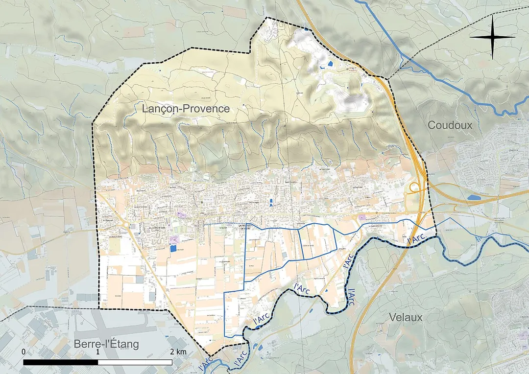
La Fare-les-Oliviers is in Provence-Alpes-Côte d'Azur, France, with about 6,600 people. You drive on the right here. The nearest town is Coudoux, about 4 km away.
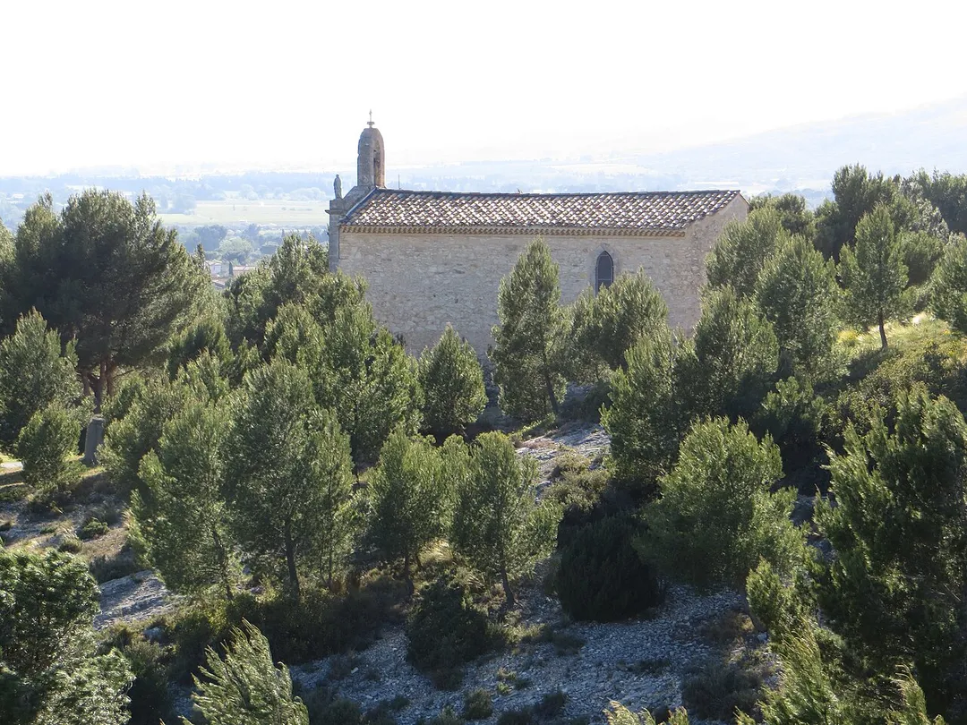
La Fare-les-Oliviers (French pronunciation: [la faʁ le.z‿ɔlivje]; Occitan: La Fara deis Oliviers) is a commune in the Bouches-du-Rhône department in the Provence-Alpes-Côte d'Azur region in Southern France. It is part of the Aix-Marseille-Provence Metropolis.
Within an hour or so of La Fare-les-Oliviers: Notre-Dame de la Garde Viewpoint (33 km), Les Baux-de-Provence (39 km), Carrières des Lumières (39 km), Gordes (40 km).
Are there any good drives near La Fare-les-Oliviers?
The nearest famous roads are Route des Crêtes (Cassis), Gorges de la Nesque Road and Corniche Sublime (D71).
Where is La Fare-les-Oliviers?
La Fare-les-Oliviers is in Provence-Alpes-Côte d'Azur, France, about 4 km from Coudoux.
Road trip
Drive to La Fare-les-Oliviers
Add it as a stop and the planner works out the driving, the nights and what's worth seeing on the way.
Marseille's 'Bonne Mere' basilica crowns a 149 m limestone peak reachable by a winding drive, with a sweeping 360-degree panorama over the Old Port, the Frioul islands and the Calanques.
33 km · about 40 min drive
castle
Les Baux-de-Provence
A dramatic medieval fortress village crowning a rocky limestone outcrop in the Alpilles mountains.
39 km · about 45 min drive
museum
Carrières des Lumières
Old limestone quarries turned into a vast immersive art show projected across 14 m stone walls.
39 km · about 45 min drive
landmark
Gordes
A stunning hilltop village of white stone houses perched dramatically above the Luberon valley.
40 km · about 45 min drive
landmark
Roussillon
A vibrant Provencal village built atop ochre cliffs, famous for its striking red and orange facades.
40 km · about 45 min drive
waterfall
Fontaine-de-Vaucluse
France's most powerful spring gushes from the foot of a cliff into an impossibly green pool.
42 km · about 50 min drive
landmark
Abbaye de Sénanque
A serene 12th-century Cistercian abbey framed by its own postcard rows of summer lavender.
42 km · about 50 min drive
national park
Calanques National Park
Dramatic limestone fjord-like inlets with turquoise waters and white cliffs stretching between Marseille and Cassis on the Mediterranean coast.
43 km · about 50 min drive
Driving roads near La Fare-les-Oliviers
33 kmNotre-Dame de la Garde ViewpointMarseille's 'Bonne Mere' basilica crowns a 149 m limestone peak reachable by a winding drive, with a sweeping 360-degree panorama over the Old Port, the Frioul islands and the Calanques.
48 kmRoute des Crêtes (Cassis)A clifftop corniche from Cassis to La Ciotat climbing the highest sea cliffs in France with stunning overlooks.
55 kmPont Saint-Bénézet (Pont d'Avignon)The famous half-bridge of the children's song, jutting into the Rhône beneath Avignon's papal ramparts.
57 kmGorges de la Nesque RoadA serene Provençal balcony drive (D942) winding above a 400 m-deep limestone canyon near Mont Ventoux, with the Belvédère de Castellaras as its showpiece viewpoint.
63 kmPlateau de Sault Lavender FieldsEndless rows of purple lavender perfume the high Vaucluse plateau every summer beneath Mont Ventoux.
70 kmMont Ventoux Summit ViewpointThe 'Beast of Provence' at 1,912 metres, a barren lunar summit offering views from the Alps to the Mediterranean on clear days.
Driving in France
Drives on
the right
Petrol
~€1.85/litre
Motorway tolls
~€10.00/100km
When to drive here
April to October
Nearby Destinations
Other places to explore near La Fare-les-Oliviers.