
cathedral
Sensō-ji
Tokyo's oldest and most famous Buddhist temple, located in the historic Asakusa district.
1 km · about 5 min drive
Tokyo, Japan · Asia
Kuramae works well as a base: 1km from Sensō-ji.
Kuramae is in Tokyo, Japan, with about 7,400 people. You drive on the left here.
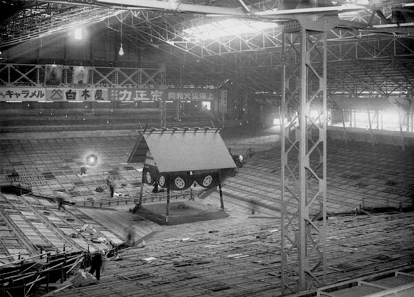
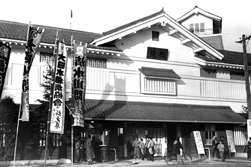
Kuramae Station (蔵前駅, Kuramae-eki) is a subway station located in the Kuramae and Kotobuki neighborhoods of Taitō, Tokyo, Japan. It serves the Toei Asakusa Line and Toei Oedo Line, both of which are operated by the Tokyo Metropolitan Bureau of Transportation (Toei). The station is identified as A-17 on the AsakusaRead more
Line and E-11 on the Ōedo Line. While there is no underground connection between the two lines, passengers can transfer between them at ground level.
Compare prices across Booking.com, Airbnb, Expedia, and more. Select your dates to see availability.
Pick your must-haves once: provider links open pre-filtered. Each filter lists which sites it applies to.
Compare before you book!
Prices can vary significantly between platforms. We recommend checking at least 2-3 sites to find the best deal for your stay in Kuramae.
Discover famous landmarks, scenic roads, and more near Kuramae.
Within an hour or so of Kuramae: Sensō-ji (1 km), Tokyo Skytree (2 km), Tokyo National Museum (2 km), Akihabara Electric Town (2 km).
The nearest famous roads are Yabitsu Pass, Hakone Turnpike and Irohazaka Winding Road.
Kuramae is in Tokyo, Japan.
Road trip
Add it as a stop and the planner works out the driving, the nights and what's worth seeing on the way.
Start planningSwipe through places to go
Places within a drive of Kuramae. Keep the ones you like and add them to your trip.
Essential numbers in Japan
Japan Helpline (24h English assistance): 0570-000-911. An International Driving Permit (1949 convention) is required to drive.
Full driving guide for Japan8 notable places within an hour's drive.
cathedral
Tokyo's oldest and most famous Buddhist temple, located in the historic Asakusa district.
1 km · about 5 min drive
landmark
Tallest tower in the world at 634 metres, a broadcasting and observation tower dominating the eastern Tokyo skyline.
2 km · about 5 min drive
museum
Japan's oldest and largest museum, with an unparalleled collection of Japanese art and Asian antiquities spanning millennia.
2 km · about 5 min drive
landmark
Tokyo's vibrant electronics and anime district, famous for its neon-lit streets, manga shops, and otaku culture.
2 km · about 5 min drive
cafe
A 1938 corner kissaten in a converted machiya in Yanaka, saved from demolition and reopened with its original layout. Known for the tamago sando and a coffee-and-cocoa mix called Rousseau.
3 km · about 5 min drive
landmark
The primary residence of the Emperor of Japan, set within vast gardens and moats in the heart of Tokyo.
4 km · about 5 min drive
landmark
Tokyo's legendary outer market offering fresh seafood, street food, and culinary delights in a bustling atmosphere.
5 km · about 10 min drive
landmark
Red-and-white communications tower inspired by the Eiffel Tower, an enduring symbol of post-war Japan.
6 km · about 10 min drive
5 named roads, passes and coastal drives within 150km.
Other places to explore near Kuramae.
Your trip starts here
Pick the days, drop in the stops, and share it with whoever's coming.