
OceaniaPapua New GuineaNew Ireland
Kavieng
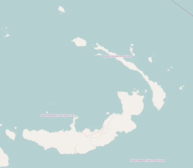
New Ireland, Papua New Guinea · Oceania
About Kavieng
Kavieng sits on the route: 3 hours from Namatanai.
Kavieng is in New Ireland, Papua New Guinea, with about 14,000 people. The nearest town is Namatanai, about 219 km away.
Kavieng is the capital of the Papua New Guinean province of New Ireland and the largest town on the island of the same name. The town is located at Balgai Bay, on the northern tip of the island. As of 2009, it had a population of 17,248.
Kavieng is the main port for New Ireland, and is both a trading and touristRead more
destination. Several dive companies operate from the town, as the area is known for its diving, both for natural sites and wrecks dating from the Second World War. There are plane and shipwrecks in Kavieng Harbor itself, as well as several more nearby.
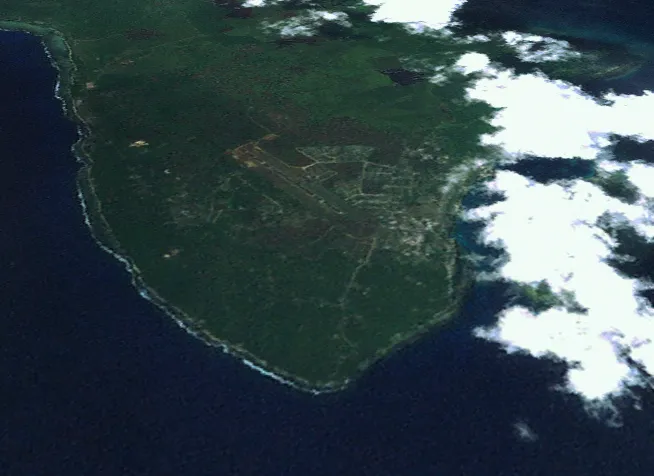
The town is serviced by Kavieng Airport, with daily connections to Port Moresby. It lies at one end of the Boluminski Highway which runs 293 kilometres (182 mi) of sealed road to Namatanai.
Kavieng has all the usual services of a local administrative center: local government offices; shopping; hotels (such as the Kavieng Hotel, the Malagan Beach Resort hotel and the Kavieng Club (the former "colonial club" in the town); a hospital providing general medical, pediatric and surgical services; and a weekly market. There is also a large wharf for copra export on the town's edge, which allow deep-water ships to load copra and oil directly from land.
Visible from Kavieng are the many islands of the archipelago lying between New Ireland and New Hanover, including Nusa Lik, Nusa Lawa, and Nango Island (which was formerly the site of a fish cannery in the 1960s and 1970s). Nango is also the site of a new marine research center for the PNG National Fisheries Authority. Its opening was overseen by the Governor-General of PNG, Mr. Paulius Matane, in July 2009.
Where to Stay in Kavieng
Compare prices across Booking.com, Airbnb, Expedia, and more. Select your dates to see availability.
Filter presets
Pick your must-haves once: provider links open pre-filtered. Each filter lists which sites it applies to.
Compare before you book!
Prices can vary significantly between platforms. We recommend checking at least 2-3 sites to find the best deal for your stay in Kavieng.
Explore the Area
Discover famous landmarks, scenic roads, and more near Kavieng.
Loading map...
Frequently Asked Questions
Where is Kavieng?
Kavieng is in New Ireland, Papua New Guinea, about 219 km from Namatanai.
Road trip
Drive to Kavieng
Add it as a stop and the planner works out the driving, the nights and what's worth seeing on the way.
Start planningWhat's nearby?
Swipe through places to go
Places within a drive of Kavieng. Keep the ones you like and add them to your trip.
Explore now
Quick Information
- Population
- 14,490
- Continent
- Oceania
- Country
- Papua New Guinea
- Region
- New Ireland
- Timezone
- Pacific/Port_Moresby
- Coordinates
- -2.5734, 150.7952
Tags
When to drive here
Year-round
Tropical latitude: plan around the wet season rather than temperature.
Nearby Destinations
Other places to explore near Kavieng.
Your trip starts here
Plan a road trip from Kavieng.
Pick the days, drop in the stops, and share it with whoever's coming.