PYRTPlan Your Road Trips
Create TripCommunityMerchandise
PYRTPlan Your Road Trips
Create TripCommunityMerchandise
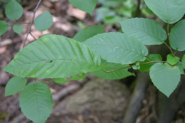
Leaves on a small branch of the American Hornbeamen (Carpinus caroliniana en   ). Species identification performed by the Pennsylvania Department of Conservation and Natural Resources.  Photo taken at the Ridley Creek State Park.


Camera and Exposure Details:Camera: Nikon Coolpix 8700Lens: Nikon Zoom Nikkor ED 8.9-71.2mm 1:2.8-4.2Exposure: 
0mm (0mm in 35mm equivalent) f/0 @ 0 s.
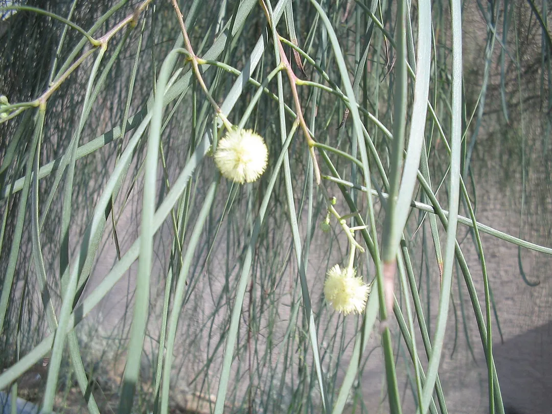
Acacia stenophylla Flowers
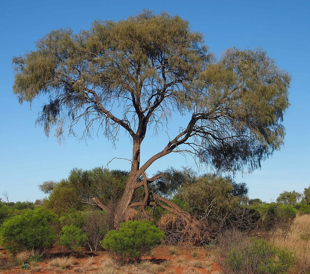
Acacia estrophiolata habit
Photo by Photo by and (c)2005 Derek Ramsey (Ram-Man)
Destinations
Home›Destinations›Ironwood
North AmericaCanadaBritish Columbia

Ironwood

British Columbia, Canada · North America

About Ironwood

Ironwood works well as a base: 5 minutes from Broadmoor, 21km from Lions Gate Bridge.

Ironwood is in British Columbia, Canada, with about 6,200 people. You drive on the right here. The nearest town is Broadmoor, about 4 km away.

Where to Stay in Ironwood

Compare prices across Booking.com, Airbnb, Expedia, and more. Select your dates to see availability.

Filter presets

Pick your must-haves once: provider links open pre-filtered. Each filter lists which sites it applies to.

Booking.comExpediaTripAdvisorHotels.comAgodaAirbnb

Compare before you book!

Prices can vary significantly between platforms. We recommend checking at least 2-3 sites to find the best deal for your stay in Ironwood.

Explore the Area

Discover famous landmarks, scenic roads, and more near Ironwood.

Loading map...
Open in Google Maps

Frequently Asked Questions

What is there to see near Ironwood?

Within an hour or so of Ironwood: Stanley Park Totem Poles (19 km), Vancouver Aquarium (20 km), Lions Gate Bridge (21 km), Capilano Suspension Bridge (24 km).

Are there any good drives near Ironwood?

The nearest famous roads are Sea-to-Sky Highway (BC-99), Chuckanut Drive (WA-11) and Whistler.

Where is Ironwood?

Ironwood is in British Columbia, Canada, about 4 km from Broadmoor.

Road trip

Drive to Ironwood

Add it as a stop and the planner works out the driving, the nights and what's worth seeing on the way.

Start planning

What's nearby?

Swipe through places to go

Places within a drive of Ironwood. Keep the ones you like and add them to your trip.

Explore now

Quick Information

Population
6,236
Continent
North America
Country
Canada
Region
British Columbia
Timezone
America/Vancouver
Coordinates
49.1261, -123.0951

Emergency & Services

Essential numbers in Canada

Police
911
Ambulance
911
Fire
911
Driving side
right

CAA roadside assistance: 1-800-222-4357. Winter tyres mandatory in Quebec December–March.

Full driving guide for Canada

Tags

North AmericaCanadaBritish ColumbiaTown

Worth the detour from Ironwood

5 notable places within an hour's drive.

landmark

Stanley Park Totem Poles

Collection of First Nations totem poles in Vancouver's Stanley Park, one of the most visited attractions in British Columbia.

19 km · about 20 min drive

landmark

Vancouver Aquarium

Canada's largest aquarium in Stanley Park dedicated to the conservation of aquatic life in the Pacific Northwest.

20 km · about 25 min drive

bridge

Lions Gate Bridge

Vancouver's iconic 1938 suspension bridge spanning the First Narrows from Stanley Park to the North Shore, gateway to the Sea-to-Sky Highway with mountain and harbour views from its green towers.

21 km · about 25 min drive

bridge

Capilano Suspension Bridge

A 137 m footbridge swaying 70 m above the Capilano River in North Vancouver, with treetop walkways and a granite cliffwalk: one of BC's most visited attractions since 1889.

24 km · about 30 min drive

scenic viewpoint

Sea-to-Sky Highway

Stunning coastal and mountain highway from Vancouver to Whistler

53 km · about 60 min drive

Driving roads near Ironwood

  • 21 kmLions Gate BridgeVancouver's iconic 1938 suspension bridge spanning the First Narrows from Stanley Park to the North Shore, gateway to the Sea-to-Sky Highway with mountain and harbour views from its green towers.
  • 24 kmCapilano Suspension BridgeA 137 m footbridge swaying 70 m above the Capilano River in North Vancouver, with treetop walkways and a granite cliffwalk: one of BC's most visited attractions since 1889.
  • 53 kmSea-to-Sky HighwayStunning coastal and mountain highway from Vancouver to Whistler
  • 61 kmSea to Sky GondolaGondola beside the Sea-to-Sky Highway near Squamish, rising 885 m above Howe Sound to a summit lodge, suspension bridge and sweeping viewpoints over fjord, forest and the Stawamus Chief.
  • 62 kmSea-to-Sky Highway (BC-99)From Vancouver's Howe Sound to Whistler, rebuilt for the 2010 Olympics, with fjord views the whole way.
  • 69 kmChuckanut Drive (WA-11)Washington's first scenic byway clings to sandstone cliffs between Bellingham and the Skagit flats, with oyster bars and Samish Bay sunsets over the San Juan Islands.

Nearby Destinations

Other places to explore near Ironwood.

Shellmont

🇨🇦 Canada

1 km awayPop. 11,420

South Arm

🇨🇦 Canada

3 km awayPop. 7,503

Broadmoor

🇨🇦 Canada

4 km awayPop. 23,050

Ladner

🇨🇦 Canada

4 km awayPop. 23,016

Woodwards

🇨🇦 Canada

5 km awayPop. 8,055

Garden City

🇨🇦 Canada

5 km awayPop. 5,885

Brighouse-City Centre

🇨🇦 Canada

5 km awayPop. 62,855

Blundell

🇨🇦 Canada

6 km awayPop. 18,065

Plan a trip around Ironwood

North America road trip planner

Your trip starts here

Plan a road trip from Ironwood.

Pick the days, drop in the stops, and share it with whoever's coming.

Start planning
PYRT

The ultimate road trip planning platform. Discover 150,000+ destinations worldwide, plan scenic routes, and create unforgettable adventures.

Inspiration

  • Discover Trips
  • Travel Guides
  • Community

The Product

  • Calendar Planner
  • Integrations
  • How It Works
  • Collaboration Mode
  • Get the App
  • Merchandise: PYRT Supply Co.
  • Become a Creator
  • Trip Marketplace

Plan Your Trip

  • Road Trip Planner
  • Famous Routes
  • Drive Times & Distances
  • Planners by Country
  • Best Road Trip Planner App
  • Discover Road Trips
  • Events
  • Travel Guides
  • How It Works
  • My Trips
  • Community Groups

Company

  • Terms of Service
  • Privacy Policy
  • About PYRT
  • Support
  • Contact Us
  • Sign In
  • Create Account

© 2026 Plan Your Road Trips. All rights reserved.

•[email protected]
Data sources:GeoNames (CC BY 4.0)•Wikimedia Commons (CC BY-SA)•Mapbox•Photography: George Lawrence