
AfricaMadagascarItasy
Imerintsiatosika
Itasy, Madagascar · Africa
About Imerintsiatosika
Imerintsiatosika sits on the route: 25 minutes from Arivonimamo.
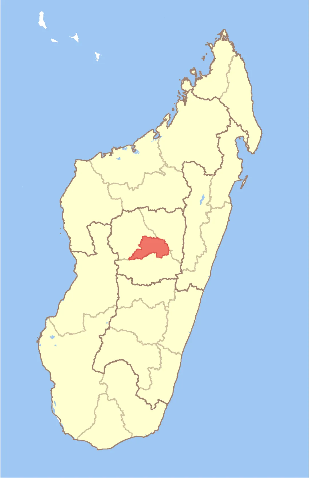
Imerintsiatosika is in Itasy, Madagascar, with about 74,000 people. The nearest town is Arivonimamo, about 15 km away.
Imerintsiatosika is a municipality in Madagascar. It belongs to the district of Arivonimamo, which is a part of Itasy Region. It is localized at 30 km west from the capital of Antananarivo on the National Road No.1. The population of the commune was found to be 69,953 in the 2018 census.
36 fokontany (villages) belongRead more
to this municipality.
Primary and junior level secondary education are available in town. The majority 98% of the population of the commune are farmers, while an additional 1% receives their livelihood from raising livestock. The most important crop is rice, while other important products are vegetables, cassava and potatoes. Services provide employment for 1% of the population.
There is a 240-metre-high (790 ft) radio station near Imeritsitosika. It belonged formerly to the NASA.
In 2021 a prison of high security was inaugurated in Imeritsitosika.
Where to Stay in Imerintsiatosika
Compare prices across Booking.com, Airbnb, Expedia, and more. Select your dates to see availability.
Filter presets
Pick your must-haves once: provider links open pre-filtered. Each filter lists which sites it applies to.
Compare before you book!
Prices can vary significantly between platforms. We recommend checking at least 2-3 sites to find the best deal for your stay in Imerintsiatosika.
Explore the Area
Discover famous landmarks, scenic roads, and more near Imerintsiatosika.
Loading map...
Frequently Asked Questions
Where is Imerintsiatosika?
Imerintsiatosika is in Itasy, Madagascar, about 15 km from Arivonimamo.
Road trip
Drive to Imerintsiatosika
Add it as a stop and the planner works out the driving, the nights and what's worth seeing on the way.
Start planningWhat's nearby?
Swipe through places to go
Places within a drive of Imerintsiatosika. Keep the ones you like and add them to your trip.
Explore now
Quick Information
- Population
- 74,085
- Continent
- Africa
- Country
- Madagascar
- Region
- Itasy
- Timezone
- Indian/Antananarivo
- Coordinates
- -18.9833, 47.3167
Tags
When to drive here
Year-round
Tropical latitude: plan around the wet season rather than temperature.
Nearby Destinations
Other places to explore near Imerintsiatosika.
Your trip starts here
Plan a road trip from Imerintsiatosika.
Pick the days, drop in the stops, and share it with whoever's coming.