
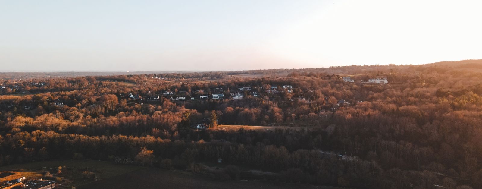

film location
Hankley Common, Surrey (Skyfall Lodge site)
The Skyfall Lodge exterior was built and burned on this MoD heath in Surrey; the location is walkable, though only the ground remains.
5 km · about 10 min drive
England, United Kingdom · Europe
Hindhead works well as a base: 5 minutes from Churt, 21km from South Downs National Park.
Hindhead is in England, United Kingdom, with about 6,200 people. You drive on the left here. The nearest town is Churt, about 4 km away.
Hindhead is a village in the Waverley district of the county of Surrey, England. It is the highest village in the county and its buildings are between 185 metres (607 ft) and 253 metres (830 ft) above sea level. The village forms part of the Haslemere parish. Situated on the county border with Hampshire, it is bestRead more
known as the location of the Devil's Punch Bowl, a beauty spot and site of special scientific interest.
The A3 between Portsmouth and London was crossed by the A287 between Hook and Haslemere. The A3 now passes under Hindhead in the Hindhead Tunnel and its route along the Punch Bowl has been removed and landscaped, but the crossroads still exists for local traffic, as a double mini-roundabout. Hindhead is 11 miles (18 km) south-west of Guildford and on the border with Hampshire. It is a ward in the district of Waverley, and part of the civil parish of Haslemere. The ward, which includes Beacon Hill, had a population of 4,292 at the 2011 Census. The name "Hindhead" is first attested in 1571, and means "hill frequented by hinds", or female deer.
Compare prices across Booking.com, Airbnb, Expedia, and more. Select your dates to see availability.
Pick your must-haves once: provider links open pre-filtered. Each filter lists which sites it applies to.
Compare before you book!
Prices can vary significantly between platforms. We recommend checking at least 2-3 sites to find the best deal for your stay in Hindhead.
Discover famous landmarks, scenic roads, and more near Hindhead.
Within an hour or so of Hindhead: Hankley Common, Surrey (Skyfall Lodge site) (5 km), Bourne Wood, Surrey (Gladiator opening battle) (9 km), Dunsfold Aerodrome (Top Gear Test Track) (14 km), South Downs National Park (21 km).
The nearest famous roads are Goodwood Festival of Speed, Crystal Palace Circuit and Rhinefield Ornamental Drive.
Hindhead is in England, United Kingdom, about 4 km from Churt.
Road trip
Add it as a stop and the planner works out the driving, the nights and what's worth seeing on the way.
Start planningSwipe through places to go
Places within a drive of Hindhead. Keep the ones you like and add them to your trip.
Essential numbers in United Kingdom
112 also works. NHS non-emergency medical advice: 111. National Highways breakdown assistance on motorways: 0300 123 5000.
Full driving guide for United Kingdom8 notable places within an hour's drive.
film location
The Skyfall Lodge exterior was built and burned on this MoD heath in Surrey; the location is walkable, though only the ground remains.
5 km · about 10 min drive
film location
The Forestry England woodland near Farnham is where Gladiator's Germania battle was shot, and later Robin Hood, Thor and the Harry Potter finale.
9 km · about 15 min drive
landmark
The famous airfield test track used by BBC Top Gear for its power laps and celebrity challenges.
14 km · about 25 min drive
national park
Rolling chalk downland stretching from Winchester to the white cliffs of Beachy Head, England's newest national park.
21 km · about 25 min drive
cafe
A beloved biker cafe on the A32 in Hampshire that draws motorcyclists from across southern England with its welcoming atmosphere and hearty food.
26 km · about 30 min drive
cafe
The Hampshire outpost near the South Downs, 45 minutes from Goodwood and close to the National Motor Museum at Beaulieu.
26 km · about 30 min drive
scenic viewpoint
The highest point in south-east England at 294 m, its 18th-century tower taking visitors just above the 1,000-foot mark.
26 km · about 30 min drive
historic highway
The hillclimb course on the Goodwood estate driveway where Formula One cars, prewar Grand Prix machinery and rally legends run flat out past a country house each summer. The 1.16-mile course is estate road year-round.
27 km · about 30 min drive
April to October
Other places to explore near Hindhead.
Your trip starts here
Pick the days, drop in the stops, and share it with whoever's coming.