racetrack
Hungaroring
Tight and twisty circuit near Budapest, often called Monaco without walls
34 km · about 40 min drive
Heves County, Hungary · Europe
Hatvan sits on the route: 10 minutes from Heréd, 34km from Kekesteto.
Hatvan is in Heves County, Hungary, with about 20,000 people. You drive on the right here. The nearest town is Heréd, about 6 km away.
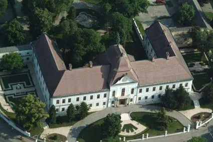
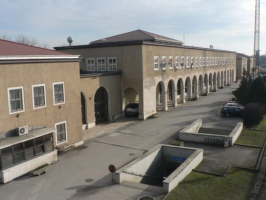
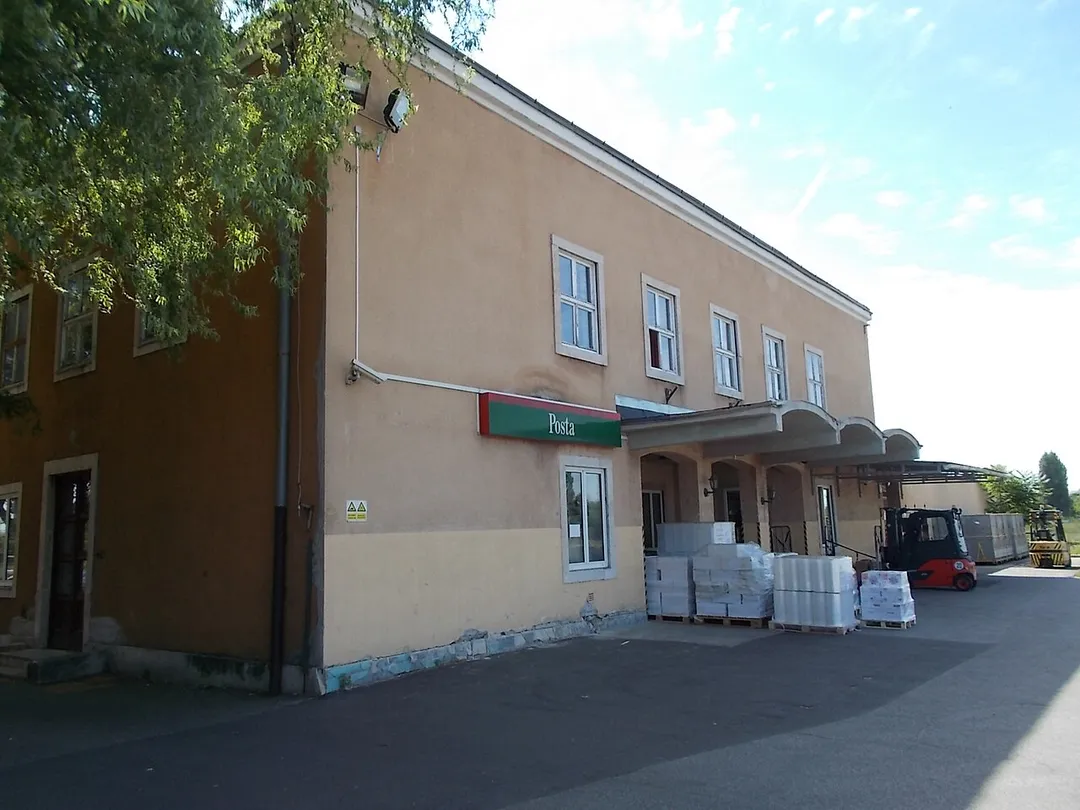
Hatvan [ˈhɒtvɒn] (German: Hottwan) is a town in Heves County, Hungary. It is the county's third most populous town following Eger and Gyöngyös.
Compare prices across Booking.com, Airbnb, Expedia, and more. Select your dates to see availability.
Pick your must-haves once: provider links open pre-filtered. Each filter lists which sites it applies to.
Compare before you book!
Prices can vary significantly between platforms. We recommend checking at least 2-3 sites to find the best deal for your stay in Hatvan.
Discover famous landmarks, scenic roads, and more near Hatvan.
Within an hour or so of Hatvan: Hungaroring (34 km), Kekesteto (34 km), Hollókő (37 km), Megyeri Bridge (46 km).
The nearest famous roads are Certovica Pass and Donovaly Pass.
Hatvan is in Heves County, Hungary, about 6 km from Heréd.
Road trip
Add it as a stop and the planner works out the driving, the nights and what's worth seeing on the way.
Start planningSwipe through places to go
Places within a drive of Hatvan. Keep the ones you like and add them to your trip.
Essential numbers in Hungary
e-vignette required for motorways. Zero alcohol limit for drivers.
Full driving guide for Hungary8 notable places within an hour's drive.
racetrack
Tight and twisty circuit near Budapest, often called Monaco without walls
34 km · about 40 min drive
scenic viewpoint
Hungary's highest point at 1,014 m in the Matra range, reached by a winding forest road to a TV tower lookout: the summit stripe on the asphalt is a beloved photo stop for drivers and cyclists.
34 km · about 40 min drive
landmark
A UNESCO-preserved Palóc village of whitewashed houses with wooden balconies, famous for its traditional Easter Festival celebrations.
37 km · about 45 min drive
bridge
Hungary's longest cable-stayed bridge sweeps the M0 motorway across the Danube north of Budapest, its twin 100 m pylons forming a striking modern gateway to the capital.
46 km · about 55 min drive
landmark
One of the largest public thermal bath complexes in Europe, a grand neo-baroque palace filled with steaming mineral-rich pools.
48 km · about 55 min drive
landmark
Monumental square at the end of Andrassy Avenue in Budapest, with the Millennium Memorial colonnade and two flanking art museums.
48 km · about 55 min drive
landmark
Iconic nightlife venues built in abandoned buildings and courtyards of the Jewish Quarter, pioneered by the legendary Szimpla Kert.
50 km · about 60 min drive
cafe
Budapest's eclectic-renaissance coffee palace of 1894, all gilded twisted columns, frescoes and chandeliers: the literary headquarters of turn-of-the-century Hungary, often called the most beautiful café in the world. Expect a queue.
50 km · about 55 min drive
April to October
Other places to explore near Hatvan.
Your trip starts here
Pick the days, drop in the stops, and share it with whoever's coming.