PYRTPlan Your Road Trips
Create TripCommunityMerchandise
PYRTPlan Your Road Trips
Create TripCommunityMerchandise
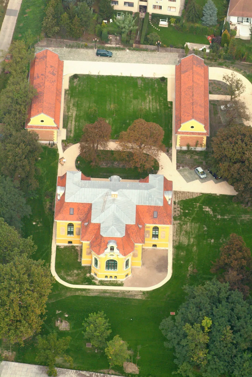
Mansion - Halásztelek - Hungary - Europe
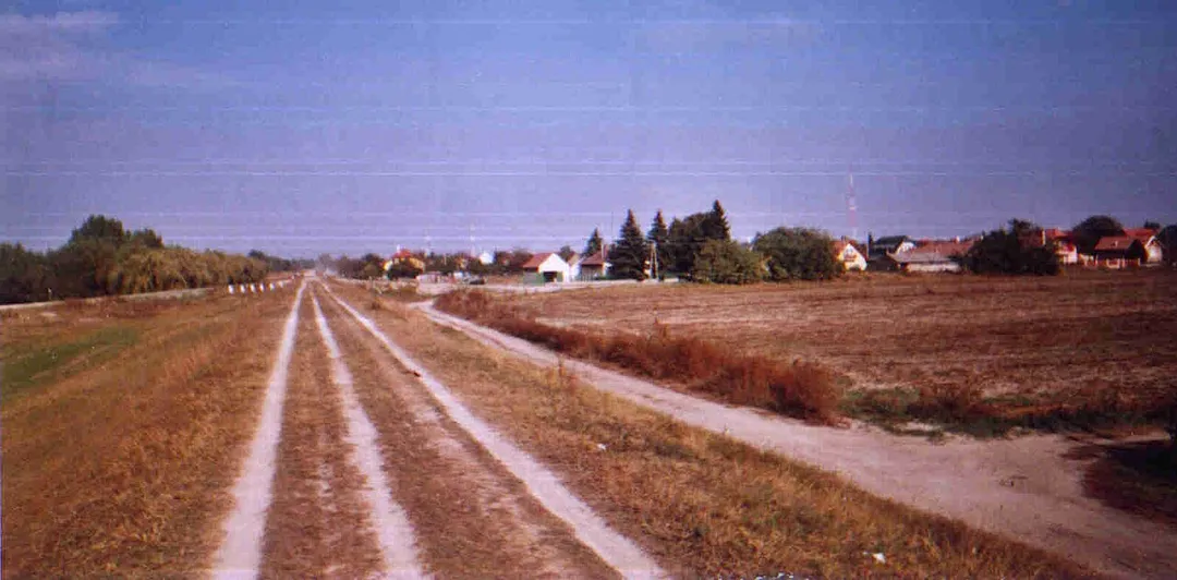
Dirt road on a stone-earth flood protection embankment, Halásztelek, Hungary
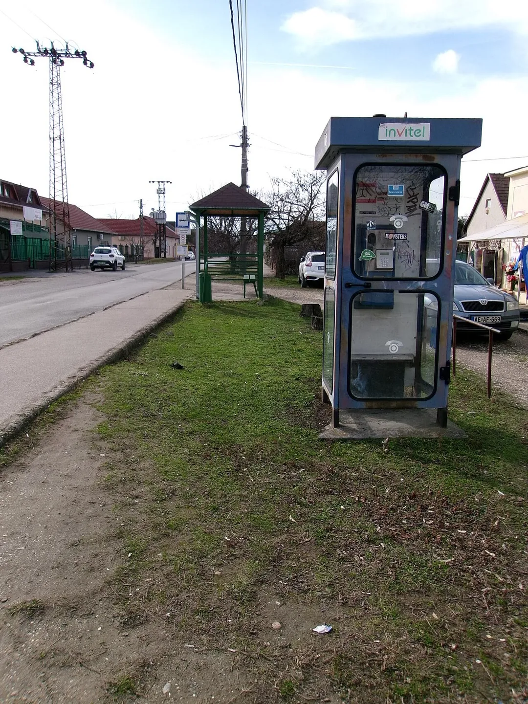
'Halásztelek, Béke utca' bus stop and an Invitel (coin) phone booth - Somogyi Béla Street, Halásztelek, Pest County, Hungary.
Photo by Unknown authorUnknown author
Destinations
Home›Destinations›Halásztelek
EuropeHungaryPest County

Halásztelek

Pest County, Hungary · Europe

About Halásztelek

Halásztelek works well as a base: 10 minutes from Tököl, 16km from Buda Castle.

Halásztelek is in Pest County, Hungary, with about 7,200 people. You drive on the right here. The nearest town is Tököl, about 5 km away.

Where to Stay in Halásztelek

Compare prices across Booking.com, Airbnb, Expedia, and more. Select your dates to see availability.

Filter presets

Pick your must-haves once: provider links open pre-filtered. Each filter lists which sites it applies to.

Booking.comExpediaTripAdvisorHotels.comAgodaAirbnb

Compare before you book!

Prices can vary significantly between platforms. We recommend checking at least 2-3 sites to find the best deal for your stay in Halásztelek.

Explore the Area

Discover famous landmarks, scenic roads, and more near Halásztelek.

Loading map...
Open in Google Maps

Frequently Asked Questions

What is there to see near Halásztelek?

Within an hour or so of Halásztelek: Matthias Church (16 km), Buda Castle (16 km), Budapest Ruin Bars (Szimpla Kert) (16 km), St Stephen's Basilica (16 km).

Are there any good drives near Halásztelek?

The nearest famous roads are Balaton North Shore Drive (Route 71).

Where is Halásztelek?

Halásztelek is in Pest County, Hungary, about 5 km from Tököl.

Road trip

Drive to Halásztelek

Add it as a stop and the planner works out the driving, the nights and what's worth seeing on the way.

Start planning

What's nearby?

Swipe through places to go

Places within a drive of Halásztelek. Keep the ones you like and add them to your trip.

Explore now

Quick Information

Population
7,245
Continent
Europe
Country
Hungary
Region
Pest County
Timezone
Europe/Budapest
Coordinates
47.3617, 18.9812

Emergency & Services

Essential numbers in Hungary

Police
107
Ambulance
104
Fire
105
All emergencies
112
Driving side
right

e-vignette required for motorways. Zero alcohol limit for drivers.

Full driving guide for Hungary

Tags

EuropeHungaryPest CountyTown

Worth the detour from Halásztelek

8 notable places within an hour's drive.

cathedral

Matthias Church

A richly decorated Gothic church in Budapest's Castle District with colorful Zsolnay ceramic roof tiles.

16 km · about 20 min drive

castle

Buda Castle

The historical castle and palace complex of the Hungarian kings on Castle Hill in Budapest, part of a UNESCO World Heritage Site.

16 km · about 30 min drive

landmark

Budapest Ruin Bars (Szimpla Kert)

Iconic nightlife venues built in abandoned buildings and courtyards of the Jewish Quarter, pioneered by the legendary Szimpla Kert.

16 km · about 20 min drive

landmark

St Stephen's Basilica

Neoclassical basilica in Budapest with a dome offering panoramic city views, housing the mummified right hand of St Stephen.

16 km · about 20 min drive

landmark

Széchenyi Chain Bridge

Budapest's most iconic bridge and the first permanent crossing of the Danube between Buda and Pest, a symbol of Hungarian national pride.

16 km · about 30 min drive

scenic viewpoint

Fisherman's Bastion

A fairy-tale neo-Romanesque terrace on Castle Hill offering the most iconic panoramic views over Budapest and the Danube.

16 km · about 20 min drive

cafe

Café Gerbeaud

Hungary's grand confectionery institution on Vörösmarty Square, serving cakes since 1858. Its Gerbeaud slice and dobos torte under chandeliered ceilings made it the benchmark of Hungarian pastry art.

16 km · about 30 min drive

landmark

Hungarian Parliament Building

A breathtaking neo-Gothic masterpiece on the Danube riverbank and one of the largest parliament buildings in the world.

17 km · about 20 min drive

Driving roads near Halásztelek

  • 16 kmFisherman's BastionA fairy-tale neo-Romanesque terrace on Castle Hill offering the most iconic panoramic views over Budapest and the Danube.
  • 28 kmMegyeri BridgeHungary's longest cable-stayed bridge sweeps the M0 motorway across the Danube north of Budapest, its twin 100 m pylons forming a striking modern gateway to the capital.

Driving in Hungary

Drives on
the right
Petrol
~€1.58/litre
Motorway tolls
None
Vignette
Required, around €16 for a short-stay sticker

When to drive here

April to October

Nearby Destinations

Other places to explore near Halásztelek.

Lakihegy

🇭🇺 Hungary

3 km awayPop. 3,088

Százhalombatta

🇭🇺 Hungary

5 km awayPop. 17,566

Szigetszentmiklós

🇭🇺 Hungary

5 km awayPop. 24,874

Diósd

🇭🇺 Hungary

6 km awayPop. 6,168

Budatétény

🇭🇺 Hungary

6 km awayPop. 10,715

Érd

🇭🇺 Hungary

6 km awayPop. 62,408

Taksony

🇭🇺 Hungary

7 km awayPop. 6,129

Budafok

🇭🇺 Hungary

8 km awayPop. 26,782

Plan a trip around Halásztelek

Europe road trip planner

Your trip starts here

Plan a road trip from Halásztelek.

Pick the days, drop in the stops, and share it with whoever's coming.

Start planning
PYRT

The ultimate road trip planning platform. Discover 150,000+ destinations worldwide, plan scenic routes, and create unforgettable adventures.

Inspiration

  • Discover Trips
  • Travel Guides
  • Community

The Product

  • Calendar Planner
  • Integrations
  • How It Works
  • Collaboration Mode
  • Get the App
  • Merchandise: PYRT Supply Co.
  • Become a Creator
  • Trip Marketplace

Plan Your Trip

  • Road Trip Planner
  • Famous Routes
  • Drive Times & Distances
  • Planners by Country
  • Best Road Trip Planner App
  • Discover Road Trips
  • Events
  • Travel Guides
  • How It Works
  • My Trips
  • Community Groups

Company

  • Terms of Service
  • Privacy Policy
  • About PYRT
  • Support
  • Contact Us
  • Sign In
  • Create Account

© 2026 Plan Your Road Trips. All rights reserved.

•[email protected]
Data sources:GeoNames (CC BY 4.0)•Wikimedia Commons (CC BY-SA)•Mapbox•Photography: George Lawrence